Sewall's Point in Martin County, Florida — The American South (South Atlantic)
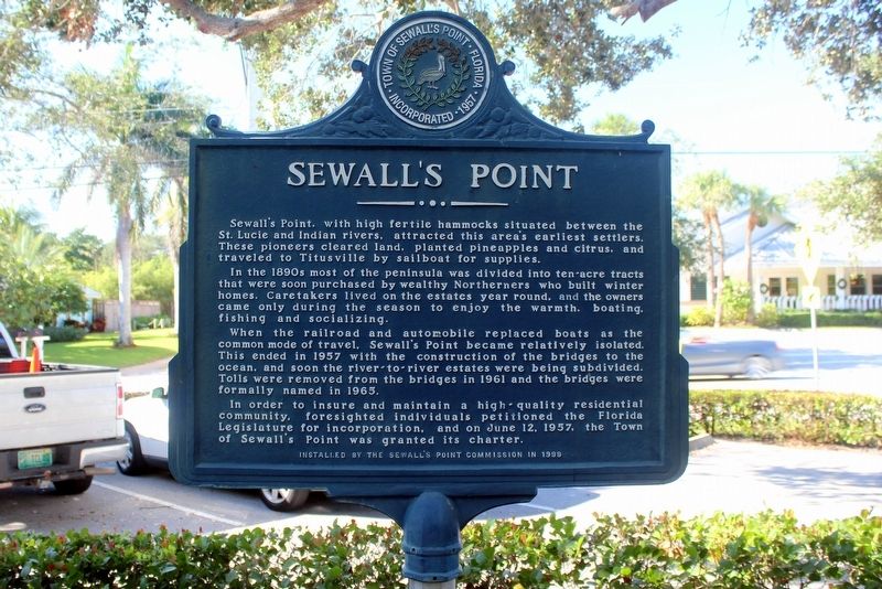
Sewall's Point
In the 1890s most of the peninsula was divided into ten acre tracts that were soon purchased by wealthy Northerners who built their winter homes. Caretakers lived on the estates year round, and the owners came only during the season to enjoy the warmth, boating, fishing and socializing.
When the railroad and automobile replaced boats as the common mode of travel, Sewall's Point became relatively isolated. This ended in 1957 with the construction of the bridges to the ocean, and soon the river-to-river estates were being subdivided. Tolls were removed from the bridges in 1961, and the bridges were formally named in 1965.
In order to ensure and maintain a high quality residential community, foresighted individuals petitioned the Florida Legislature for incorporation, and on June 5th 1957, the Town of Sewall's Point was granted its charter.
Erected 1999 by The Sewall's Point Commission.
Topics. This historical marker is listed in this topic list: Settlements & Settlers. A significant historical date for this entry is June 12, 1957.
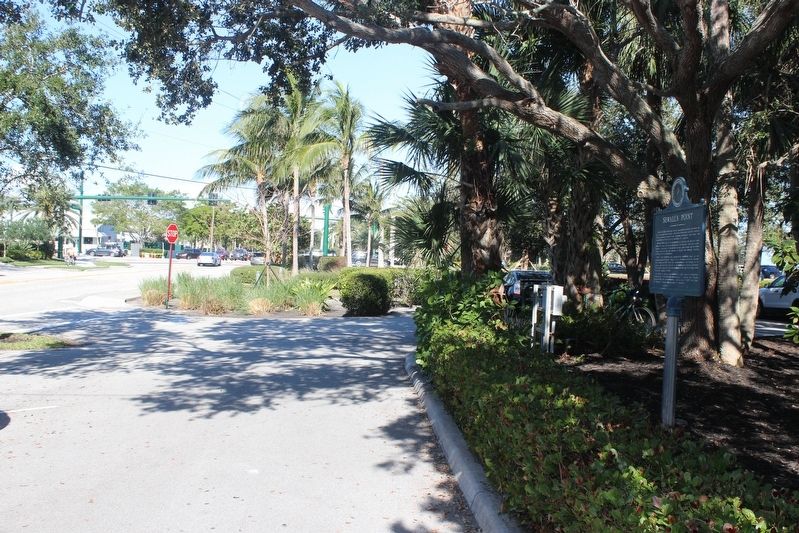
Location. 27° 12.135′ N, 80° 12.002′ W. Marker is in Sewall's Point, Florida, in Martin County. Marker is on South Sewall's Point Road south of Southeast Ocean Boulevard (State Road A1A), on the right when traveling north. Marker is in Sewall's Point Park. Touch for map. Marker is in this post office area: Stuart FL 34996, United States of America. Touch for directions.
Other nearby markers. At least 8 other markers are within 2 miles of this marker, measured as the crow flies. The Bakers of Waveland (approx. ¼ mile away); Combat Wounded Veterans (approx. 1.7 miles away); The Sewall Home, Dock and Pineapple Fields (approx. 1.8 miles away); Mount Elizabeth Mound (approx. 1.9 miles away); Mount Elizabeth (approx. 1.9 miles away); Tuckahoe (approx. 1.9 miles away); The Mansion at Tuckahoe (approx. 2 miles away); Burn Brae Plantation – Krueger House (approx. 2 miles away). Touch for a list and map of all markers in Sewall's Point.
Credits. This page was last revised on October 27, 2020. It was originally submitted on January 1, 2018, by Tim Fillmon of Webster, Florida. This page has been viewed 309 times since then and 28 times this year. Photos: 1, 2. submitted on January 1, 2018, by Tim Fillmon of Webster, Florida. • Bernard Fisher was the editor who published this page.

