North Cleveland Park in Northwest Washington in Washington, District of Columbia — The American Northeast (Mid-Atlantic)
Early Homes
Tenleytown, DC
— Country Village to City Neighborhood —
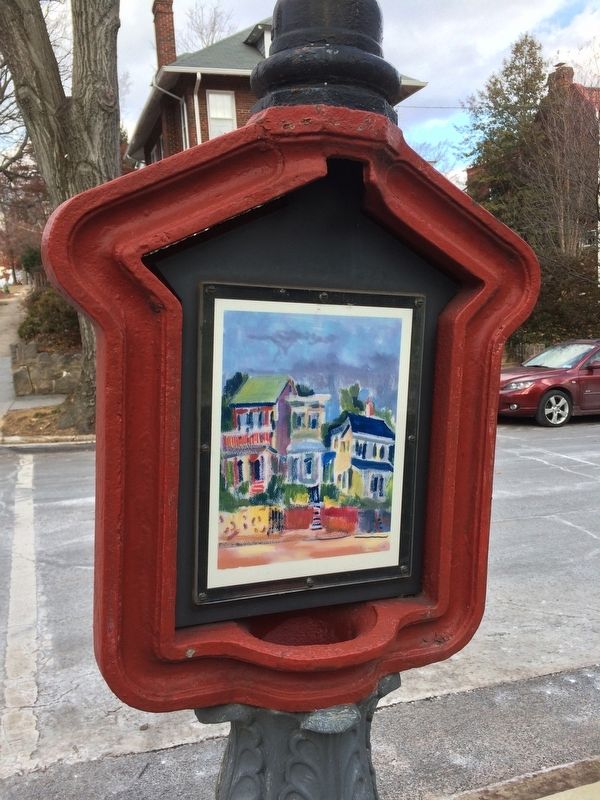
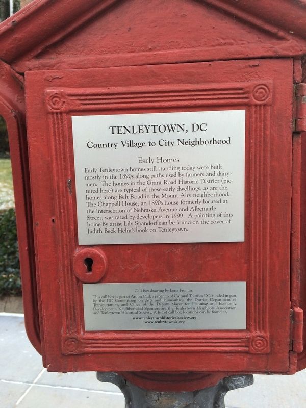
Early Tenleytown homes still standing today were built mostly in the 1890s along paths used by farmers and dairymen. The homes in the Grand Road Historic District (pictured here) are typical of these early dwellings, as are the homes along Belt Road in the Mount Airy neighborhood. The Chappell House, an 1890s house formerly located at the intersection of Nebraska Avenue and Albemarle Street, was razed by developers in 1999. A painting of this home by artist Lily Spandorf can be found on the cover of Judith Beck Helm's book on Tenleytown.
Erected by Cultural Tourism DC.
Topics and series. This historical marker is listed in this topic list: Architecture. In addition, it is included in the DC, Art on Call series list. A significant historical year for this entry is 1890.
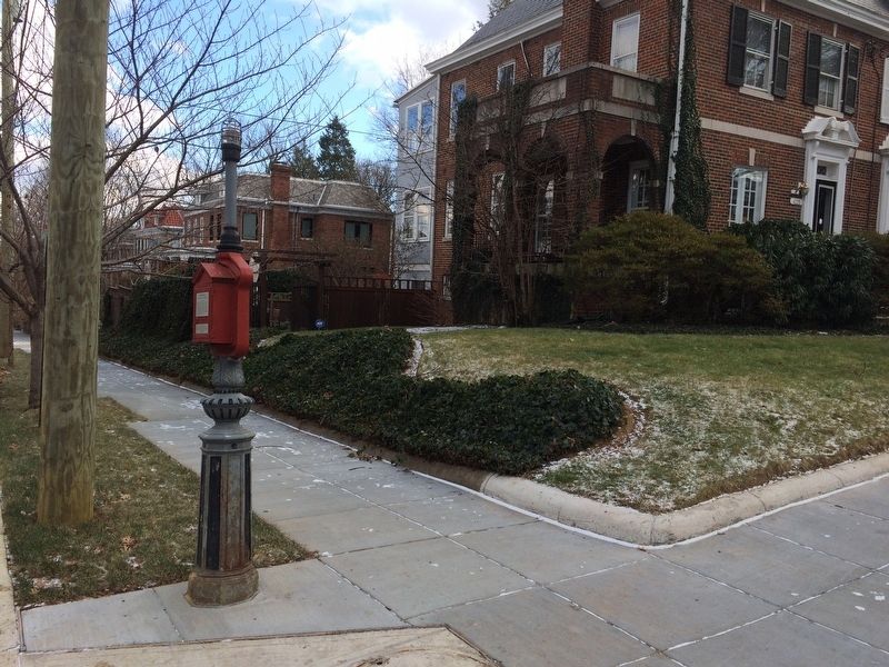
Location. 38° 56.681′ N, 77° 4.471′ W. Marker is in Northwest Washington in Washington, District of Columbia. It is in North Cleveland Park. Marker is at the intersection of Warren Street Northwest and 38th Street Northwest, on the right when traveling east on Warren Street Northwest. Touch for map. Marker is at or near this postal address: 4425 38th Street Northwest, Washington DC 20016, United States of America. Touch for directions.
Other nearby markers. At least 8 other markers are within walking distance of this marker. Firehouse (about 700 feet away, measured in a direct line); Community Building Blocks (approx. 0.2 miles away); The Rest (approx. 0.2 miles away); Transportation Hub (approx. 0.2 miles away); Veterans and 9/11 Memorial (approx. 0.2 miles away); A Country Road (approx. ¼ mile away); On the Circle (approx. ¼ mile away); Wormely Family Estate Site (approx. 0.3 miles away). Touch for a list and map of all markers in Northwest Washington.
Credits. This page was last revised on January 30, 2023. It was originally submitted on January 1, 2018, by Devry Becker Jones of Washington, District of Columbia. This page has been viewed 179 times since then and 11 times this year. Photos: 1, 2, 3. submitted on January 1, 2018, by Devry Becker Jones of Washington, District of Columbia. • Bill Pfingsten was the editor who published this page.


