Ninety Six in Greenwood County, South Carolina — The American South (South Atlantic)
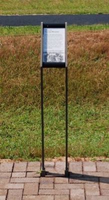
Second Parallel
June 3, 1781
Erected 2009 by National Park Service, U.S. Department of the Interior.
Topics. This historical marker is listed in these topic lists: Forts and Castles • Man-Made Features • Patriots & Patriotism • War, US Revolutionary. A significant historical month for this entry is June 1734.
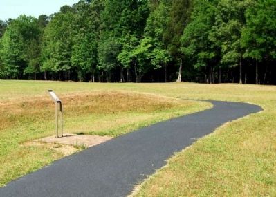
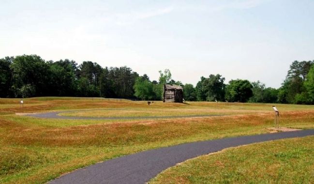
Location. 34° 8.815′ N, 82° 1.119′ W. Marker is in Ninety Six, South Carolina, in Greenwood County. Marker can be reached from South Cambridge Street (Route 248). Marker is on the grounds of Ninety Six Historic Park battlefield. Touch for map. Marker is in this post office area: Ninety Six SC 29666, United States of America. Touch for directions.
Other nearby markers. At least 10 other markers are within walking distance of this marker. Second Approach Trench (here, next to this marker); Approach Trench (a few steps from this marker); The Rifle Tower (within shouting distance of this marker); The Artillery (within shouting distance of this marker); The Mine (within shouting distance of this marker); Island Ford Road (about 300 feet away, measured in a direct line); The British Fortifications (about 300 feet away); The Attack (about 300 feet away); The Patriots Lay Siege to the Star Fort (about 300 feet away); Trader with Pack Horse (about 300 feet away). Touch for a list and map of all markers in Ninety Six.
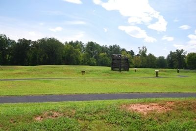
More about this marker. Marker shown in Photo 1 is the current version of the marker.
Also see . . .
1. Ninety Six National Historic Site (U.S. National Park Service). Here settlers struggled against the harsh backcountry to survive, Cherokee Indians hunted and fought to keep their land, two towns and a trading post were formed and abandoned to the elements, and two Revolutionary War battles that claimed over 100 lives took place here. (Submitted on September 8, 2008, by Brian Scott of Anderson, South Carolina.)
2. Otho Holland Williams. Otho Holland Williams (March 1, 1749 – July 15, 1794) was a famous Continental Army soldier from Maryland in the American Revolutionary War. (Submitted on September 8, 2008, by Brian Scott of Anderson, South Carolina.)
Photographed By Brian Scott, September 5, 2008
3. Original The Second Parallel Marker
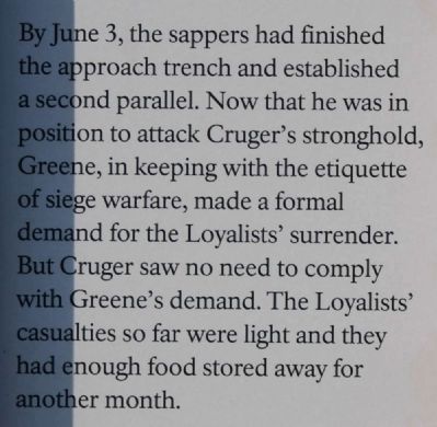
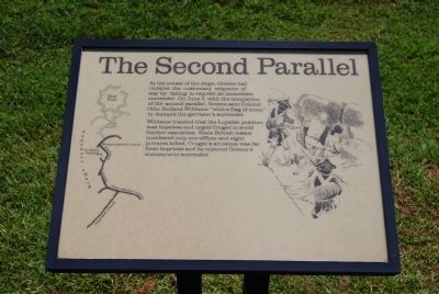
At the onset of the siege, Greene had violated the customary etiquette of war by failing to request an immediate surrender. On June 3, with the completion of the second parallel, Greene sent Colonel Otho Holland Williams "with a flag of truce" to demand the garrison's surrender.
Williams insisted that the Loyalist position was hopeless and urged Cruger to avoid further casualties. Since British losses numbered only one officer and eight privates killed, Cruger's situation was far from hopeless and he rejected Greene's summons to surrender.
Williams insisted that the Loyalist position was hopeless and urged Cruger to avoid further casualties. Since British losses numbered only one officer and eight privates killed, Cruger's situation was far from hopeless and he rejected Greene's summons to surrender.
Credits. This page was last revised on November 20, 2020. It was originally submitted on September 8, 2008, by Brian Scott of Anderson, South Carolina. This page has been viewed 793 times since then and 18 times this year. Photos: 1, 2. submitted on July 11, 2010, by Brian Scott of Anderson, South Carolina. 3. submitted on September 8, 2008, by Brian Scott of Anderson, South Carolina. 4, 5. submitted on July 11, 2010, by Brian Scott of Anderson, South Carolina. 6. submitted on September 8, 2008, by Brian Scott of Anderson, South Carolina. • Craig Swain was the editor who published this page.
