Cleveland Park in Northwest Washington in Washington, District of Columbia — The American Northeast (Mid-Atlantic)
Early Fire Fighting
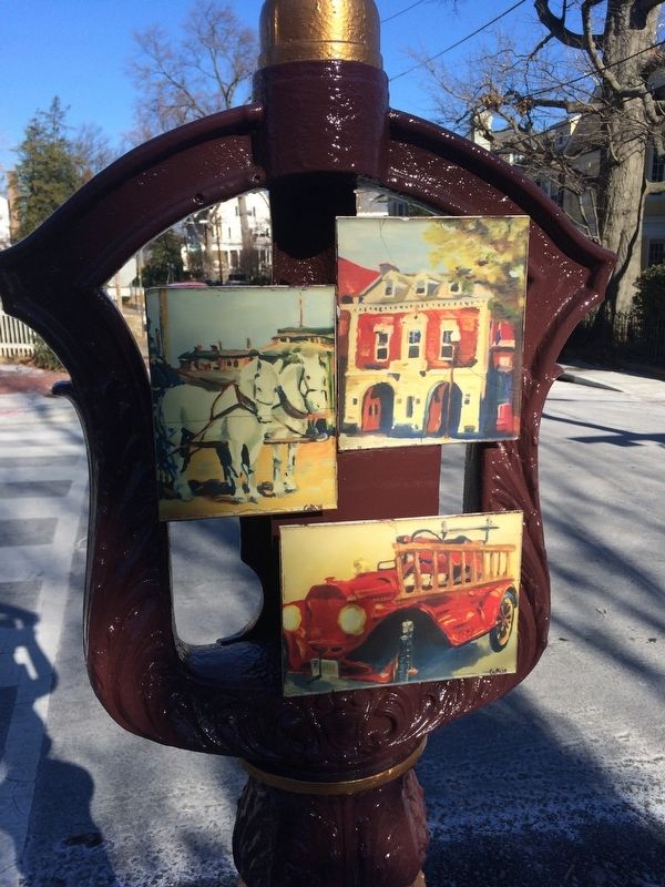
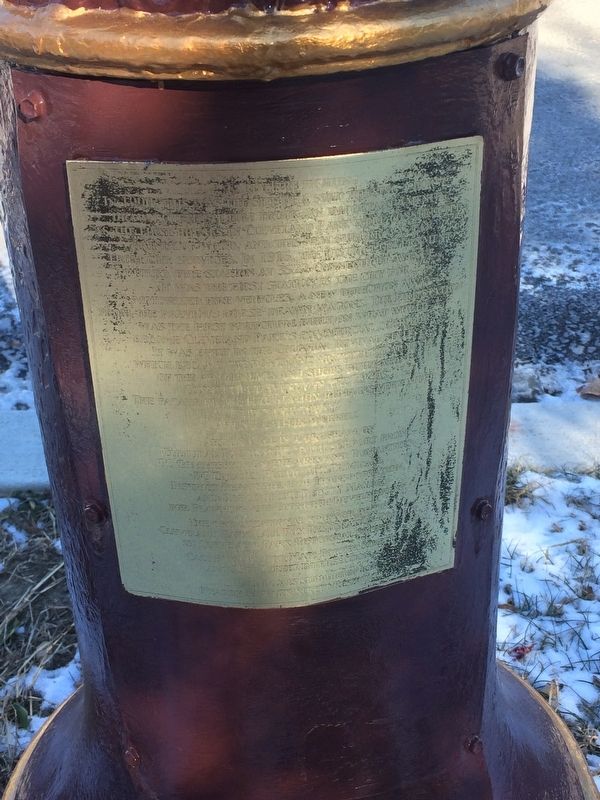
In 1910, this was the site of a shed hosting a horse drawn chemical fire truck, an important amenity as the first houses in Cleveland Park were constructed mainly of wood, and the new suburb was far from city services. In 1916, the District Government built a fire station at 3522 Connecticut Avenue. It was the first station in the city for motorized fire vehicles. A new direction, away from the firemen's horse-drawn wagons. The fire station was the first structure built on what would become Cleveland Park's commercial corridor. It was built in the Colonial Revival style, which became the dominant architectural style in the 1920s. The façade of the fire station remains very much that way today.
Artist: Caitlin Werrell
Erected by Cultural Tourism DC. (Marker Number 7.)
Topics and series. This historical marker is listed in these topic lists: Architecture • Charity & Public Work. In addition, it is included in the DC, Art on Call series list. A significant historical year for this entry is 1910.
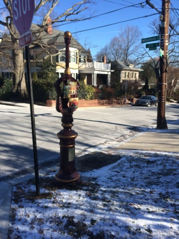
Location. 38° 56.076′ N, 77° 3.895′ W. Marker has been reported unreadable. Marker is in Northwest Washington in Washington, District of Columbia. It is in Cleveland Park. Marker is at the intersection of Newark Street Northwest and 33rd Place Northwest, on the right when traveling east on Newark Street Northwest. Touch for map. Marker is at or near this postal address: 3300 Newark Street Northwest, Washington DC 20008, United States of America. Touch for directions.
Other nearby markers. At least 8 other markers are within walking distance of this location. Sherman Cottages (approx. 0.2 miles away); Tregaron Conservancy (approx. 0.2 miles away); The Story of Rosedale (approx. 0.2 miles away); Site of Red Top (approx. 0.2 miles away); Causeway at Tregaron (approx. ¼ mile away); Landscape (approx. ¼ mile away); Map (approx. ¼ mile away); Bungalow (approx. ¼ mile away). Touch for a list and map of all markers in Northwest Washington.
Credits. This page was last revised on January 30, 2023. It was originally submitted on January 7, 2018, by Devry Becker Jones of Washington, District of Columbia. This page has been viewed 290 times since then and 10 times this year. Photos: 1, 2, 3. submitted on January 7, 2018, by Devry Becker Jones of Washington, District of Columbia. • Bill Pfingsten was the editor who published this page.


