Cahaba in Dallas County, Alabama — The American South (East South Central)
Methodist Church
Photographed by Mark Hilton, January 6, 2018
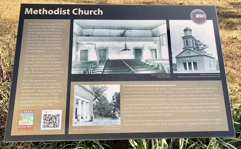
1. Methodist Church Marker
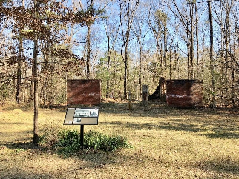
These ruins were once a place of worship for members of the Methodist Episcopal Church South. Built in 1849, it was the first single denomination church in Cahawba. An earlier church for the common use of all denominations was erected about 1840. Previous to that date, public worship was held in Alabama's Statehouse or in the Dallas County Courthouse.
Although not a member of the church at the time, William Curtis, one of Cahawba's oldest citizens, donated this land so a Methodist Church could be built. The first minister assigned to the church, Rev. James L. Cotten, fell in love with Curtis' youngest daughter Lucy.
Mr. Curtis opposed their marriage because of Cotten's “want of education, indolence, excessive levity, transient life, and manners" - also because he had "paid attentions to Miss Brown!" Despite her father's opinion, Lucy eventually accepted Rev. Cotten's proposal. They were married on March 7, 1853.
St. Paul's African Methodist Episcopal Church
During his first year in Cahawba, Rev. James L. Cotten's congregation was composed of eighty-three whites and one hundred and fifty African Americans.
this page online
So when emancipation came, Cahawba's African American residents wanted a church that was truly their own. They formed an African Methodist Episcopal congregation. Cahawba's white Methodists had moved away, so the Black congregation was able to use this vacated church. From then on, this building was known as St. Paul's A.M.E. Church.
In 1954, sparks from a fire in the nearby woods ignited the wooden steeple. The brick walls toppled before the fire squad could respond. In the end, the number of worshipers had dwindled to seven.
Erected 2015 by the Alabama Historical Commission.
Topics and series. This historical marker is listed in these topic lists: African Americans • Religion & Religious Structures • Settlements & Settlers. In addition, it is included in the African Methodist Episcopal (AME) Church, and the Alabama Historical Commission series lists. A significant historical date for this entry is March 7, 1853.
Location. 32° 18.995′ N,
Photographed by Mark Hilton, January 6, 2018
2. Methodist Church Ruins and Marker

Regionally, this marker is in the American South, specifically in the Deep South, and in the Black Belt. Globally, it is in North America, a Gulf of Mexico state, the Western Hemisphere, the Western World, and the Anglosphere. Historically, it finds itself in what was once New Spain, the territory of the Mississippian Culture, one of the Confederate States of America, and the Antebellum South.
Other nearby markers. At least 8 other markers are within walking distance of this marker: Double Duty: Burial Society & School (a few steps from this marker); Anna Gayle Fry House (about 400 feet away, measured in a direct line); "Hell in Harness" (about 600 feet away); Working on Walnut Street (about 700 feet away); Footprint of a Church (approx. 0.2 miles
Photographed by Mark Hilton, January 6, 2018
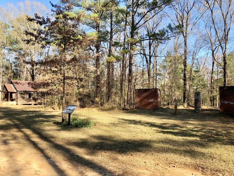
3. Marker and Former One Room School
Other markers no longer nearby. Site of Alabama's Statehouse (was about 800 feet away but has been replaced with another marker now near it); Alabama's First Statehouse (was approx. 0.2 miles away but has been replaced with another marker now near it); St. Luke's Episcopal Church (was approx. 0.2 miles away but has been permanently removed).
Also see . . . Old Cahawba Archaeological Park - Alabama Historical Commission. (Submitted on January 7, 2018, by Mark Hilton of Montgomery, Alabama.)
Photographed by Mark Hilton, January 6, 2018
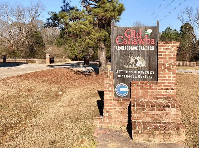
4. Entrance to Cahawba Archaeological Park
Credits. This page was last revised on February 17, 2025. It was originally submitted on January 7, 2018, by Mark Hilton of Montgomery, Alabama. This page has been viewed 1,860 times since then and 48 times this year. It was the Marker of the Week February 16, 2025. Photos: 1, 2, 3, 4. submitted on January 7, 2018, by Mark Hilton of Montgomery, Alabama.
