Eagle Point in Jackson County, Oregon — The American West (Northwest)
Eagle Point
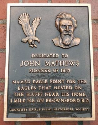
Photographed by Barry Swackhamer, September 21, 2017
1. Eagle Point Marker
John Mathew
Pioneer of 1853
Named Eagle Point for the Eagles that nested on the Bluffs near his home, 1 mile N.E, on Brownsboro Rd.
Erected by Eagle Point Historical Society.
Topics. This historical marker is listed in this topic list: Settlements & Settlers.
Location. 42° 28.398′ N, 122° 47.973′ W. Marker is in Eagle Point, Oregon, in Jackson County. It is on North Royal Avenue near Napa Street. Touch for map. Marker is at or near this postal address: 202 North Royal Avenue, Eagle Point OR 97524, United States of America. Touch for directions.

Regionally, this marker is in Southern Oregon. It is also on the American Pacific Coast, in the Pacific Northwest, and in the Lewis & Clark Corridor. Globally, it is in North America, in the Cascade Range, on the Ring of Fire, on the Pacific Rim, in the Western Hemisphere, in the Western World, and in the Anglosphere. Historically, it finds itself in what was once New Spain.
Other nearby markers. At least 8 other markers are within 8 miles of this marker, measured as the crow flies: Snowy Butte Mill
this page online
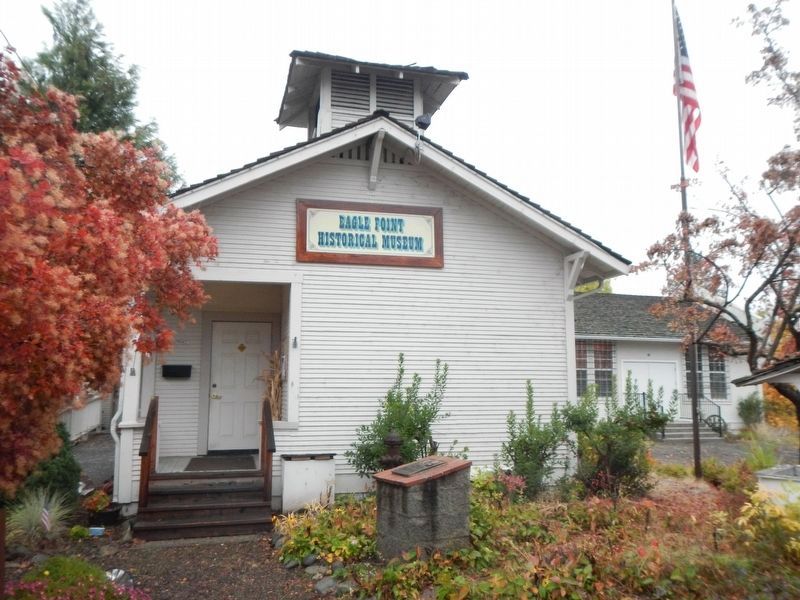
Photographed by Barry Swackhamer, September 21, 2017
2. Eagle Point Marker
Credits. This page was last revised on January 26, 2018. It was originally submitted on January 13, 2018, by Barry Swackhamer of Brentwood, California. This page has been viewed 439 times since then and 33 times this year. Photos: 1, 2. submitted on January 13, 2018, by Barry Swackhamer of Brentwood, California.
