Litchfield in Lassen County, California — The American West (Pacific Coastal)
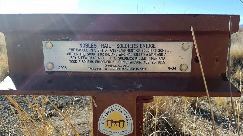
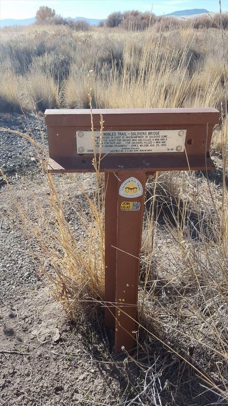
Nobles Trail - Soldiers Bridge
Out on the scout for Indians who had killed a man and a
boy a few days ago ... (the soldiers) killed 11 men and
took 2 squaws prisoners” — John S. Wilson, Aug. 25, 1859
Erected 2006 by Trails West Inc. (Marker Number N-26.)
Topics and series. This historical marker is listed in these topic lists: Exploration • Native Americans. In addition, it is included in the California Trail, the Nobles Trail, and the Trails West Inc. series lists. A significant historical date for this entry is August 25, 1859.
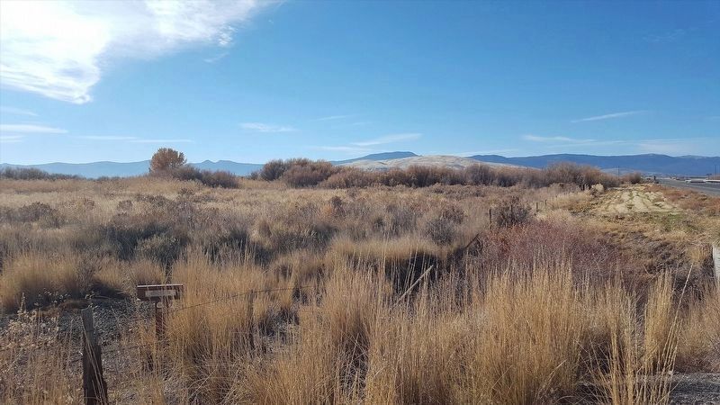
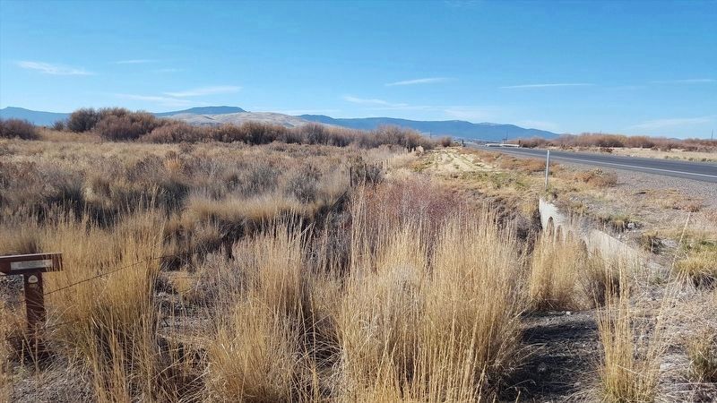
Location. 40° 22.686′ N, 120° 23.587′ W. Marker is in Litchfield, California, in Lassen County. Marker is on U.S. 395, on the right when traveling north. Touch for map. Marker is in this post office area: Litchfield CA 96117, United States of America. Touch for directions.
Other nearby markers. At least 4 other markers are within 12 miles of this marker, measured as the crow flies. Noble Emigrant Trail (approx. 6.4 miles away); Before the Nobles Trail (approx. 6.4 miles away); Fort Janesville (approx. 9 miles away); Jacks Valley (approx. 11.3 miles away).
More about this marker. T-marker is difficult to spot from the highway and surrounded by tall grass. Slow down just as you cross the bridge over Susan River heading NE. It'll be on your right.
Also see . . . Trails West Inc. - Nobles Trail. (Submitted on January 13, 2018, by Douglass Halvorsen of Klamath Falls, Oregon.)
Credits. This page was last revised on January 23, 2018. It was originally submitted on January 13, 2018, by Douglass Halvorsen of Klamath Falls, Oregon. This page has been viewed 236 times since then and 15 times this year. Photos: 1, 2, 3, 4. submitted on January 13, 2018, by Douglass Halvorsen of Klamath Falls, Oregon. • Syd Whittle was the editor who published this page.


