Malin in Klamath County, Oregon — The American West (Northwest)
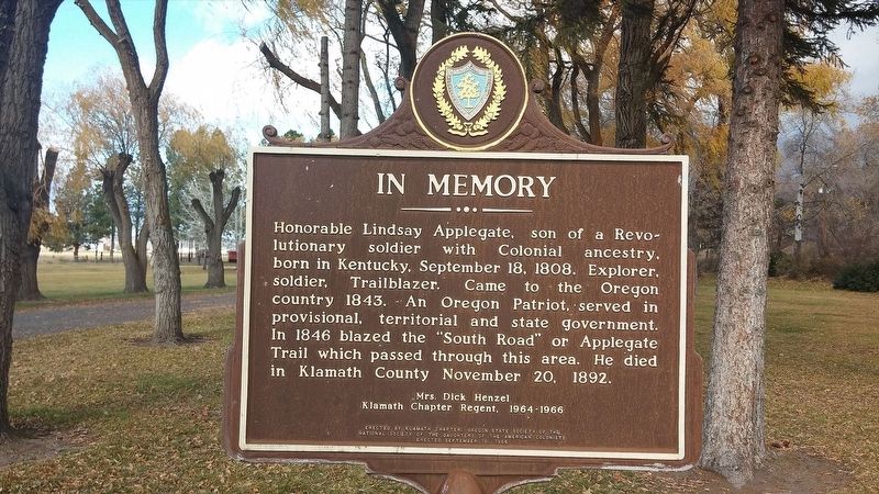
Lindsey Applegate
Klamath Chapter Regent, 1964-1966
Erected 1965 by Klamath Chapter, Oregon State Society of the National Society of the Daughters of the American Colonists.
Topics and series. This historical marker is listed in these topic lists: Exploration • Patriots & Patriotism • Roads & Vehicles. In addition, it is included in the Applegate Trail, and the Daughters of the American Colonists series lists. A significant historical date for this entry is September 18, 1808.
Location. 42° 0.95′ N, 121° 24.728′ W. Marker is in Malin, Oregon, in Klamath County. Touch for map. Marker is in this post office area: Malin OR 97632, United States of America. Touch for directions.
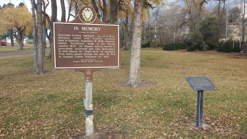
Other nearby markers. At least 8 other markers are within 8 miles of this marker, measured as the crow flies. Applegate Trail (here, next to this marker); Tulelake World War II War Memorial (approx. 5.3 miles away in California); Applegate Trail - Bloody Point (approx. 6.6 miles away in California); Burnett Cutoff - At Klamath [Tule] Lake (approx. 6.6 miles away in California); The Ranch of J. Frank Adams (approx. 6.9 miles away); Dennis Crawley Cabin (approx. 7.1 miles away); Stone Bridge (approx. 7.7 miles away); a different marker also named The Stone Bridge (approx. 7.7 miles away). Touch for a list and map of all markers in Malin.
More about this marker. This marker is locate in Malin Park. A nearby marker highlights the history of the Applegate Trail.
Credits. This page was last revised on January 17, 2018. It was originally submitted on January 13, 2018, by Douglass Halvorsen of Klamath Falls, Oregon. This page has been viewed 330 times since then and 39 times this year. Photos: 1, 2. submitted on January 13, 2018, by Douglass Halvorsen of Klamath Falls, Oregon. • Andrew Ruppenstein was the editor who published this page.

