Merrill in Klamath County, Oregon — The American West (Northwest)
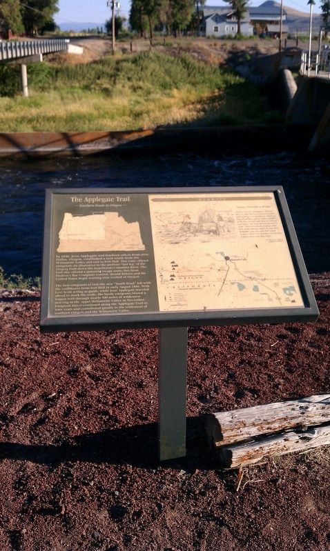
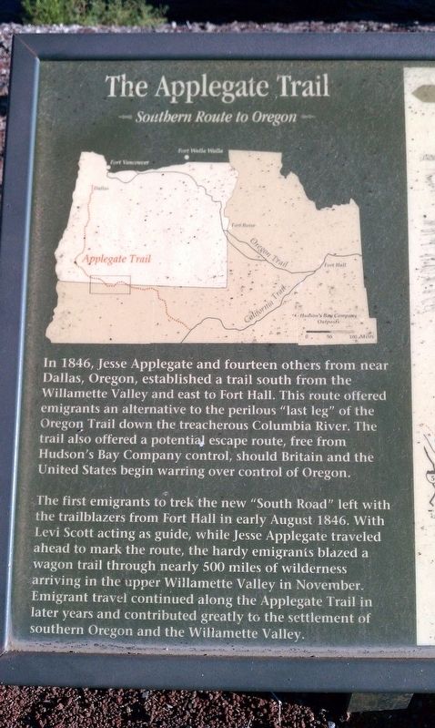
The Applegate Trail
Southern Route to Oregon
In 1846, Jesse Applegate and fourteen others from near Dallas, Oregon, established a trail south from the Willamette Valley and east to Fort Hall. This route offered emigrants an alternative to the perilous “last leg” of the Oregon Trail down the treacherous Columbia River. The trail also offered a potential escape route, free from Hudson’s Bay Company control, should Britain and the United States begin warring over control of Oregon.
The first emigrants to trek the new “South Road” left with the trailblazers from Fort Hall in early August 1846. With Levi Scott acting as guide, while Jesse Applegate traveled ahead to mark the route, the hardy emigrants blazed a wagon trail through nearly 500 miles of wilderness arriving in the upper Willamette Valley in November. Emigrant travel continued along the Applegate Trail in later years and contributed greatly to the settlement of southern Oregon and the Willamette Valley.
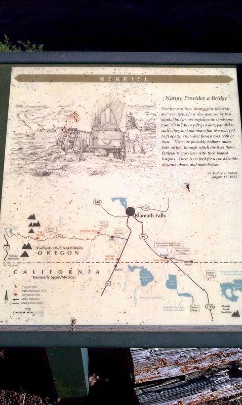
Nature Provides a Bridge
“The river was here about eighty feet wide and very deep, but it was spanned by two natural bridges of conglomerate sandstone from 10 to fifteen feet in width, parallel to each other and not more that two rods (33 feet) apart. The water flowed over both of them. There are probably hollows under boy arches, through with the river flows. Emigrants cross here with their loaded wagons. There is no ford for a considerable distance above and none below.”
Lt. Henry L. Abbot, August 13, 1855.
Topics and series. This historical marker is listed in these topic lists: Exploration • Roads & Vehicles. In addition, it is included in the Applegate Trail series list. A significant historical month for this entry is August 1846.
Location. 42° 0.641′ N, 121° 33.673′ W. Marker is in Merrill, Oregon, in Klamath County. Marker is on Malone Rd, on the right when traveling south. Touch for map. Marker is in this post office area: Merrill OR 97633, United States of America. Touch for directions.
Other nearby markers. At least 8 other markers are within 6 miles of this marker, measured as the crow flies. The Stone Bridge (here, next to this marker); a different marker also named Stone Bridge (here, next to this marker); Dennis Crawley Cabin (approx. 1.1 miles away); The Ranch of J. Frank Adams (approx. 1.2 miles away); Applegate Trail - Clammett Lake (approx. 2.2 miles away in California); Camp Tulelake (approx. 2.9 miles away in California); White Lake City (approx. 4.3 miles away); Tulelake World War II War Memorial (approx. 5.7 miles away in California). Touch for a list and map of all markers in Merrill.
Credits. This page was last revised on January 19, 2018. It was originally submitted on January 15, 2018, by Douglass Halvorsen of Klamath Falls, Oregon. This page has been viewed 199 times since then and 23 times this year. Photos: 1, 2, 3, 4. submitted on January 15, 2018, by Douglass Halvorsen of Klamath Falls, Oregon. • Bill Pfingsten was the editor who published this page.


