Cahaba in Dallas County, Alabama — The American South (East South Central)
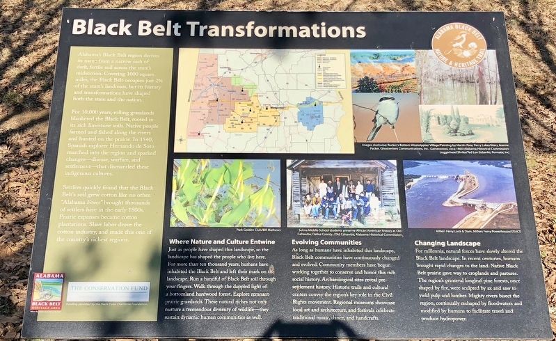
Black Belt Transformations
For 10,000 years, rolling grasslands blanketed the Black Belt, rooted in its rich limestone soils. Native people farmed and fished along the rivers and hunted on the prairie. In 1540, Spanish explorer Hernando de Soto marched into the region and sparked changes—disease, warfare, and settlement—that dismantled these indigenous cultures.
Settlers quickly found that the Black Belt's soil grew cotton like no other. "Alabama Fever" brought thousands of settlers here in the early 1800s. Prairie expanses became cotton plantations. Slave labor drove the cotton industry, and made this one of the country's richest regions.
Where Nature and Culture Entwine
Just as people have shaped this landscape, so the landscape has shaped the people who live here. For more than ten thousand years, humans have inhabited the Black Belt and left their mark on the landscape. Run a handful of Black Belt soil through your fingers. Walk through the dappled light of a bottomland hardwood forest. Explore remnant prairie grasslands. These natural riches not only nurture a tremendous diversity of wildlife—they sustain dynamic human communities as well.
Evolving Communities
As long as humans have inhabited this landscape, Black Belt communities have continuously changed and evolved. Community members have begun working together to conserve and honor this rich social history. Archaeological sites reveal pre- settlement history. Historic trails and cultural centers convey the region's key role in the Civil Rights movement. Regional museums showcase local art and architecture, and festivals celebrate traditional music, dance, and handcrafts.
Changing Landscape
For millennia, natural forces have slowly altered the Black Belt landscape. In recent centuries, humans brought rapid changes to the land. Native Black Belt prairie gave way to croplands and pastures. The region's primeval longleaf pine forests, once shaped by fire, were sculpted by ax and saw to yield pulp and lumber. Mighty rivers bisect the region, continually reshaped by floodwaters and modified by humans to facilitate travel and produce hydropower.
Erected 2013 by the Alabama Black Belt Nature & Heritage Trail.
Topics. This historical marker is listed in these topic
lists: Agriculture • Horticulture & Forestry.
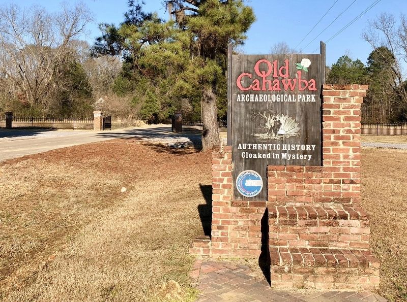
Location. 32° 19.182′ N, 87° 6.264′ W. Marker is in Cahaba, Alabama, in Dallas County. Marker is at the intersection of Capitol Avenue and Cahaba Road, on the right when traveling east on Capitol Avenue. Located within the Cahawba Archaeological Park. Touch for map. Marker is at or near this postal address: Capitol Avenue, Orrville AL 36767, United States of America. Touch for directions.
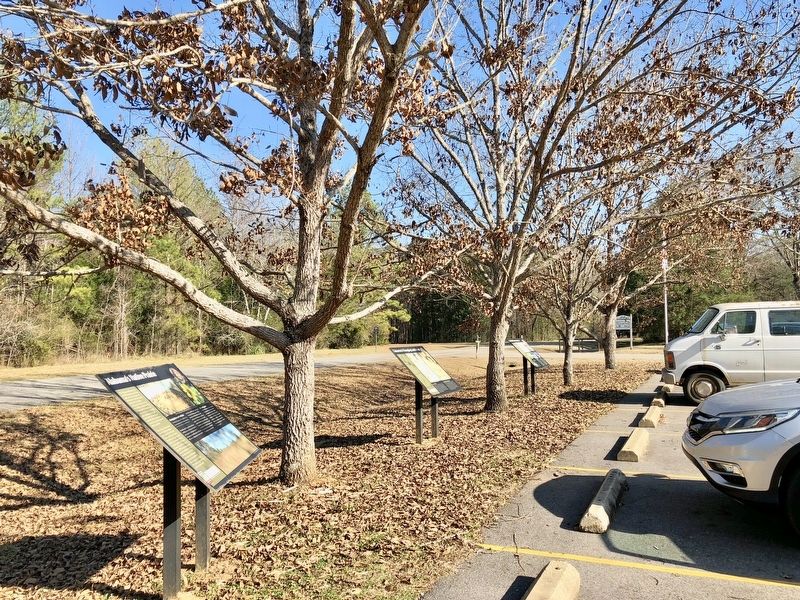
Other nearby markers. At least 8 other markers are within walking distance of this marker. Cahawba's Changing Landscape (here, next to this marker); Cahawba’s Current Residents (a few steps from this marker); Who Lived Here? (approx. ¼ mile away); Anna Gayle Fry House (approx. ¼ mile away); Methodist Church (approx. 0.4 miles away); Old Cemetery (approx. 0.4 miles away); Memorials for Prisoners of War (approx. 0.4 miles away); Lafayette's Tour (approx. 0.4 miles away). Touch for a list and map of all markers in Cahaba.
Credits. This page was last revised on January 15, 2018. It was originally submitted on January 15, 2018, by Mark Hilton of Montgomery, Alabama. This page has been viewed 351 times since then and 53 times this year. Photos: 1, 2, 3. submitted on January 15, 2018, by Mark Hilton of Montgomery, Alabama.


