Amsterdam-Centrum , North Holland, Netherlands — Northwestern Europe
Spoorviaduct Oostertoegang Centraal Station
⎯⎯⎯
Railway Viaduct, Eastern Entrance, Central Station
Photographed by Andrew Ruppenstein, June 19, 2017
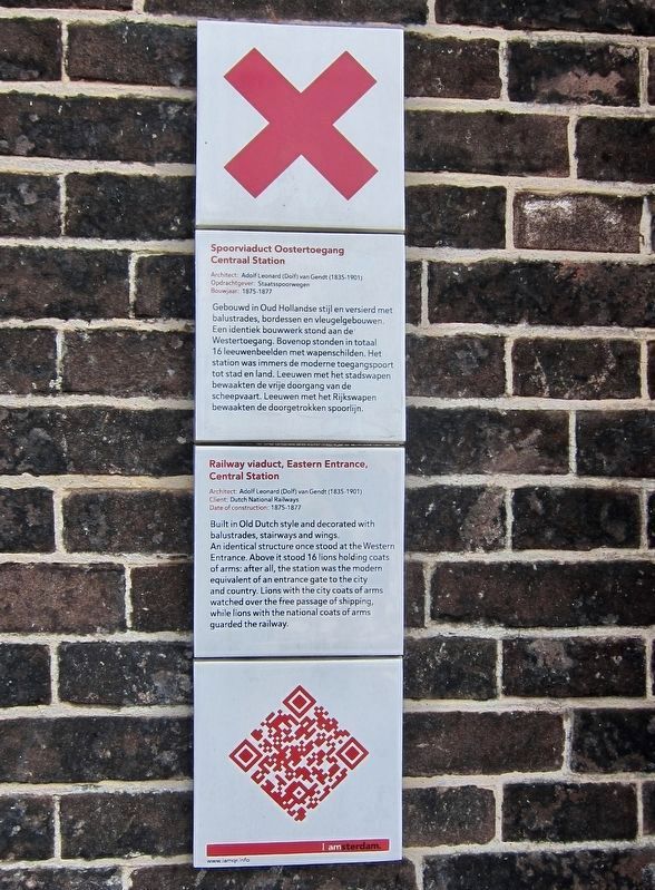
1. Railway Viaduct, Eastern Entrance, Central Station Marker

Spoorviaduct Oostertoegang Centraal Station
Architect: Adolf Leonard (Dolf) van Gendt (1835-1901)
Opdrachtgever: Staatsspoorwegen
Bouwjaar: 1875-1877
Gebouwd in Oud Hollandse stijl en versierd met balustrades, bordessen en vleugelgebouwen. Een identiek bouwwerk stond aan de Westertoegang. Bovenop stonden in totaal 16 leeuwenbeelden met wapenschilden. Het station was immers de moderne toegangspoort tot stad en land. Leeuwen met het stadswapen bewaakten de vrije doorgang van de scheepvaart. Leeuwen met het Rijkswapen bewaakten de doorgetrokken spoorlijn.
Architect: Adolf Leonard (Dolf) van Gendt (1835-1901)
Client: Dutch National Railways
Date of Construction: 1875-1877
Built in Old Dutch style and decorated with balustrades, stairways and wings. An identical structure once stood at the Western Entrance. Above it stood 16 lions holding coats of arms: after all, the station was the modern equivalent of an entrance gate to the city and country. Lions with the city coats of arms watched over the free passage of shipping, while lions with the national
this page online
Erected by IAmsterdam.
Topics and series. This historical marker is listed in these topic lists: Bridges & Viaducts • Railroads & Streetcars. In addition, it is included in the IAmsterdam series list.
Location. 52° 22.629′ N, 4° 54.25′ E. Marker is in Amsterdam, Noord-Holland (North Holland). It is in Amsterdam-Centrum. It is at the intersection of Oosterdoksstraat and Oosterdokskade on Oosterdoksstraat. Touch for map. Marker is at or near this postal address: Oosterdoksstraat 4, Amsterdam, Noord-Holland 1011 DK, Netherlands. Touch for directions.

Regionally, it is in Europe, the European Union, Atlantic Europe, the Benelux Low Countries, the Schengen Area, Western Europe, and the Western World. Historically, it finds itself in what was once the Holy Roman Empire.
Other nearby markers. At least 8 other markers are within walking distance of this marker: Henry Hudson (about 150 meters away, measured in a direct line); Schreierstoren (about 150 meters away); De Ruijterkade 127 (about 210 meters away); " 'T Saligh Roemers Huys / The Delightful House of Roemer
Photographed by Andrew Ruppenstein, June 19, 2017
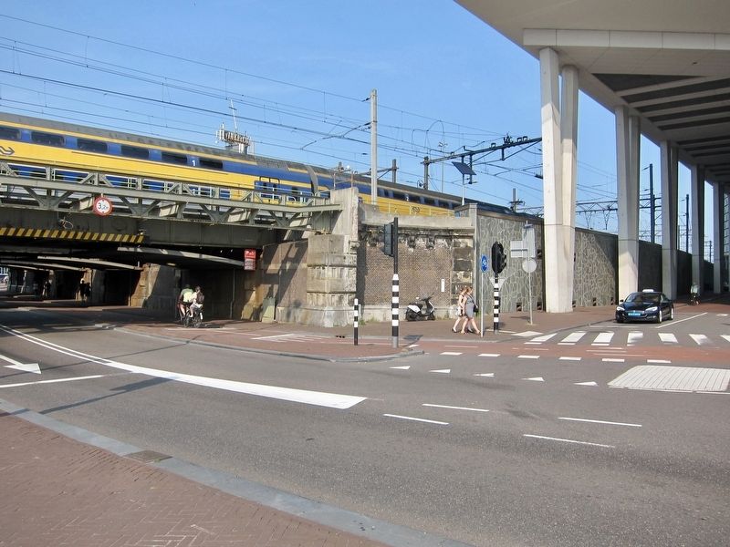
2. Railway Viaduct, Eastern Entrance, Central Station Marker - Wide View
The marker is visible here just behind the two female pedestrians.
Photographed by Andrew Ruppenstein, June 19, 2017
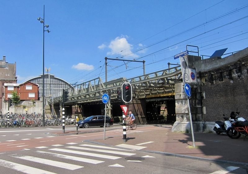
3. Spoorviaduct Oostertoegang Centraal Station / Railway Viaduct, Eastern Entrance, Central Station
Here in this picture of the viaduct, a bit of Central Station is visible on the left, and the marker itself is just out of the picture on the right. What both this picture and the marker fail to convey is the scale of the viaduct - at the marker location the viaduct carries at least 10 separate tracks plus switching tracks plus a bit more room - it is quite wide.
Credits. This page was last revised on December 31, 2023. It was originally submitted on January 17, 2018, by Andrew Ruppenstein of Lamorinda, California. This page has been viewed 293 times since then and 20 times this year. Photos: 1, 2, 3. submitted on January 17, 2018, by Andrew Ruppenstein of Lamorinda, California.
