Klamath Falls in Klamath County, Oregon — The American West (Northwest)
Beginning of a Trail
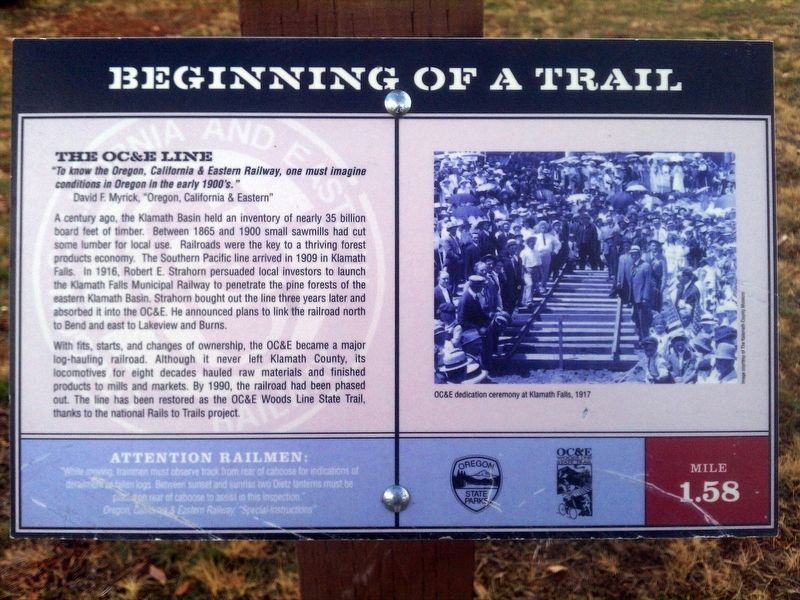
The OC&E Line
David F. Myrick, "Oregon, California & Eastern"
A century ago, the Klamath Basin held an inventory of nearly 35 billion board feet of timber. Between 1865 and 1900 small sawmills had cut some lumber for local use. Railroads were the key to a thriving forest products economy. The Southern Pacific line arrived in 1909 in Klamath Falls. In 1916, Robert E. Strahorn persuaded local investors to launch the Klamath Falls Municipal Railway to penetrate the pine forests for the eastern Klamath Basin. Strahorn bought out the line three years later and absorbed it into the OC&E. He announced plans to link the railroad north to Bend and east to Lakeview and Burns.
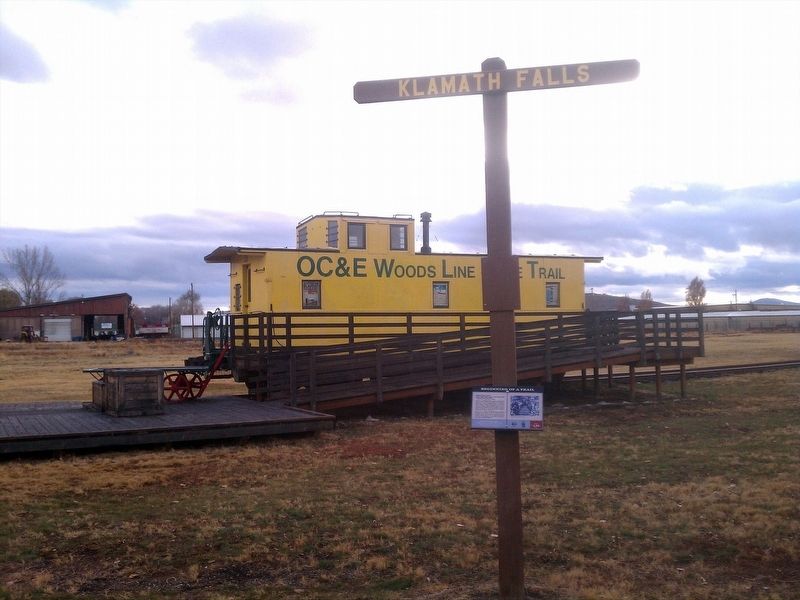
With fits, starts, and changes of ownership, the OC&E became a major log-hauling railroad. Although it never left Klamath County, its locomotives for eight decades hauled raw materials and finished products to mills and markets. By 1900, the railroad had been phased out. The line has been restored as the OC&E Woods Line State Trail, thanks to the national Rails to Trails project.
Erected by Oregon State Parks, OC&E Woodsline State Trail.
Topics. This historical marker is listed in these topic lists: Industry & Commerce • Railroads & Streetcars. A significant historical year for this entry is 1865.
Location. 42° 12.429′ N, 121° 45.054′ W. Marker is in Klamath Falls, Oregon, in Klamath County. Marker is on Oc&E Woods Line State Trail. Touch for map. Marker is in this post office area: Klamath Falls OR 97603, United States of America. Touch for directions.
Other nearby markers. At least 8 other markers are within 2 miles of this marker, measured as the crow flies. Stukel Ranch (approx. ¾ mile away); Van Brimmer Cabin 1864-1928 (approx. 1.9 miles away); This Marks the Road to Topsy Grade (approx. 1.9 miles away); Klamath Falls City Hall (approx. 1.9 miles away); Klamath Falls City Library (approx. 2 miles away); Locomotive 2579 (approx. 2 miles away); Veterans Memorial (approx. 2.1 miles away); Klamath Basin History (approx. 2.1 miles away). Touch for a list and map of all markers in Klamath Falls.
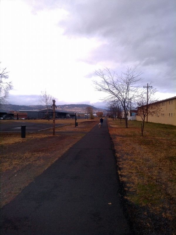
More about this marker. Marker is one of many located along the OC&E Woodsline State Rails to Trail.
Credits. This page was last revised on January 20, 2018. It was originally submitted on January 17, 2018, by Douglass Halvorsen of Klamath Falls, Oregon. This page has been viewed 150 times since then and 8 times this year. Photos: 1, 2, 3, 4. submitted on January 17, 2018, by Douglass Halvorsen of Klamath Falls, Oregon. • Bill Pfingsten was the editor who published this page.


