Jacksonville in Jackson County, Oregon — The American West (Northwest)
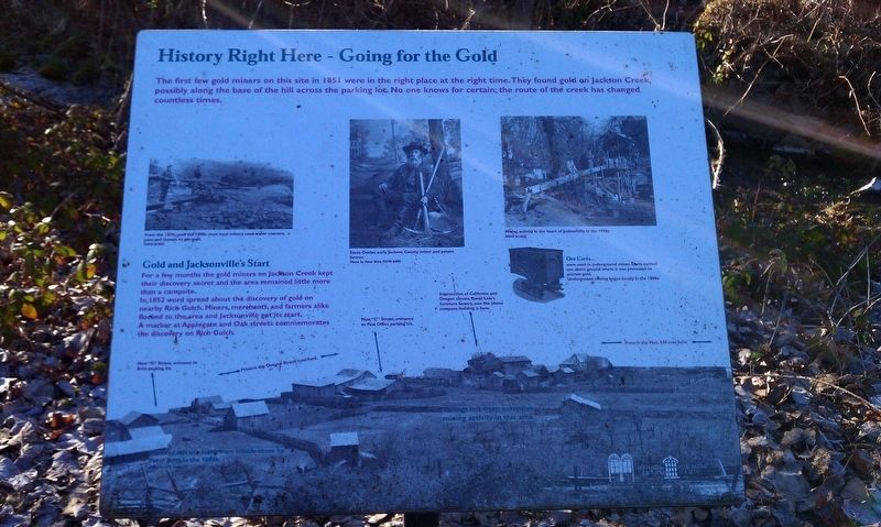
History Right Here - Going for the Gold
Gold and Jacksonville's Start
For a few months the gold miners on Jackson Creek kept their discovery secret and the area remained little more than a campsite.
In 1851 word spread about the discovery of gold on nearby Rich Gulch. Miners, merchants, and farmers alike flocked to the area and Jacksonville got its start. A marker at Applegate and Oak streets commemorates the discovery on Rich Gulch.
Erected by Southern Oregon Historical Society.
Topics. This historical marker is listed in these topic lists: Industry & Commerce • Settlements & Settlers. A significant historical year for this entry is 1851.
Location. 42° 18.938′ N, 122° 58.183′ W. Marker is in Jacksonville, Oregon, in Jackson County. Marker can be reached from West C Street. Touch for map. Marker is in this post office area: Jacksonville OR 97530, United States of America. Touch for directions.
Other nearby markers. At least 8 other markers are within walking distance of this marker. Jacksonville’s Rogue River Valley Railway 1891-1925 (within shouting distance of this marker); Undermining the Great Depression (within shouting distance of this marker); History Right Here - Furniture Fabrication (about 300 feet away, measured in a direct line); World War II Three Trees Memorial (about 400 feet away); Rogue River Valley Railroad Depot (about 400 feet away); Peter Britt: Man of Culture and Commerce (about 400 feet away); History of Local Telephone Service (about 500 feet away); History Right Here - Horse Powers (about 500 feet away). Touch for a list and map of all markers in Jacksonville.
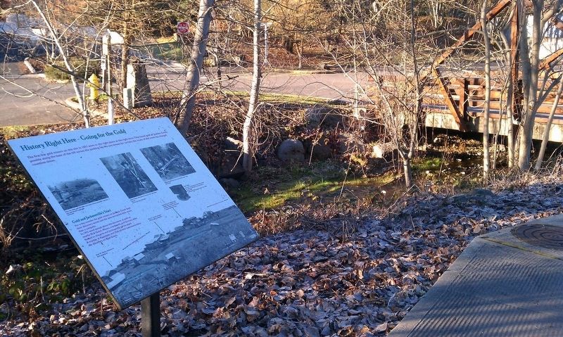
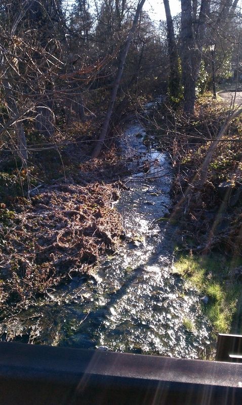
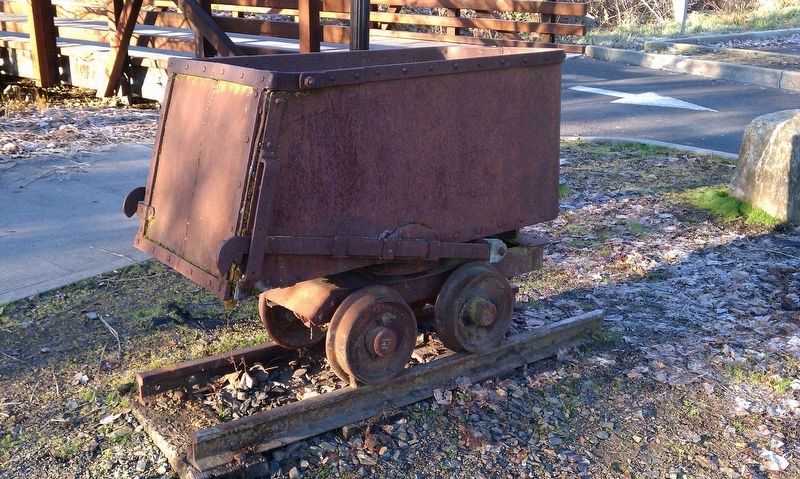
More about this marker. Marker is located in a parking lot by Jackson Creek across the street from the public library.
Related marker. Click here for another marker that is related to this marker.
Credits. This page was last revised on January 20, 2018. It was originally submitted on January 17, 2018, by Douglass Halvorsen of Klamath Falls, Oregon. This page has been viewed 172 times since then and 10 times this year. Photos: 1, 2, 3, 4. submitted on January 17, 2018, by Douglass Halvorsen of Klamath Falls, Oregon. • Bill Pfingsten was the editor who published this page.


