Cottage Grove in Lane County, Oregon — The American West (Northwest)
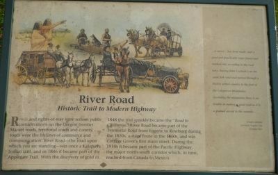
River Road
Historic Trail to Modern Highway
Photographed by Barry Swackhamer, September 22, 2017
1. River Road Marker
...a survey...has been made, and a good and practicable route found and marked out, according to the road laws, leaving John Cochran's on the coast fork said road passed through a thickly settled country to the foot of the Calapooya Mountains.
Ascending the mountains there is no trouble in making a good road as it is a gradual ascent to the summit.... -- Joseph Latshaw, Surveyor, Eugene City, October 1855
Erected by Applegate
this page online
Topics and series. This historical marker is listed in these topic lists: Roads & Vehicles • Settlements & Settlers. In addition, it is included in the Applegate Trail series list.
Location. 43° 47.856′ N, 123° 3.887′ W. Marker is in Cottage Grove, Oregon, in Lane County. It is on North River Road near West Main Street, on the right when traveling north. Touch for map. Marker is at or near this postal address: 19 North River Road, Cottage Grove OR 97424, United States of America. Touch for directions.

Regionally, this marker is in Oregon’s Willamette Valley. It is also on the American Pacific Coast, in the Pacific Northwest, and in the Lewis & Clark Corridor. Globally, it is in North America, in the Cascade Range, on the Ring of Fire, on the Pacific Rim, in the Western Hemisphere, in the Western World, and in the Anglosphere.
Other nearby markers. At least 8 other markers are within walking distance of this marker: The Applegate Trail - Southern Route to Oregon (here, next to this marker); The Changing Trail to Oregon (here, next to this marker);
Photographed by Barry Swackhamer, September 22, 2017
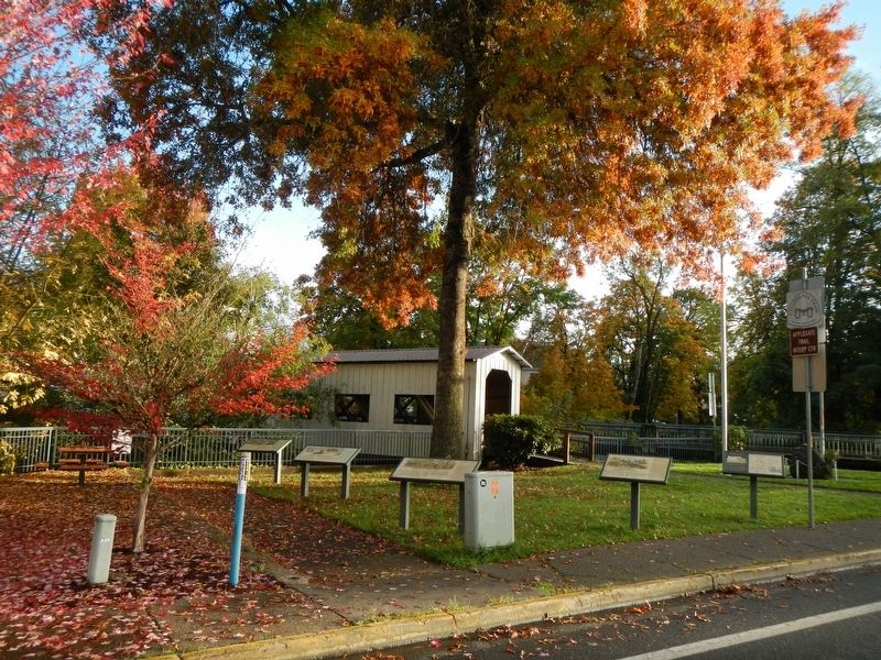
2. River Road Marker
The marker is second from the right.
More about this marker. This marker is located in Veterans Park.
Credits. This page was last revised on January 18, 2018. It was originally submitted on January 18, 2018, by Barry Swackhamer of Brentwood, California. This page has been viewed 569 times since then and 77 times this year. Photos: 1, 2. submitted on January 18, 2018, by Barry Swackhamer of Brentwood, California.
