Cottage Grove in Lane County, Oregon — The American West (Northwest)
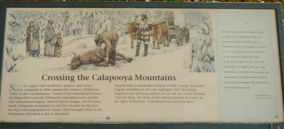
Crossing the Calapooya Mountains
Thomas Holt, a remarkable resident of Polk County, sensed the tragedy unfolding on the new Applegate Trail. Recruiting neighbors and securing supplies, he sent out on a rescue mission. "I feel for them." he wrote of the starving families he found on the upper Willamette, "I am bound to go and assist them."
Provisions gave out and Mr. Pringle set off on horseback to the settlement for relief, not knowing how long he would be away, or whether he would ever get through In a week or so our scanty provisions wee all gone and we were again in a state of starvation.... As the only alternative, or last resort for the present time, Mr. Pringle's eldest son, Clark shot down one of his father's best working oxen and dressed it. It had not a particle of fat on it, but we had something to eat - poor bones to pick without bread or salt. -- Tabetha Moffet Brown, Recollections of 1846
Erected by Applegate Trail Coalition.
Topics and series. This historical marker is listed in these topic lists: Roads & Vehicles • Settlements & Settlers. In addition, it is included in the Applegate Trail series list.
Location. 43° 47.855′ N, 123° 3.886′ W. Marker is in Cottage Grove, Oregon, in Lane County. Marker is on North River Road near West Main Street, on the right when traveling north. Touch for map. Marker is at or near this postal address: 19, Cottage Grove OR 97424, United States of America. Touch for directions.
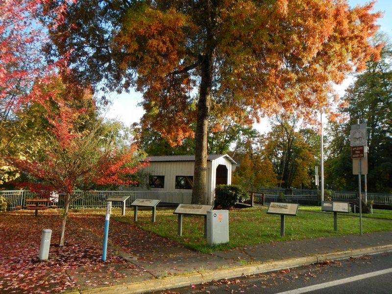
Other nearby markers. At least 8 other markers are within 14 miles of this marker, measured as the crow flies. The Changing Trail to Oregon (here, next to this marker); The Applegate Trail - Southern Route to Oregon (here, next to this marker); A Trail by Any Other Name (here, next to this marker); River Road (here, next to this marker); The Centennial Bridge (within shouting distance of this marker); Cottage Grove Historical Museum (about 600 feet away, measured in a direct line); Elijah Bristow (approx. 13.4 miles away); Bristow Monument (approx. 13.4 miles away). Touch for a list and map of all markers in Cottage Grove.
More about this marker. This marker is located in Veterans Park.
Credits. This page was last revised on January 18, 2018. It was originally submitted on January 18, 2018, by Barry Swackhamer of Brentwood, California. This page has been viewed 189 times since then and 13 times this year. Photos: 1, 2. submitted on January 18, 2018, by Barry Swackhamer of Brentwood, California.

