Near Willamina in Polk County, Oregon — The American West (Northwest)
Policing or Protecting?

Photographed By Barry Swackhamer, September 22, 2017
1. Policing or Protecting? Marker
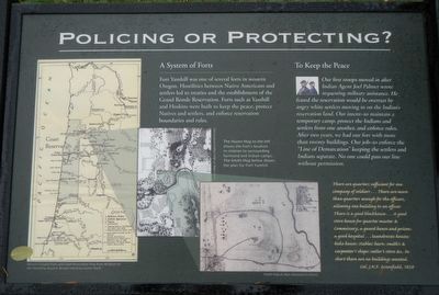
Captions: (map left) Western Oregon Forts and Coast Reservation Map from All Quiet on the Yamhill by Royal A. Bensell; (center and right maps) The Hazen Map to the left shows the Fort's location in relation to surrounding farmland and Indian camps. The Smith Map (1856) below shows the plan of Fort Yamhill.
Fort Yamhill was one of several forts in western Oregon. Hostilities between Native Americans and settlers led to treaties and the establishment of the Grand Ronde Reservation. Forts such as Yamhill and Hoskins were built to keep the peace, protect Natives and settlers, and enforce reservation boundaries and rules.
Our first troops moved in after Indian Agent Joel Palmer wrote requesting military assistance. He feared the reservation would be over by angry white settlers moving in on the Indian's reservation land. Our intent - to maintain a temporary camp, protect the Indians and settlers from one another, and enforce rules. After two years, we had our fort with more than twenty buildings. Our job - to enforce the "Line of Demarcation" keeping the settlers and Indians separate. No one could pass our line without permission.
There are quarters sufficient for one company of soldiers ... There are more than quarters enough for the officers, allowing one building to an officer. There is a good blockhouse ... A good store house for quartermaster & Commissary, a guard house and prison: a good hospital ... laundresses houses: bake house: stables: barn: smith's & carpenter's shops: sutler's store & c. In short there are no buildings wanted. -- Col. J.K.F. Mansfield, 1858
Erected by Oregon State Parks and Confederated Tribes of the Grand Ronde.
Topics. This historical marker is listed in these topic lists: Forts and Castles • Native Americans.
Location. 45° 4.173′ N, 123° 34.226′ W. Marker is near Willamina, Oregon, in Polk County. Marker is on Hebo Road near Three Rivers Highway, on the left when traveling east. Touch for map. Marker is in this post office area: Willamina OR 97396, United States of America. Touch for directions.
Other nearby markers. At least 3 other markers are within 3 miles of this marker, measured as the crow flies. We Greet Settlement … … With Reservations (here, next to this marker); Cross-Cultural Convenience Store (a few steps from this marker); The Grand Ronde Indian Reservation (approx. 2.1 miles away).
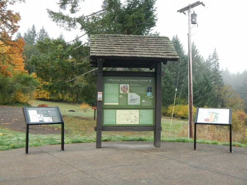
More about this marker. The marker is near the parking lot at Fort Yamhill State Heritage Area.
Also see . . . Fort Yamhill -- Wikipedia. The address of the site is withheld, however the Oregon Parks and Recreation Department runs the undeveloped Fort Yamhill State Heritage Area in partnership with Polk County and the Confederated Tribes of the Grand Ronde. (Submitted on January 19, 2018, by Barry Swackhamer of Brentwood, California.)
Credits. This page was last revised on January 19, 2018. It was originally submitted on January 19, 2018, by Barry Swackhamer of Brentwood, California. This page has been viewed 161 times since then and 14 times this year. Photos: 1, 2. submitted on January 19, 2018, by Barry Swackhamer of Brentwood, California.
