Near Ninety Six in Greenwood County, South Carolina — The American South (South Atlantic)
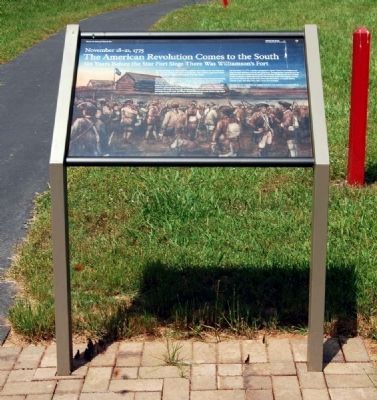
The American Revolution Comes to the South
November 18-21, 1775
— Six Years Before the Star Fort Siege There Was Williamson's Fort —
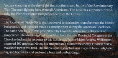
You are standing at the site of the first southern land battle of the Revolutionary War. The men fighting here were all Americans. The Loyalists supported British rule; the Patriots wanted independence from the Crown.
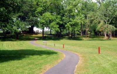
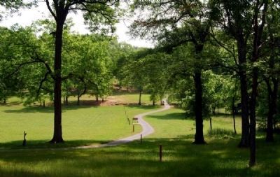
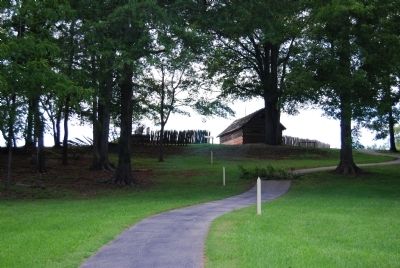
The location of Ninety Six at the junction of several major routes between the interior backcountry and the coast made it a strategic post during the American Revolution. The battle here in 1775 was precipitated by Loyalists, who seized a shipment of gunpowder intended as a gift of friendship from the Provincial Congress to the Cherokee Indians. In response to this hostile act, Patriot Major Andrew Williamson mustered 500 troops at Ninety Six and prepared to meet the enemy. His men built a makeshift fort in this field. The simple square structure was made of fence rails, baled hay, and beef hides and enclosed a barn and outbuildings.
On November 19, 1775, Loyalist commanders Captain Patrick Cunningham and Major Joseph Robinson arrived with 2,000 men. Though greatly outnumbered, the Patriots in the fort would not surrender. Several days of fighting followed, leaving several wounded on both sides and one Patriot dead. James Birmingham was the first Patriot killed in the South in the American Revolution. A Loyalist officer, Captain Luper, also died. Days later a truce was arranged.
The fort you see now is not an original structure but a partial reconstruction of the 1781 Stockade Fort.
Erected 2009 by National Park Service.
Topics. This historical marker is listed in these topic lists: Forts and Castles • Patriots & Patriotism • Settlements & Settlers • War, US Revolutionary. A significant historical month for this entry is November 1772.
Location. 34° 8.671′ N, 82° 1.257′ W. Marker is near Ninety Six, South Carolina, in Greenwood County. Marker can be reached from South Cambridge Street. Touch for map. Marker is in this post office area: Ninety Six SC 29666, United States of America. Touch for directions.
Other nearby markers. At least 10 other markers are within walking distance of this marker. Law and Order in the Carolina Backcountry (a few steps from this marker); Spring Branch (within shouting distance of this marker); Why Did the British Burn Ninety Six? (about 300 feet away, measured in a direct line); Woman and Child (about 300 feet away); Gouedy Trail and Charleston Road (about 400 feet away); Ninety Six (about 400 feet away); Sharpshooter (about 600 feet away); "Light Horse Harry" Lee Takes the Stockade Fort (about 600 feet away); Militiamen (about 600 feet away); The Stockade Fort (about 700 feet away). Touch for a list and map of all markers in Ninety Six.
More about this marker. The current marker is shown in Photo #1.
Also see . . .
1. Ninety Six National Historic Site (U.S. National Park Service). Here settlers struggled against the harsh backcountry to survive, Cherokee Indians hunted and fought to keep their land, two towns and a trading post were formed and abandoned to the elements, and two Revolutionary War battles that claimed over 100 lives took place here. (Submitted on August 20, 2010, by Brian Scott of Anderson, South Carolina.)
2. Ninety Six National Historic Site. Ninety Six National Historic Site, also known as Old Ninety Six and Star Fort, is a United States National Historic Site located about 60 miles (96 kilometers) south of Greenville, South Carolina. (Submitted on August 20, 2010, by Brian Scott of Anderson, South Carolina.)
3. Ninety Six National Historic Site. The historic district of Ninety Six National Historic Site contains numerous historical features associated with the economic and social development of the colonial South Carolina back country. (Submitted on August 20, 2010, by Brian Scott of Anderson, South Carolina.)
Photographed By Brian Scott, September 5, 2008
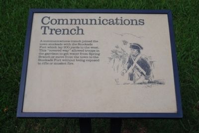
6. Original Communications Trench Marker
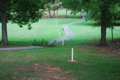
A communications trench joined the town stockade with the Stockade Fort which lay 200 yards to the west. This "covered way" allowed troops in the garrison to get water from Spring Branch or move from the town to the Stockade Fort without being exposed to rifle or musket fire.
Credits. This page was last revised on July 10, 2016. It was originally submitted on September 9, 2008, by Brian Scott of Anderson, South Carolina. This page has been viewed 909 times since then and 16 times this year. Photos: 1, 2, 3, 4, 5. submitted on August 20, 2010, by Brian Scott of Anderson, South Carolina. 6, 7, 8. submitted on September 9, 2008, by Brian Scott of Anderson, South Carolina. • Craig Swain was the editor who published this page.
