Sundance in Crook County, Wyoming — The American West (Mountains)
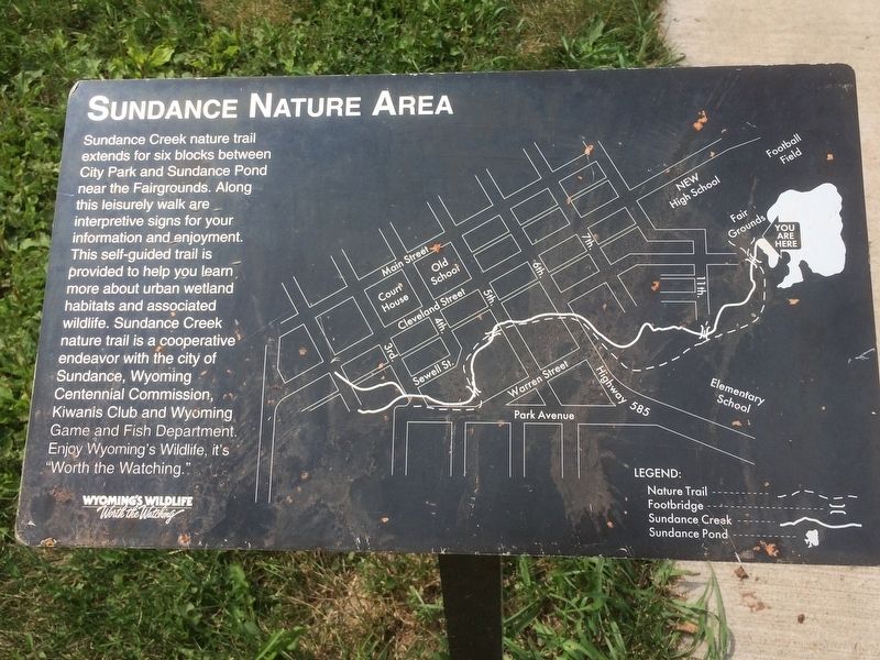
Sundance Nature Area
Photographed by Ruth VanSteenwyk, August 13, 2017
1. Sundance Nature Area Marker
Sundance Creek nature trail extends for six blocks between City Park and Sundance Pond near the Fairgrounds. Along this leisurely walk are interpretive signs for your information and enjoyment. This self-guided trail is provided to help you learn more about urban wetland habitats and associated wildlife. Sundance Creek nature trail is a cooperative endeavor with the city of Sundance, Wyoming Centennial Commission, Kiwanis Club and Wyoming Game and Fish Department. Enjoy Wyoming's Wildlife, it's "Worth the Watching."
Topics. This historical marker is listed in this topic list: Parks & Recreational Areas.
Location. 44° 24.385′ N, 104° 22.14′ W. Marker is in Sundance, Wyoming, in Crook County. It is on Fairground Loop Rd. Marker is located in the Sundance City Park off Fairground Loop Rd. Touch for map. Marker is in this post office area: Sundance WY 82729, United States of America. Touch for directions.

Regionally, this marker is in the Powder River Basin. It is also in the American Mountain West, in the Black Hills, on the Great Plains, on the Northern Plains, and
this page online
Other nearby markers. At least 8 other markers are within 12 miles of this marker, measured as the crow flies: The "Sundance Kid" (approx. half a mile away); Crook County (approx. 1½ miles away); Custer Expedition (approx. 1½ miles away); Black Hills (approx. 1½ miles away); Watching the Heavens and Earth (approx. 6.1 miles away); Inyan Kara Methodist Episcopal Church (approx. 9.7 miles away); Matthew S. Driskill (approx. 11.6 miles away); The Custer Trail (approx. 11.6 miles away). Touch for a list and map of all markers in Sundance.
Photographed by Ruth VanSteenwyk, August 13, 2017
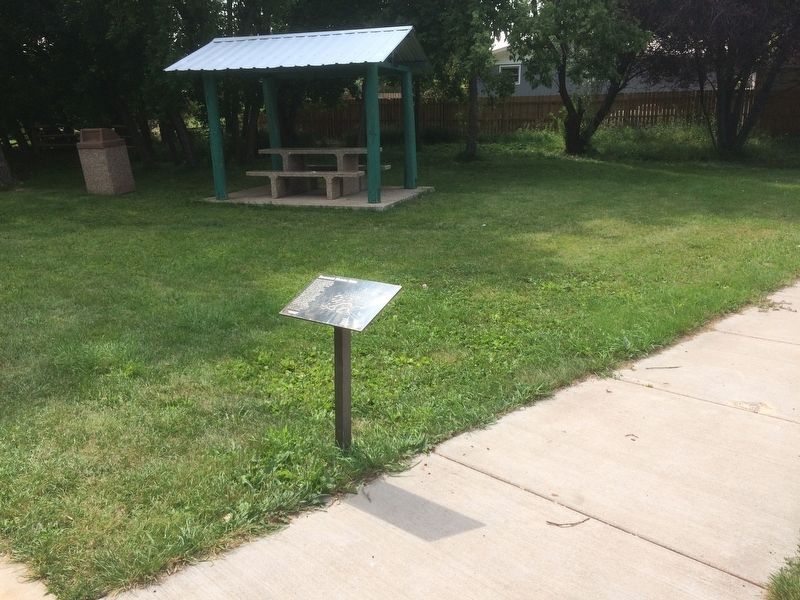
2. Sundance Nature Area Marker
Credits. This page was last revised on January 24, 2018. It was originally submitted on January 21, 2018, by Ruth VanSteenwyk of Aberdeen, South Dakota. This page has been viewed 386 times since then and 30 times this year. Photos: 1, 2. submitted on January 21, 2018, by Ruth VanSteenwyk of Aberdeen, South Dakota. • Bill Pfingsten was the editor who published this page.
