Ehrhardt in Bamberg County, South Carolina — The American South (South Atlantic)
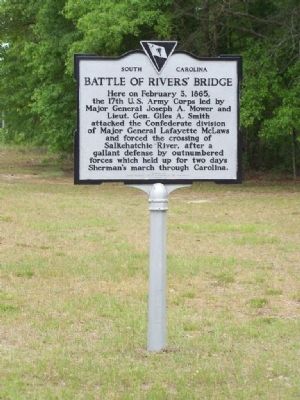
Battle Of Rivers’ Bridge
Erected 1967 by (Originally ) Edisto District, United Daughters Of The Confederacy. (Marker Number 5-1.)
Topics and series. This historical marker is listed in this topic list: War, US Civil. In addition, it is included in the United Daughters of the Confederacy series list. A significant historical date for this entry is February 3, 1865.
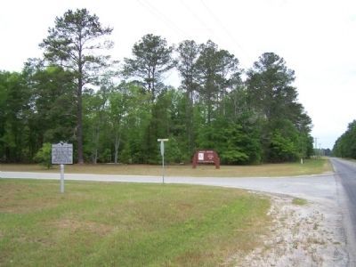
Location. 33° 3.88′ N, 81° 5.57′ W. Marker is in Ehrhardt, South Carolina, in Bamberg County. Marker is at the intersection of State Highway 5-31 and State Highway 5-8, on the left when traveling west on State Highway 5-31. Off SC 641, 7mi. S.W. of Ehrhardt and 13mi. E. of Allendale, SC near the north entrance to Rivers Bridge State Park. (Marker may have previously been located at Battlefield site). Touch for map. Marker is in this post office area: Ehrhardt SC 29081, United States of America. Touch for directions.
Other nearby markers. At least 8 other markers are within walking distance of this marker. Bamberg County (approx. 0.2 miles away); Rivers Bridge State Historic Site (approx. ¼ mile away); Rivers Bridge Confederate Dead (approx. 0.3 miles away); Our Confederate Dead (approx. 0.3 miles away); Four County WW II Memorial (approx. 0.3 miles away); A Tradition of Remembering, A Legacy of Preservation (approx. 0.3 miles away); Colleton County Confederate Soldiers (approx. 0.3 miles away); Battle of Rivers' Bridge (approx. 0.9 miles away). Touch for a list and map of all markers in Ehrhardt.
More about this marker. Battle of Rivers Bridge, Located at Rivers Bridge State Historic Site near Ehrhardt. Listed on the National Register. Here Confederate soldiers defended the Salkehatchie River for two days before being forced out of their breastworks. This battle was the only major resistance encountered by Sherman's army.
Regarding Battle Of Rivers’ Bridge. Other Names: Salkehatchie River, Hickory Hill, Owens' Crossroads, Lawtonville, Duck Creek
Also see . . .
1. Battle Of Rivers' Bridge. Lawtonville, South Carolina February 3, 1865 historically not a large battle (Submitted on April 28, 2008, by Mike Stroud of Bluffton, South Carolina.)
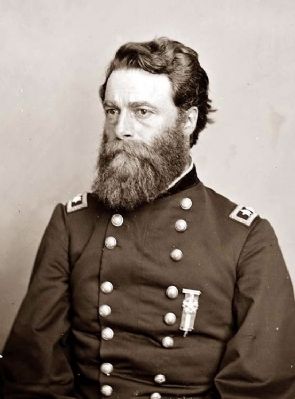
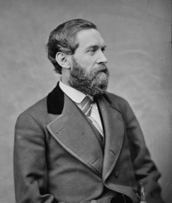
2. Joseph Anthony Mower
. William T. Sherman said of Mower, "he's the boldest young officer we have". (Submitted on April 28, 2008, by Mike Stroud of Bluffton, South Carolina.)
3. Gen. Giles A. Smith. He took part in the Atlanta Campaign, the March to the Sea and the Carolinas Campaign, rising to the rank of major general of volunteers. (Submitted on April 28, 2008, by Mike Stroud of Bluffton, South Carolina.)
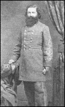
4. Lafayette McLaws. he was sent to Georgia to defend (unsuccessfully) Savannah against Maj. Gen. William T. Sherman's March to the Sea. McLaws surrendered with Gen. Joseph E. Johnston's army in North Carolina on April 26, 1865. (Submitted on April 28, 2008, by Mike Stroud of Bluffton, South Carolina.)
5. National Register Information on Rivers Bridge State Park. As General William T. Sherman’s army advanced into South Carolina from Savannah, the Confederate Army was able to offer up little resistance and eventually fell back to Rivers Bridge by February 2, 1865. (Submitted on September 18, 2008, by Brian Scott of Anderson, South Carolina.)
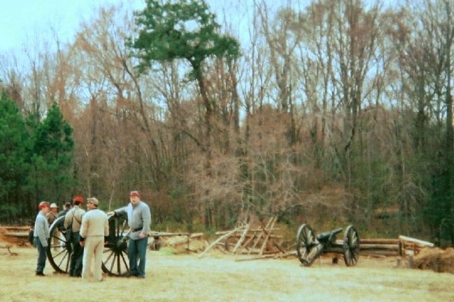
Photographed By Eddie Hightower, February 2007
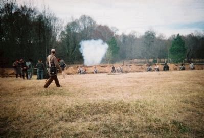
6. Battle of Rivers Bridge Reenactment -- 2007
Since 1965, The Battle of Rivers Bridge has been the subject of an annual reenactment of the battle which is primarily sponsored by the Rivers Bridge SCV Camp 842 of Sycamore, S.C., with the help of several Confederate re-enactor groups from both South Carolina and Georgia—the two Southern States who provided most the brave defenders in the original battle.
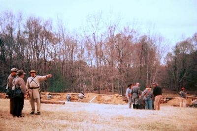
Photographed By Eddie Hightower, February 2007
7. Battle Of Rivers' Bridge Marker
At the actual battle of Rivers Bridge, the Confederate troops attempted to hold the higher ground from the invading Union troops who were fighting their way through the Salkehatchie River Swamp. This photo is of the annual reenactment of the Battle of Rivers Bridge on the site of some of that military action.
Credits. This page was last revised on June 16, 2016. It was originally submitted on April 28, 2008, by Mike Stroud of Bluffton, South Carolina. This page has been viewed 3,406 times since then and 50 times this year. Last updated on September 10, 2008, by Mike Stroud of Bluffton, South Carolina. Photos: 1, 2, 3, 4, 5. submitted on April 28, 2008, by Mike Stroud of Bluffton, South Carolina. 6, 7, 8. submitted on July 17, 2008, by Eddie Hightower of Branchville, South Carolina. • Kevin W. was the editor who published this page.
