Near Corbett in Multnomah County, Oregon — The American West (Northwest)
Tad's Chicken 'N Dumplin's
Photographed by Cosmos Mariner, July 12, 2015
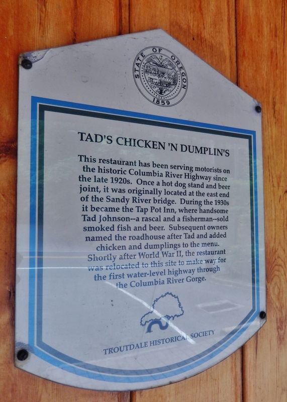
1. Tad's Chicken 'N Dumplin's Marker
This restaurant has been serving motorists on the historic Columbia River Highway since the late 1920s. Once a hot dog stand and beer joint, it was originally located at the east end of the Sandy River Bridge. During the 1930s it became the Tap Pot Inn, where handsome Tad Johnson – a rascal and a fisherman – sold smoked fish and beer. Subsequent owners named the roadhouse after Tad and added chicken and dumplings to the menu.
Shortly after World War II, the restaurant was relocated to this site to make way for the first water-level highway through the Columbia River Gorge.
Erected by Troutdale Historic Society.
Topics. This historical marker is listed in this topic list: Industry & Commerce.
Location. 45° 32.076′ N, 122° 22.284′ W. Marker is near Corbett, Oregon, in Multnomah County. It is on Historic Columbia River Highway north of SE Thompson Road, on the left when traveling north. Marker is mounted at eye-level on the front wall, near the entrance to the subject building. Touch for map. Marker is at or near this postal address: 1325 Historic
this page online

Regionally, this marker is in the Columbia River Gorge, in the Willamette Valley, and in Greater Portland Area. It is also on the American Pacific Coast, in the Pacific Northwest, and in the Lewis & Clark Corridor. Globally, it is in North America, on the Ring of Fire, on the Pacific Rim, in the Western Hemisphere, in the Western World, and in the Anglosphere.
Other nearby markers. At least 8 other markers are within 5 miles of this marker, measured as the crow flies: Sandy River Bridge (approx. 0.3 miles away); Captain William Clark Park (approx. 2.8 miles away in Washington); William R. Broughton R.N. (approx. 3 miles away in Washington); Stocking the Pantry (approx. 3 miles away in Washington); Corbett (approx. 3.8 miles away); Camas-Washougal War Memorial (approx. 3.9 miles away in Washington); Crown Zellerbach Employee World War II Memorial (approx. 4 miles away in Washington); The First School in Camas (approx. 4.2 miles away in Washington).
Photographed by Cosmos Mariner, July 12, 2015
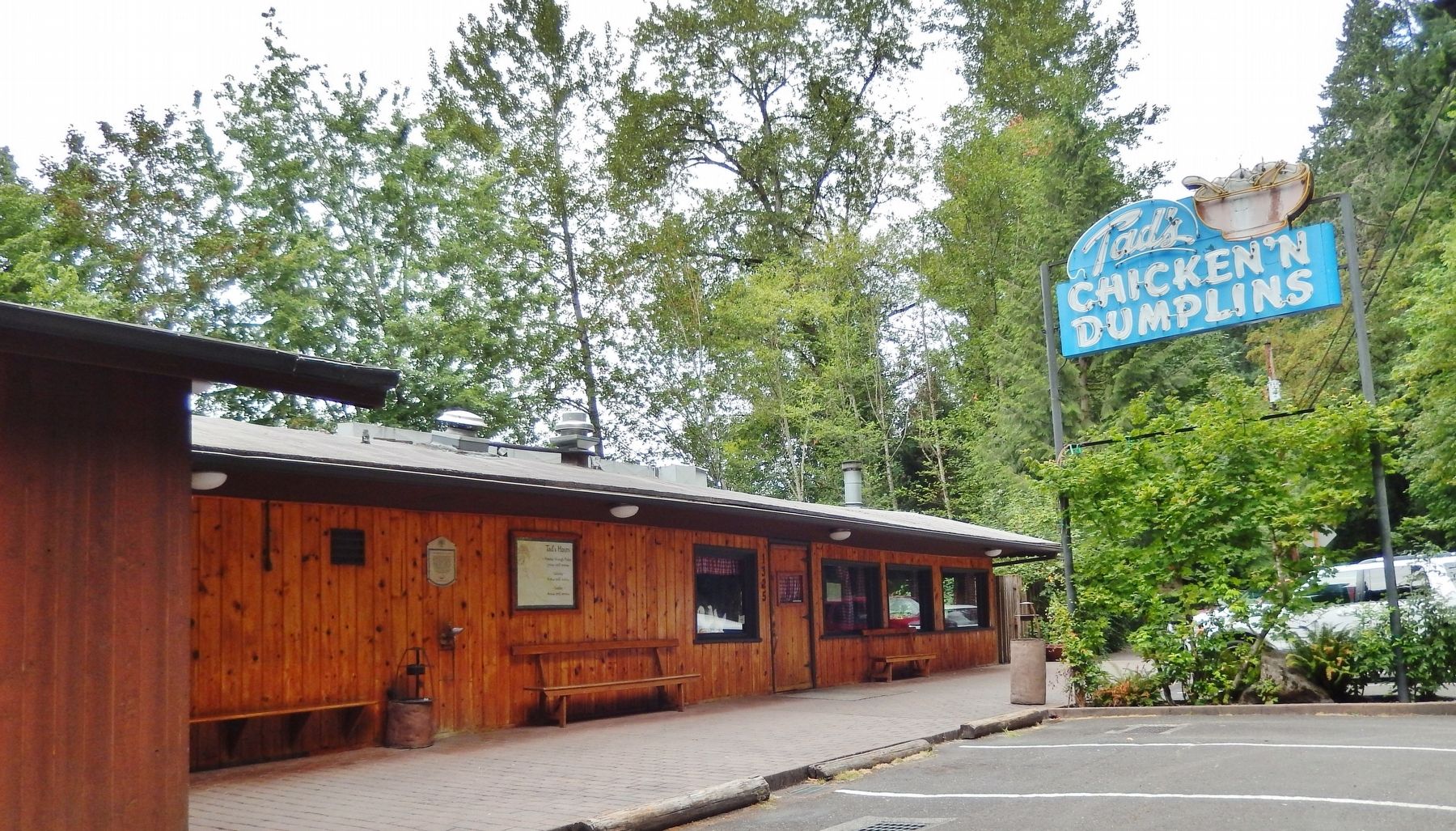
2. Tad's Chicken 'N Dumplin's Marker (wide view; marker visible on wall)
Credits. This page was last revised on January 8, 2022. It was originally submitted on January 24, 2018, by Cosmos Mariner of Cape Canaveral, Florida. This page has been viewed 1,224 times since then and 101 times this year. Photos: 1, 2. submitted on January 24, 2018, by Cosmos Mariner of Cape Canaveral, Florida. • Andrew Ruppenstein was the editor who published this page.
