
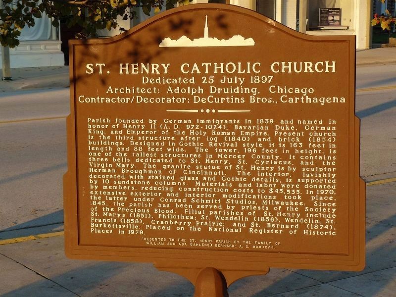
St. Henry Catholic Church
Dedicated 25 July 1897
| — | In the “Land of the Cross-Tipped Churches” | — |
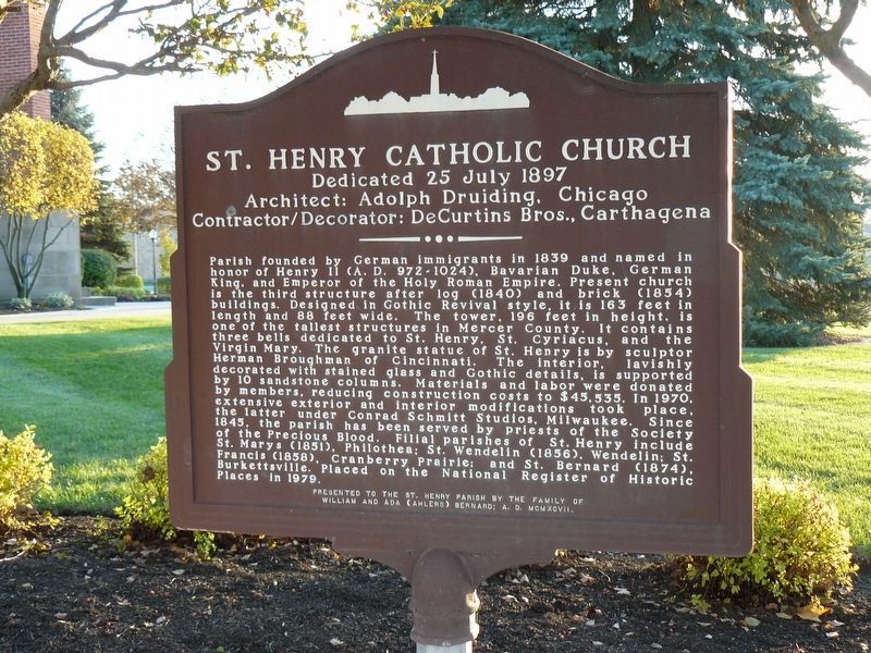
Architect: Adolph Druiding, Chicago
Contractor/Decorator: DeCurtins Bros., Carthagena
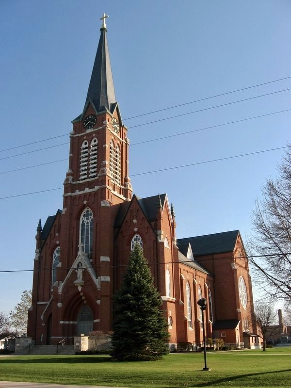
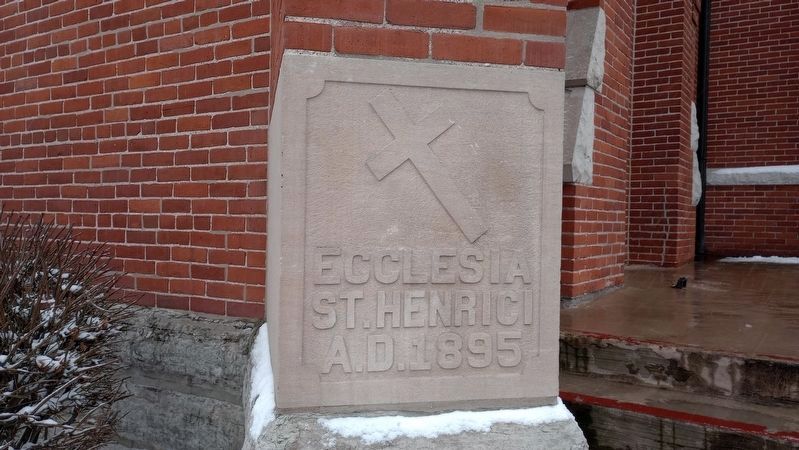
Parish founded by German immigrants in 1839 and named in honor of Henry II (A.D. 972-1024), Bavarian Duke, King, and Emperor of the Holy Roman Empire. Present church is the third structure after log (1840) and brick (1854) buildings. Designed in Gothic Revival style, it is 163 feet in length and 88 feet wide. The tower, 196 feet in height, is one of the tallest structures in Mercer County. It contains three bells dedicated to St. Henry, St. Cyriacus, and the Virgin Mary. The granite statue of St. Henry is by sculptor Herman Broughman of Cincinnati. The interior, lavishly decorated with stained glass and Gothic details, is supported by 10 sandstone columns. Materials and labor were donated by members, reducing construction costs to $45,535. In 1970, extensive exterior and interior modifications took place, the latter under Conrad Schmitt Studios, Milwaukee. Since 1845, the parish has been served by priests of the Society of the Precious Blood. Filial parishes of St. Henry include St. Marys (1851), Philothea; St. Wendelin (1856), Wendelin:
this page online
Presented to the St. Henry Parish by the family of William and Ada (Ahlers) Bernard; A. D. MCMXCVII
Erected 1997 by Family of William and Ada (Ahlers) Bernard; Church Silhouette by Carolyn Von Stein.
Topics. This historical marker is listed in these topic lists: Architecture • Religion & Religious Structures • Settlements & Settlers. A significant historical date for this entry is July 24, 1897.
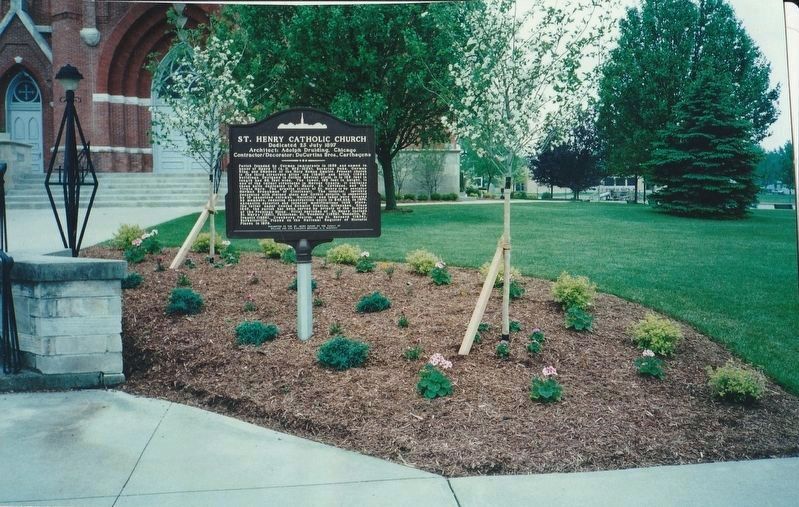
Location. 40° 25.059′ N, 84° 38.25′ W. Marker is in Saint Henry, Ohio, in Mercer County. It is at the intersection of East Main Street (Ohio Route 119) and South Walnut Street, on the right when traveling east on East Main Street. In front of St. Henry Catholic Church. Touch for map. Marker is at or near this postal address: 272 E Main Street, Saint Henry OH 45883, United States of America. Touch for directions.
Regionally, this marker is in Ohio’s Till Plains. It is also in the American Midwest and in the Corn Belt. Globally, it is in North America, the Western Hemisphere, the Western
Other nearby markers. At least 8 other markers are within 4 miles of this marker, measured as the crow flies: Arthur "Artie" Bernard (within shouting distance of this marker); Saint Henry, Ohio (within shouting distance of this marker); Veterans Memorial (within shouting distance of this marker); a different marker also named Veterans Memorial (within shouting distance of this marker); a different marker also named Veterans Memorial (approx. 2.7 miles away); Saint Wendelin Cemetery Veterans Memorial (approx. 3.1 miles away); The Cranberry Prairie (approx. 3.4 miles away); St. Francis Catholic Church (approx. 3.4 miles away). Touch for a list and map of all markers in Saint Henry.
Credits. This page was last revised on January 12, 2024. It was originally submitted on December 11, 2017, by Allen W. Bernard of Cincinnati, Oh 45202-1736. This page has been viewed 1,003 times since then and 57 times this year. Last updated on January 24, 2018, by Allen W. Bernard of Cincinnati, Oh 45202-1736. Photos: 1, 2, 3. submitted on December 11, 2017, by Allen W. Bernard of Cincinnati, Oh 45202-1736. 4. submitted on December 14, 2017. 5. submitted on January 8, 2024, by Craig Doda of Napoleon, Ohio. • Bill Pfingsten was the editor who published this page.
