Gold Beach in Curry County, Oregon — The American West (Northwest)
Cape San Sebastian
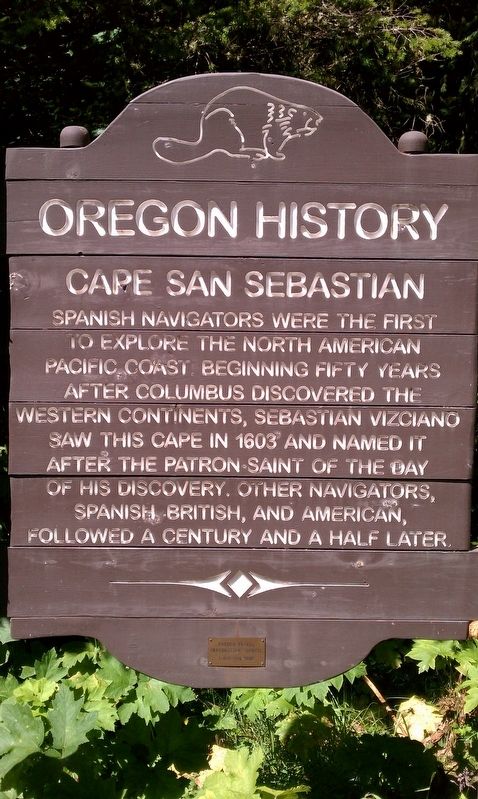
Photographed by Douglass Halvorsen, September 1, 2012
1. Cape San Sebastian Marker
Erected by Oregon Travel Experience.
Topics and series. This historical marker is listed in this topic list: Exploration. In addition, it is included in the Oregon Beaver Boards series list.
Location. 42° 20.039′ N, 124° 25.108′ W. Marker is in Gold Beach, Oregon, in Curry County. It is on Oregon Coast Hwy (U.S. 101), on the left when traveling north. Touch for map. Marker is in this post office area: Gold Beach OR 97444, United States of America. Touch for directions.

Regionally, this marker is in Southern Oregon and specifically on the Oregon Coast. It is also on the American Pacific Coast, in the Pacific Northwest, and in the Lewis & Clark Corridor. Globally, it is in North America, in the Cascade Range, on the Ring of Fire, on the Pacific Rim, in the Western Hemisphere, in the Western World, and in the Anglosphere. Historically, it finds itself in what was once New Spain.
Other nearby markers. At least 7 other markers are within 11 miles of this marker, measured as the crow flies: Oregon Geology: Cape Sebastian (within shouting distance of this marker); Gold Beach Ranger Station (approx. 4.7 miles away); Gold Beach (approx. 5.7 miles away); Patterson Bridge (approx. 6.1 miles away); Mary D. Hume (approx. 6.1 miles away); First Fish Hatchery in Oregon (approx. 6.6 miles away); Memorial (approx. 10.3 miles away). Touch for a list and map of all markers in Gold Beach.
Another marker is no
this page online

Photographed by Douglass Halvorsen, September 1, 2012
2. Cape San Sebastian Marker
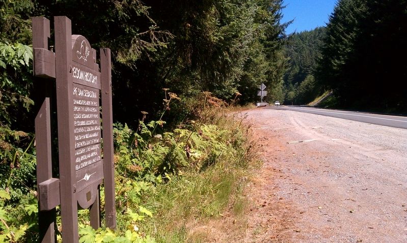
Photographed by Douglass Halvorsen, September 1, 2012
3. Cape San Sebastian Marker
Credits. This page was last revised on January 27, 2018. It was originally submitted on January 25, 2018, by Douglass Halvorsen of Klamath Falls, Oregon. This page has been viewed 544 times since then and 99 times this year. Photos: 1, 2, 3. submitted on January 25, 2018, by Douglass Halvorsen of Klamath Falls, Oregon. • Andrew Ruppenstein was the editor who published this page.
