Valle de Bravo, Mexico State, Mexico — The Central Highlands (North America)
Valle de Bravo in the Mexican-American War
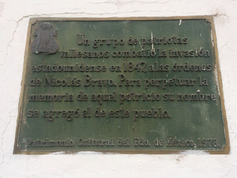
Inscription.
Un grupo de patriotas vallesanos combatió la invasión estadounidense en 1847, a las órdenes de Nicolás Bravo. Para perpetuar la memoria de aquel patricio su nombre se agregó al de este pueblo.
Patrimonio Cultural del Edo. de México, 1978.
A group of patriots from Valle de Bravo fought the American invasion in 1847, under the command of Nicolás Bravo. To perpetuate the memory of that patrician, his name was added to that of this town.
Cultural Heritage of the State of Mexico, 1978.
Erected 1978 by Patrimonio Cultural del Estado de México.
Topics. This historical marker is listed in this topic list: War, Mexican-American. A significant historical year for this entry is 1847.
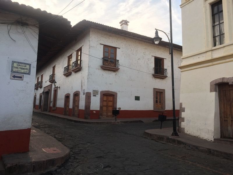
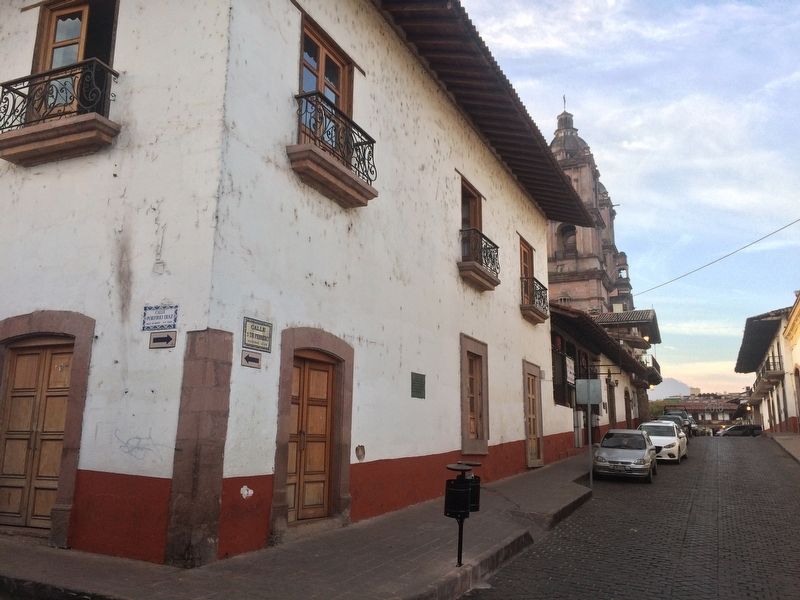
Location. 19° 11.689′ N, 100° 7.895′ W. Marker is in Valle de Bravo, Estado de Mexico (Mexico State). Marker is at the intersection of Avenida 5 de Febrero and Calle Porfirio Díaz, on the right when traveling north on Avenida 5 de Febrero. Touch for map. Marker is in this post office area: Valle de Bravo MEX 51200, Mexico. Touch for directions.
Other nearby markers. At least 8 other markers are within walking distance of this marker. The Name of Valle de Bravo (within shouting distance of this marker); The Mexican Constitution of 1857 (within shouting distance of this marker); José Castillo y Piña (about 90 meters away, measured in a direct line); Juan de Jesús Herrera y Piña (about 90 meters away); Nicolás Bravo (about 90 meters away); Pedro Velázquez H. (about 120 meters away); Villagrán Street (about 120 meters away); Coliseum Street (about 180 meters away). Touch for a list and map of all markers in Valle de Bravo.
Regarding Valle de Bravo in the Mexican-American War. Nicolás Bravo was the 11th President of Mexico. During the Mexican-American War he raised troops from here and fought against the United States in the Battle of Chapultepec. On September 13, 1847, he was taken prisoner. The town, then known as Valle ("the Valley") was named Valle de Bravo in his honor.
Credits. This page was last revised on February 2, 2018. It was originally submitted on January 27, 2018, by J. Makali Bruton of Accra, Ghana. This page has been viewed 186 times since then and 7 times this year. Photos: 1, 2, 3. submitted on January 27, 2018, by J. Makali Bruton of Accra, Ghana.


