Metolius in Jefferson County, Oregon — The American West (Northwest)
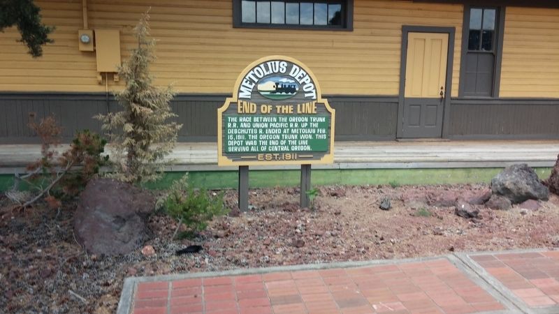
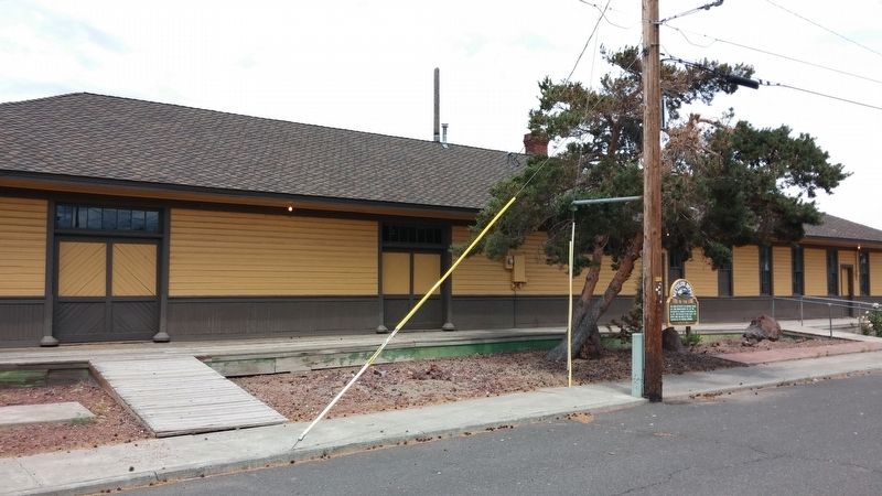
Metolius Depot
End of the Line
Topics. This historical marker is listed in this topic list: Railroads & Streetcars. A significant historical date for this entry is February 15, 1911.
Location. 44° 35.24′ N, 121° 10.72′ W. Marker is in Metolius, Oregon, in Jefferson County. Marker is at the intersection of Washington Ave and SW 6th St, on the right when traveling south on Washington Ave. Touch for map. Marker is in this post office area: Madras OR 97741, United States of America. Touch for directions.
Other nearby markers. At least 8 other markers are within 14 miles of this marker, measured as the crow flies. Jefferson County War Memorial (approx. 3.9 miles away); The Old Jefferson County Jail (approx. 4.1 miles away); Veteran War Memorial Plaza (approx. 5˝ miles away); Colonel Rex T. Barber Memorial (approx. 13˝ miles away); A Bridge for the New Millenium (approx. 13˝ miles away); Oregon Scenic Highways (approx. 13˝ miles away); Peter Skene Ogden Park (approx. 13˝ miles away); The Crooked River (High) Bridge (approx. 13˝ miles away).
Credits. This page was last revised on January 27, 2018. It was originally submitted on January 27, 2018, by Douglass Halvorsen of Klamath Falls, Oregon. This page has been viewed 240 times since then and 46 times this year. Photos: 1, 2. submitted on January 27, 2018, by Douglass Halvorsen of Klamath Falls, Oregon. • Andrew Ruppenstein was the editor who published this page.

