Georgetown in Northwest Washington in Washington, District of Columbia — The American Northeast (Mid-Atlantic)
History Preserved and Adapted
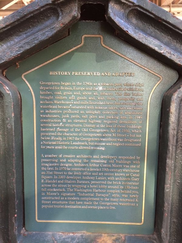
Georgetown began in the 1740s as a tobacco port, where ships departed for Britain, Europe and the West Indies filled with flour, lumber, coal, grain and, above all, tobacco. The fine harbor brought visitors and goods and, with them, prosperity and acclaim. Warehouses and mills flourished here, but eventually the waterfront became saturated with noxious odors, soot and waste as industries produced an unsightly collection of abandoned warehouses, junk yards, salt piles and parking lots. In 1949 construction of an elevated highway required demolition of several historic structures. Dismay at the loss of these buildings hastened passage of the Old Georgetown Act of 1950, which preserved the character of Georgetown above M Street - but not below. Finally, in 1967 the Georgetown waterfront was designated a National Historical Landmark, but misuse and neglect continued for years until the courts allowed rezoning.
A number of creative architects and developers responded by preserving and adapting the remaining old buildings with imaginative designs. Architect Arthur Cotton Moore was one of the first. In 1970 he converted a derelict 19th-century warehouse on 31st Street to the lively office and art center known as Canal Square. In 2003 developer Anthony Lanier, with architects Gary F. Handel and Shalom Baranes, preserved the brick incinerator across the street by wrapping a hotel lobby around its 130-foot-tall smokestack. The Washington Harbour complex behind you, constructed as a modern complement to the many restored K Street structures that have made the Georgetown waterfront a popular tourist destination and scenic place to live.
Erected by Cultural Tourism DC.
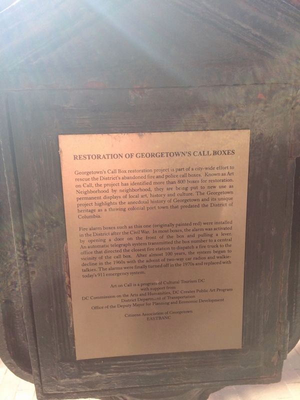
Topics and series. This historical marker is listed in these topic lists: Architecture • Industry & Commerce. In addition, it is included in the DC, Art on Call series list. A significant historical year for this entry is 1740.
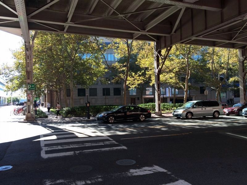
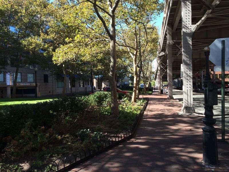
Location. 38° 54.143′ N, 77° 3.55′ W. Marker is in Northwest Washington in Washington, District of Columbia. It is in Georgetown. Marker is at the intersection of K Street Northwest and 30th Street Northwest, on the right when traveling east on K Street Northwest. Touch for map. Marker is at or near this postal address: 1025 Thomas Jefferson Street Northwest, Washington DC 20007, United States of America. Touch for directions.
Other nearby markers. At least 8 other markers are within walking distance of this marker. The Duvall Foundry (about 600 feet away, measured in a direct line); Herring Highway (about 600 feet away); Benjamin Banneker and Suter's Tavern (about 700 feet away); Georgetown Historic District (about 700 feet away); William O. Douglas (about 700 feet away); Mule Power
Credits. This page was last revised on January 30, 2023. It was originally submitted on October 20, 2016, by J. Makali Bruton of Accra, Ghana. This page has been viewed 327 times since then and 19 times this year. Last updated on January 27, 2018, by Devry Becker Jones of Washington, District of Columbia. Photos: 1. submitted on October 20, 2016, by J. Makali Bruton of Accra, Ghana. 2. submitted on January 27, 2018, by Devry Becker Jones of Washington, District of Columbia. 3, 4. submitted on October 20, 2016, by J. Makali Bruton of Accra, Ghana.


