Southwestern Sacramento in Sacramento County, California — The American West (Pacific Coastal)
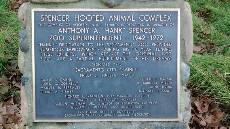
Spencer Hoofed Animal Complex
Anthony A. “Hank” Spencer
Zoo Superintendent – 1942 – 1972
Sacramento City Council
Philip L. Isenberg, Mayor
Richard L Rathfon, City Manager, to 3-1-76 • Walter J. Slipe, City Manager • Solon Wisham, Jr., Director of Recreation and Parks • William E. Meeker, Zoo Superintendent
This plaque has been donated by Sacramento Valley Veterinary Medical Association
Erected 1976 by Sacramento City Council.
Topics. This historical marker is listed in these topic lists: Animals • Parks & Recreational Areas. A significant historical year for this entry is 1976.
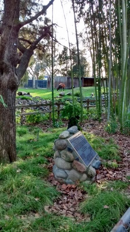
Location. 38° 32.3′ N, 121° 30.233′ W. Marker is in Sacramento, California, in Sacramento County. It is in Southwestern Sacramento. Marker can be reached from West Land Park Drive. Marker is located in the southwest area of the Sacramento Zoo, on the westernmost path. Touch for map. Marker is at or near this postal address: 3930 West Land Park Drive, Sacramento CA 95822, United States of America. Touch for directions.
Other nearby markers. At least 8 other markers are within 2 miles of this marker, measured as the crow flies. Camp Union Sutterville (within shouting distance of this marker); Sutterville Brewery (about 300 feet away, measured in a direct line); Memorial Grove (approx. half a mile away); Sacramento County WW I Veterans Memorial (approx. 0.6 miles away); 1972 Sacramento Canadair Sabre Accident Memorial (approx. 1.2 miles away); Petrovich Family Playfields (approx. 1.2 miles away); 4th Avenue / Wayne Hultgren Light Rail Station (approx. 1.3 miles away); U.S.S. Maine (approx. 1˝ miles away). Touch for a list and map of all markers in Sacramento.
Credits. This page was last revised on February 7, 2023. It was originally submitted on January 28, 2018, by Lane Parker of San Francisco, California. This page has been viewed 261 times since then and 52 times this year. Photos: 1, 2. submitted on January 28, 2018, by Lane Parker of San Francisco, California. • Syd Whittle was the editor who published this page.

