Near Astoria in Clatsop County, Oregon — The American West (Northwest)
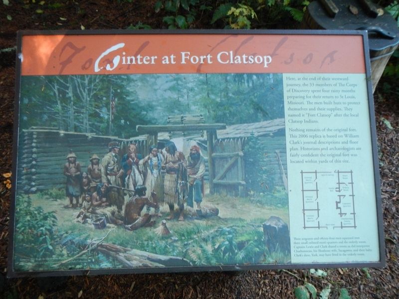
Winter at Fort Clatsop
Photographed By Barry Swackhamer, September 22, 2017
1. Winter at Fort Clatsop Marker
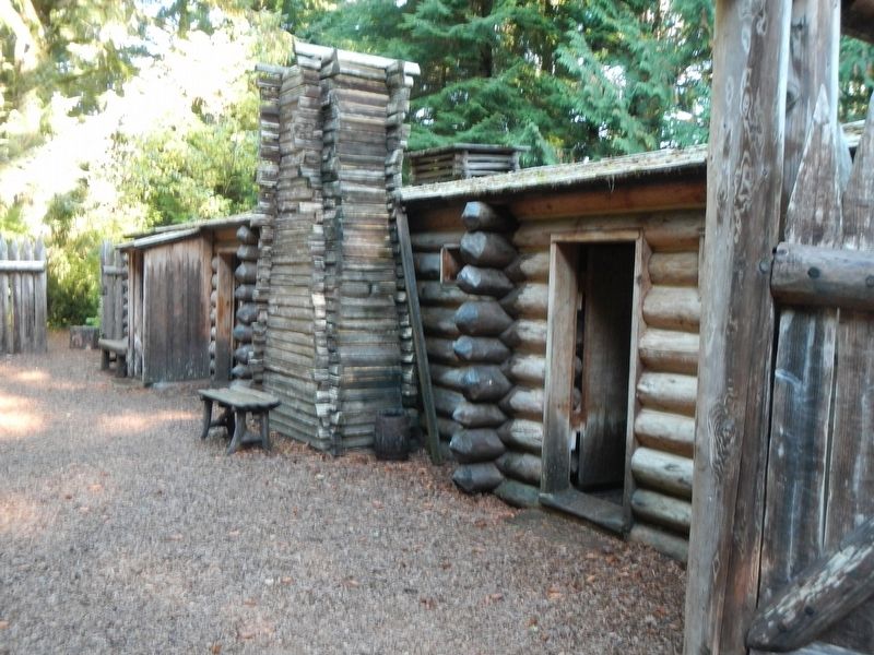
Caption: (bottom right) Three sergeants and twenty-four men squeezed into three small enlisted men's quarters and the orderly room. Captains Lewis and Clark shared a room; as did interpreter Charbonneau, his Shoshone wife, Sacagawea, and their baby. Clark's slave, York, may have lived in the orderly room.
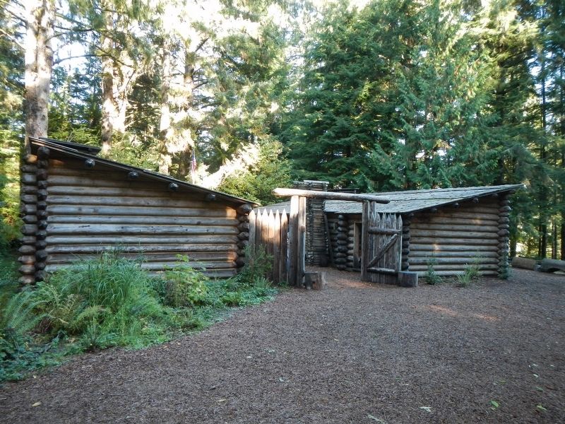
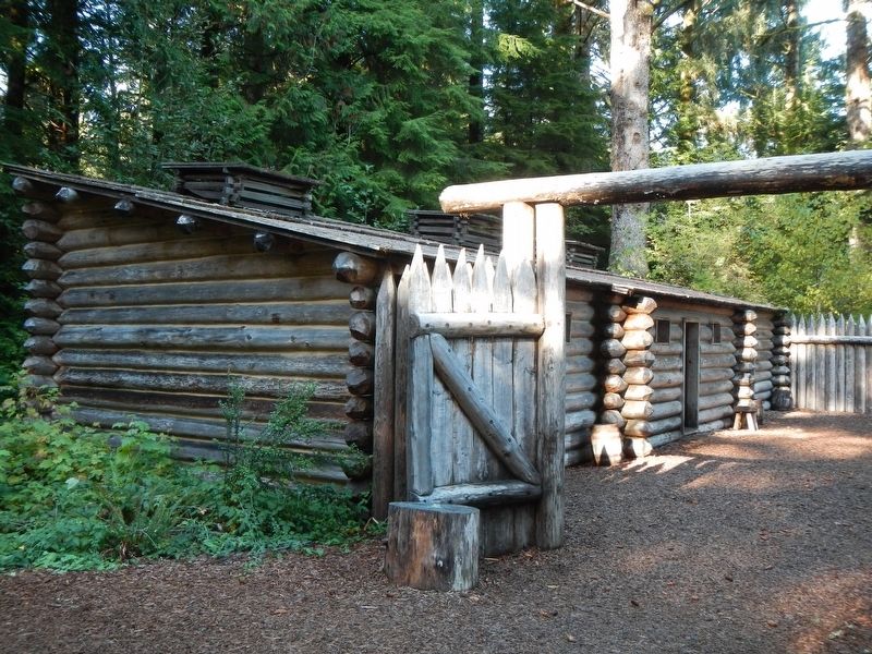
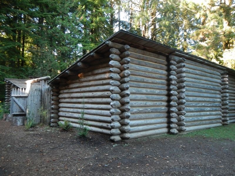
Nothing remains of the original fort. This 2006 replica is based on William Clark's journal descriptions and floor plan. Historians and archaeologists are fairly confident the original fort was located with in yards of this site.
Erected by National Park Service.
Topics and series. This historical marker is listed in these topic lists: Exploration • Forts and Castles. In addition, it is included in the Lewis & Clark Expedition series list.
Location. 46° 8.04′ N, 123° 52.762′ W. Marker is near Astoria, Oregon, in Clatsop County. Marker can be reached from Fort Clatsop Road near Business U.S. 101. Touch for map. Marker is at or near this postal address: 92345 Fort Clatsop Road, Astoria OR 97103, United States of America. Touch for directions.
Other nearby markers. At least 8 other markers are within 4 miles of this marker, measured as the crow flies. Sacagawea (within shouting distance of this marker); Astoria & Warrenton (within shouting distance of this marker); Why are Those Poles in the Water? (about 600 feet away, measured in a direct line); Traveling the Rivers (about 700 feet away); Fort Clatsop (approx. 0.7 miles away); Japanese Bombardment (approx. 3.3 miles away); Astoria Sesquicentennial (approx. 3.6 miles away); Uniontown Curfew Bell (approx. 4 miles away). Touch for a list and map of all markers in Astoria.
More about this marker. Fort Clatsop is part of Lewis and Clark National Historic Park. The replica of Fort Clatsop is a short walk from the Visitor Center.
Credits. This page was last revised on February 1, 2018. It was originally submitted on February 1, 2018, by Barry Swackhamer of Brentwood, California. This page has been viewed 226 times since then and 28 times this year. Photos: 1, 2, 3, 4, 5. submitted on February 1, 2018, by Barry Swackhamer of Brentwood, California.
