Hammond in Clatsop County, Oregon — The American West (Northwest)
Japanese Bombardment
Photographed by Barry Swackhamer, September 23, 2017
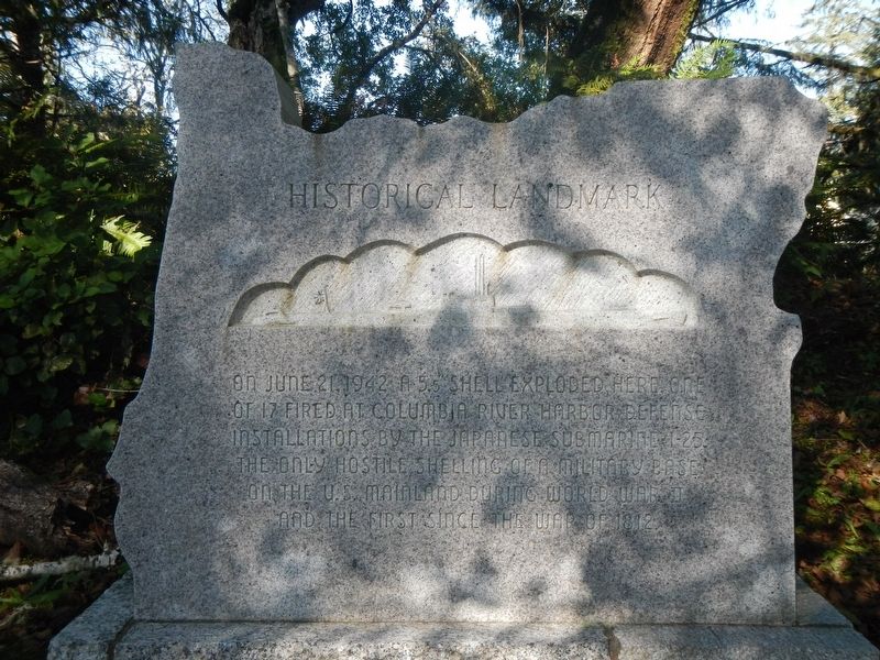
1. Japanese Bombardment Marker
Note the profile of a submarine engraved on the monument.
Erected 1970 by American Legion, Department of Oregon, Distr. 1.
Topics. This historical marker is listed in this topic list: War, World II. A significant historical date for this entry is June 21, 1942.
Location. 46° 9.015′ N, 123° 56.614′ W. Marker is in Hammond, Oregon, in Clatsop County. It is on Delaura Beach Lane near Ridge Road, on the right when traveling west. Touch for map. Marker is at or near this postal address: 32782 Delaura Beach Lane, Hammond OR 97121, United States of America. Touch for directions.

Regionally, this marker is on the Oregon Coast. It is also on the American Pacific Coast, in the Pacific Northwest, and in the Lewis & Clark Corridor. Globally, it is in North America, on the Pacific Rim, in the Western Hemisphere, in the Western World, and in the Anglosphere.
Other nearby markers. At least 8 other markers are within 4 miles of
this page online
Other markers no longer nearby. The Peter Iredale (was approx. 2.6 miles away but has been permanently removed); a different marker also named The Wreck of the Peter Iredale (was approx. 2.6 miles away but has been permanently removed).
Photographed by Barry Swackhamer, September 23, 2017
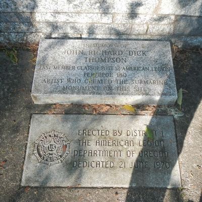
2. Japanese Bombardment Monument
John Richard 'Dick' Thompson
Past Member Clatsop Post 12 American Legion
PER FPOE 180
Artist Who Created the Submarine
Monument on this Site
Photographed by Barry Swackhamer, September 23, 2017
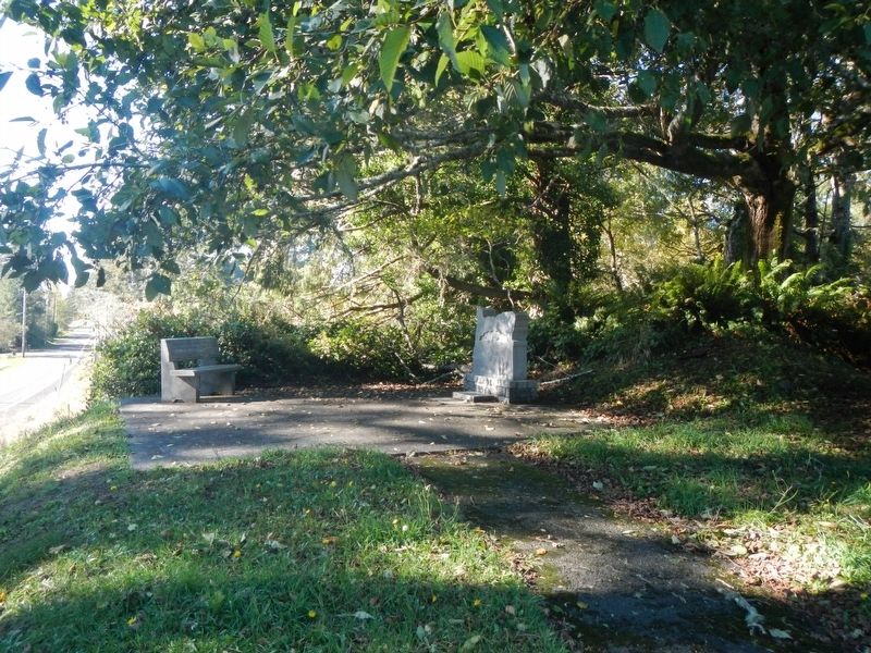
3. Japanese Bombardment Marker
Credits. This page was last revised on February 2, 2018. It was originally submitted on February 2, 2018, by Barry Swackhamer of Brentwood, California. This page has been viewed 864 times since then and 112 times this year. Photos: 1, 2, 3. submitted on February 2, 2018, by Barry Swackhamer of Brentwood, California.
