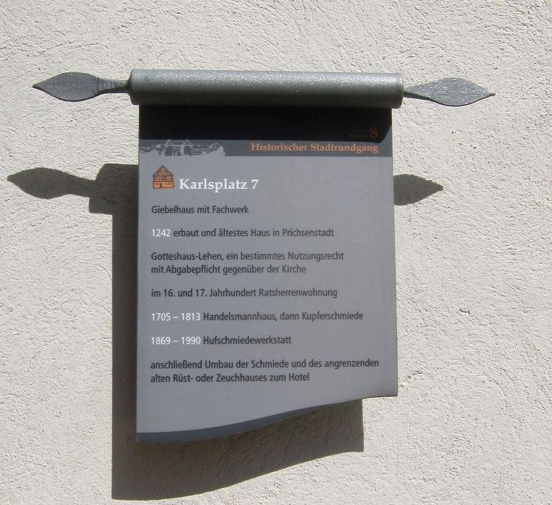
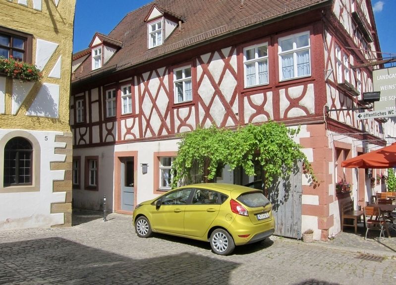
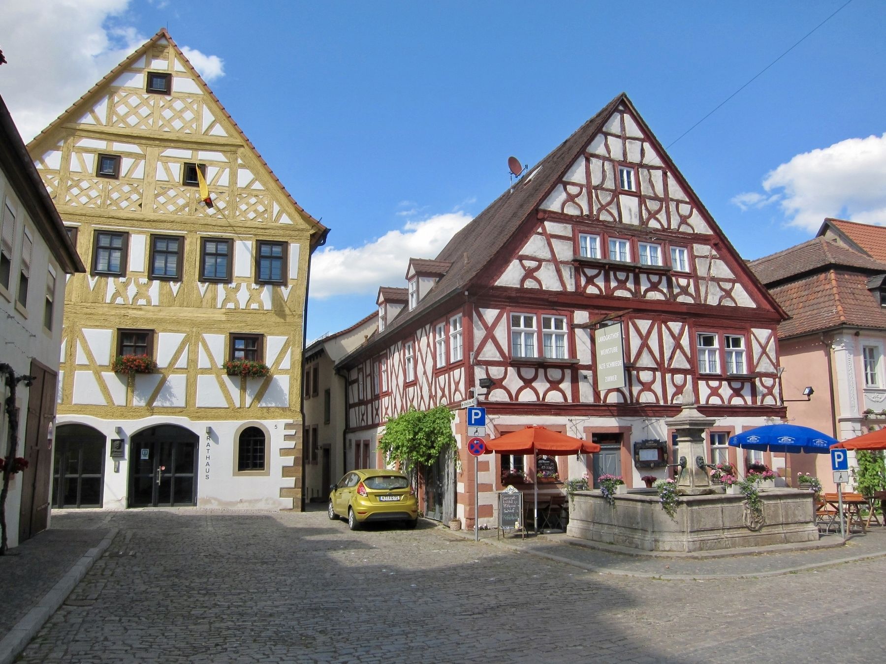
Karlsplatz 7
Historischer Stadtrundgang / Historical Town Walk
1242 erbaut und ältestes Haus in Prichsenstadt
Gotteshaus-Lehen, ein bestimmtes Nutzungsrecht mit Abgabepflicht gegenüber der Kirche
im 16. und 17. Jahrhundert Ratsherrenwohnung
1705-1813 Handelsmannhaus, dann Kupferschmiede
1869-1990 Hufschmiedewerkstatt
anschließend Umbau der Schmiede und des angrenzenden alten Rüst- oder Zeuchhauses zum Hotel
Built in 1242 and is the oldest house in Prichsenstadt
Church-owned, with specific rights concerning use and payment to the Church
Was a councilmember dwelling in the 16th and 17th Centuries
1705-1813 was the house of a businessman, then of a coppersmith
1869-1990 farrier workshop
Then finally a hotel, from the conversion of the smithy and adjacent shed
Gabled house with half-timbering
(Marker Number 8.)
Topics. This historical marker is listed in this topic list: Notable Buildings. A significant historical year for this entry is 1242.
Location. 49° 49.062′ N, 10° 21.188′
Other nearby markers. At least 8 other markers are within walking distance of this marker. Karlsplatz 9 (here, next to this marker); Schulinstrasse 1 (within shouting distance of this marker); Stadtturm / City Tower (within shouting distance of this marker); Schulinstrasse 7 (within shouting distance of this marker); Luitpoldstrasse 5/7 (within shouting distance of this marker); Synagoge / Synagogue (about 90 meters away, measured in a direct line); Luitpoldstrasse 12 (about 90 meters away); Kirchgasse Stadtmauerdurchbruch / "Church Alley" Town Wall Opening (about 90 meters away). Touch for a list and map of all markers in Prichsenstadt.
Credits. This page was last revised on January 28, 2022. It was originally submitted on February 3, 2018, by Andrew Ruppenstein of Lamorinda, California. This page has been viewed 141 times since then. Photos: 1, 2, 3. submitted on February 3, 2018, by Andrew Ruppenstein of Lamorinda, California.


