Vida in Lane County, Oregon — The American West (Northwest)
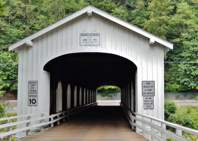
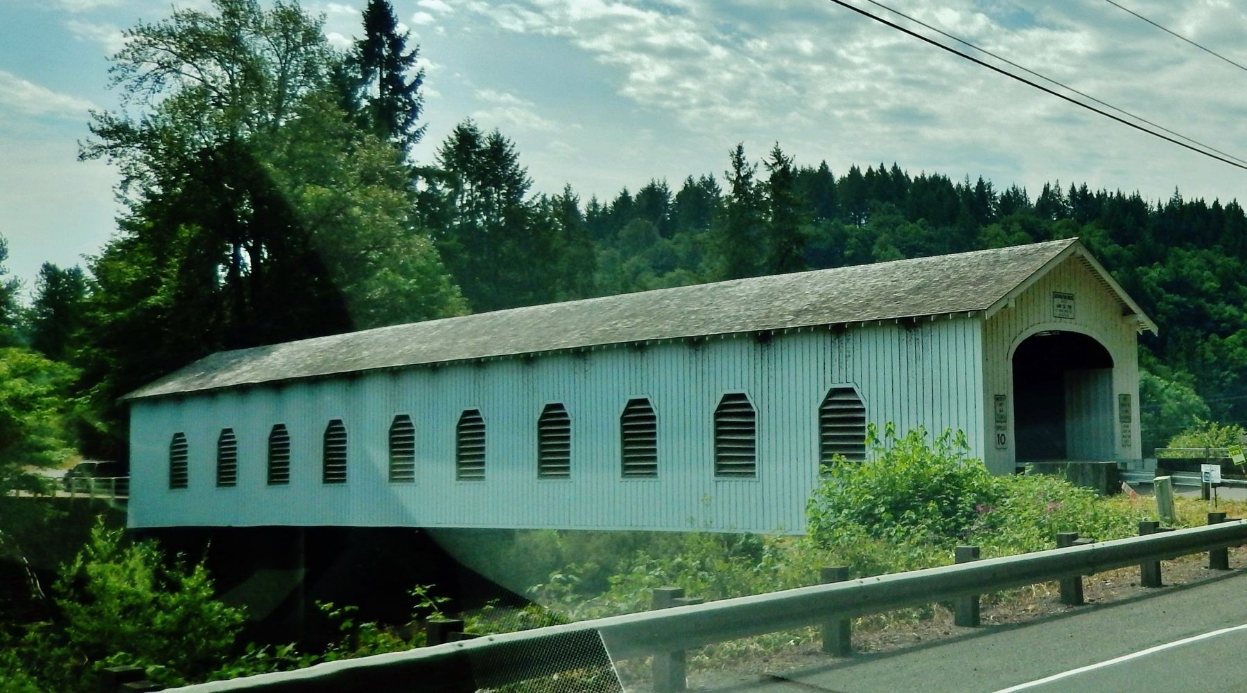
Goodpasture Bridge
(panel 1)
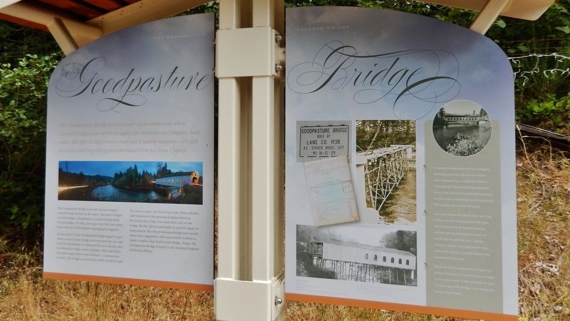
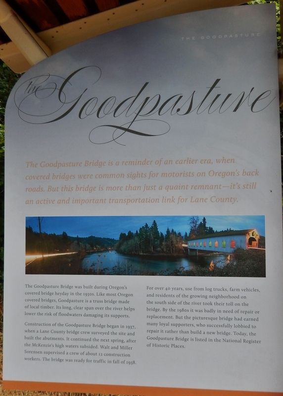
The Goodpasture Bridge is a reminder of an earlier era, when covered bridges were common sights for motorists on Oregonís back roads. But this bridge is more than just a quaint remnant — itís still an active and important transportation link for Lane County.
The Goodpasture Bridge was built during Oregonís covered bridge heyday in the 1930s. Like most Oregon covered bridges, Goodpasture is a truss bridge made of local timber. Its long, clear span over the river helps lower the risk of floodwaters damaging its supports.
Construction of the Goodpasture Bridge began in 1937, when a Lane County bridge crew surveyed the site and built the abutments. It continued the next spring, after the McKenzieís high waters subsided. Walt and Miller Sorensen supervised a crew of about 12 construction workers. The bridge was ready for traffic in fall of 1938.
For over 40 years, use from log trucks, farm vehicles, and residents of the growing neighborhood on the south side of the river took their toll on the bridge. By the 1980s it was badly in need of repair or replacement. But the picturesque bridge had earned many local supporters, who successfully lobbied to repair it rather than build a new bridge. Today, the Goodpasture Bridge is listed in the National Register of Historic Places.
(panel 2)
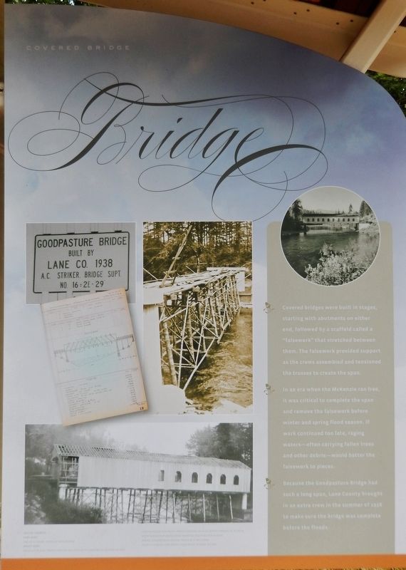
Covered bridges were built in stages, starting with abutments on either end, followed by a scaffold called a “falsework” that stretched between them. The falsework provided support as the crews assembled and tensioned the trusses to create the span.
In an era when the McKenzie ran free, it was critical to complete the span and remove the falsework before winter and spring flood season. If work continued too late, raging waters – often carrying fallen trees and other debris – would batter the falsework to pieces.
Because the Goodpasture Bridge had such a long span, Lane County brought in an extra crew in the summer of 1938 to make sure the bridge was complete before the floods.
Topics and series. This historical marker is listed in these topic lists: Architecture • Bridges & Viaducts • Man-Made Features. In addition, it is included in the Covered Bridges series list. A significant historical year for this entry is 1937.
Location. 44° 8.888′ N, 122° 35.22′ W. Marker is in Vida, Oregon, in Lane County. Marker is on Goodpasture Road east of McKenzie Highway (Oregon Route 126), on the right when traveling west. Marker is located in a pull-out on the north side of Goodpasture Road, near the east entrance of the subject bridge. Touch for map. Marker is at or near this postal address: 45200 Goodpasture Road, Vida OR 97488, United States of America. Touch for directions.
Regarding Goodpasture Bridge. Truss Type: Howe Bridge.
National Register of Historic Places #79002100.
Also see . . .
1. Goodpasture Covered Bridge.
Goodpasture Covered Bridge was built in 1938 for $13,154. It was named for Benjamin Franklin Goodpasture, a pioneer farmer in the vicinity. In 1987, the bridge was failing under the heavy traffic load. But instead of bypassing the historic bridge with a new concrete and steel bridge - like had been done at so many other covered bridge crossings - the county invested $750,000 to renovate the original structure. (Submitted on February 4, 2018, by Cosmos Mariner of Cape Canaveral, Florida.)
2. Goodpasture Bridge.
At 165 feet, the span is the longest covered bridge in Oregon still in daily use. The nearby town of Vida was once called Gate Creek, resulting in confusion with Gales Creek in Washington County. "Vida" was selected as an alternate name because it was also the name of the daughter of postmaster Francis Peport. The Goodpasture family settled near the town of Vida and gave their name to the bridge (Submitted on February 4, 2018, by Cosmos Mariner of Cape Canaveral, Florida.)
Credits. This page was last revised on May 8, 2020. It was originally submitted on February 4, 2018, by Cosmos Mariner of Cape Canaveral, Florida. This page has been viewed 203 times since then and 13 times this year. Photos: 1, 2, 3, 4, 5, 6. submitted on February 4, 2018, by Cosmos Mariner of Cape Canaveral, Florida. • Andrew Ruppenstein was the editor who published this page.
