Medford in Jackson County, Oregon — The American West (Northwest)
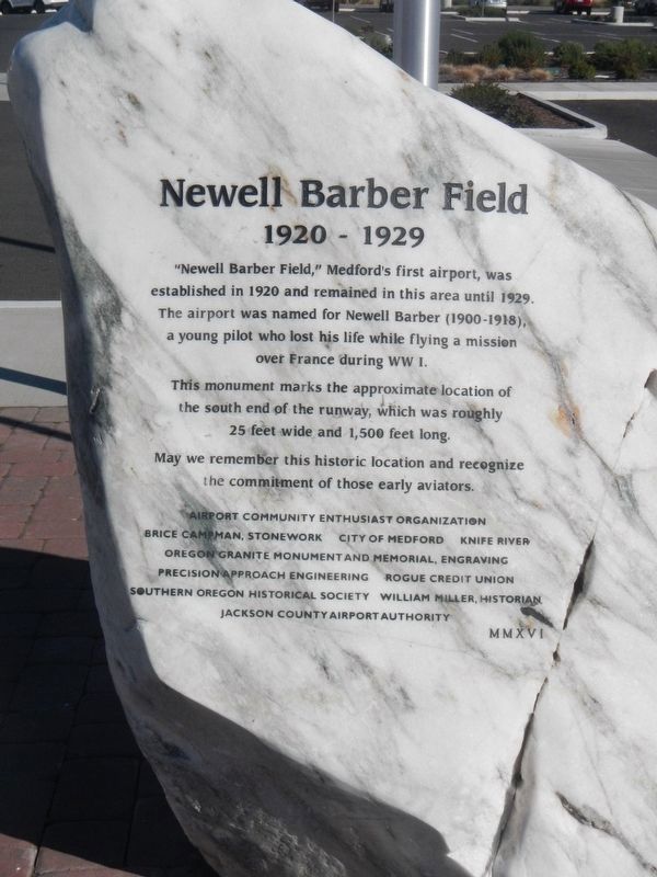
Newell Barber Field
1920 - 1929
Photographed by Barry Swackhamer, September 27, 2017
1. Newell Barber Field Marker
This monument marks the approximate location of the south end of the runway, which was roughly 25 feet wide and 1,500 feet long.
May we remember this historic location and recognize the commitment of those early aviators.
Erected 2016 by Jackson County Airport Authority, Southern Oregon Historical Society, City of Medford & c.
Topics. This memorial is listed in these topic lists: Air & Space • War, World II. A significant historical year for this entry is 1920.
Location. 42° 18.498′ N, 122° 51.264′ W. Memorial is in Medford, Oregon, in Jackson County. It can be reached from Center Drive near Garfield Street, on the left when traveling north. Touch for map. Memorial is at or near this postal address: 1370 Center Drive, Medford OR 97501, United States of America. Touch for directions.

Regionally, this memorial is in Southern Oregon. It is also on the American Pacific Coast,
this page online
Other nearby markers. At least 8 other markers are within 2 miles of this marker, measured as the crow flies: Miles Field (approx. 0.2 miles away); Applegate Trail - Down Bear Creek (approx. 0.3 miles away); Harry & David Comice Pear Trees (approx. 0.4 miles away); First Public School Building in Medford (approx. 1.4 miles away); Historic Land Survey Monument (approx. 1½ miles away); Replica of the Statue of Liberty (approx. 1½ miles away); The War Brings Change (approx. 1½ miles away); Medford Boomed As Orchards Bloomed (approx. 1½ miles away). Touch for a list and map of all markers in Medford.
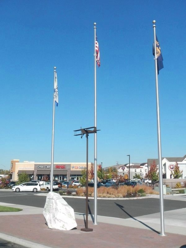
More about this memorial. This monument is located in front of the Rogue Credit Union.
Additional commentary.
1.
The marble marker was produced and donated by local stonemason Brice Campman. The marble was rendered from Jones Marble Quarry
Photographed by Barry Swackhamer, September 27, 2017
2. Newell Barber Field Marker
— Submitted May 25, 2019, by Brice Campman of Bellingham, Washington.
Credits. This page was last revised on May 25, 2019. It was originally submitted on February 4, 2018, by Barry Swackhamer of Brentwood, California. This page has been viewed 724 times since then and 46 times this year. Photos: 1, 2. submitted on February 4, 2018, by Barry Swackhamer of Brentwood, California.
