Tillamook in Tillamook County, Oregon — The American West (Northwest)
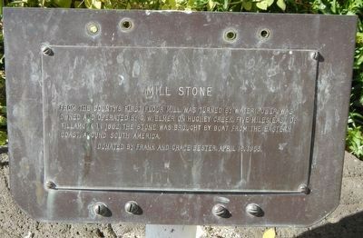
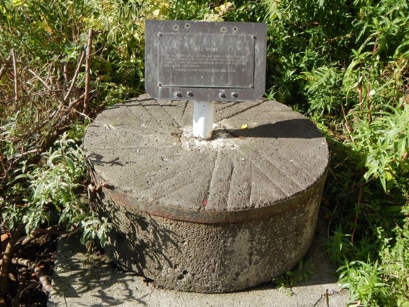
Mill Stone
Erected by Tillamook County Historical Society.
Topics. This historical marker is listed in this topic list: Industry & Commerce.
Location. 45° 27.43′ N, 123° 50.568′ W. Marker is in Tillamook, Oregon, in Tillamook County. Marker is on 2nd Street near Laurel Avenue, on the right when traveling west. Touch for map. Marker is at or near this postal address: 2106 2nd Street, Tillamook OR 97141, United States of America. Touch for directions.
Other nearby markers. At least 8 other markers are within 9 miles of this marker, measured as the crow flies. Steam Donkey (within shouting distance of this marker); Tillamook County (within shouting distance of this marker); Kelly Building (about 300 feet away, measured in a direct line); Tillamook Hotel (about 400 feet away); Beals Building (about 400 feet away); A Way of Life Centered around a 1-Ton Crystal Lens (approx. 6.7 miles away); Captain Robert Gray (approx. 8.2 miles away); a different marker also named Captain Robert Gray (approx. 8.2 miles away). Touch for a list and map of all markers in Tillamook.
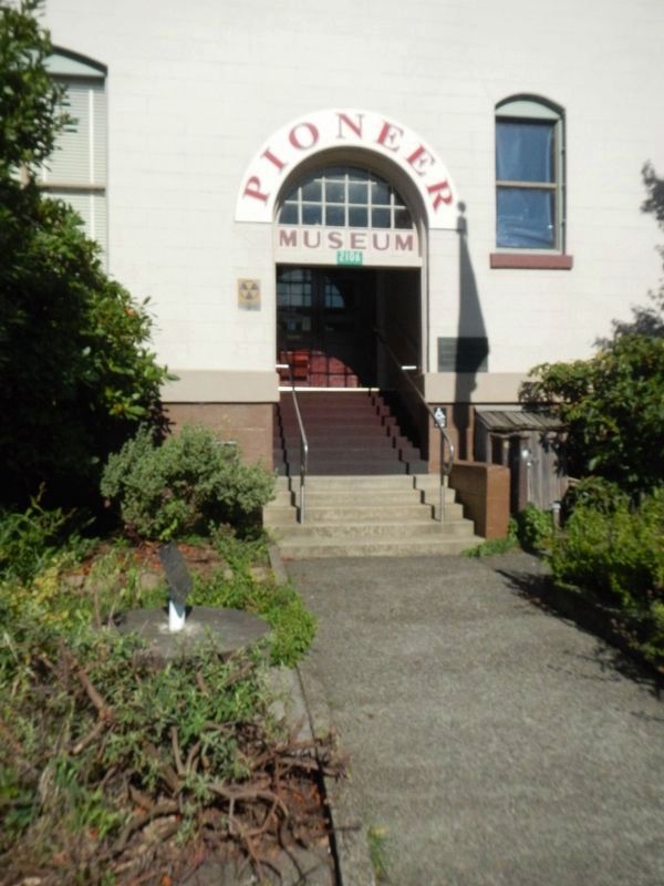
More about this marker. The mill stone in in front of the Tillamook County Pioneer Museum.
Credits. This page was last revised on February 4, 2018. It was originally submitted on February 4, 2018, by Barry Swackhamer of Brentwood, California. This page has been viewed 157 times since then and 15 times this year. Photos: 1, 2, 3. submitted on February 4, 2018, by Barry Swackhamer of Brentwood, California.


