
Fort Jefferson Memorial Cross at the Confluence
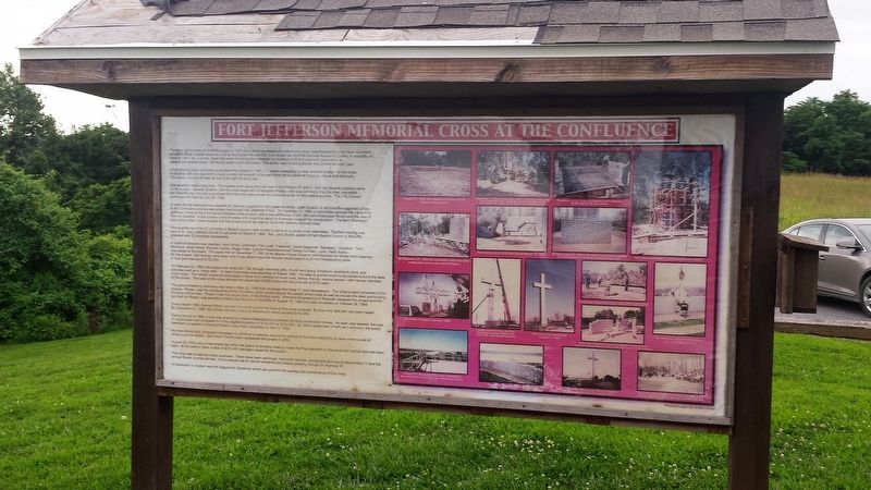
When Murray State University purchased the location in 1981, it became necessary to seek another location for the cross. It was then the idea was born to build a cross tall enough to be seen from the tri-states of Missouri, Illinois and Kentucky. The cross would be 90 feet tall and lit at night for all to see.
Site selection took a long time. The highest point along the river was Fort Jefferson hill and in 1989 the 38-acre property came up for auction. Several citizens, with the encouragement of Margaret Phillips who was terminally ill at the time, requested the Wickliffe City Council to purchase the tract and lease or sell two acres as
this page online
A name for the memorial was decided by seeking suggestions from area residents. Juett Owens, Jr. of Wickliffe suggested Cross at the Confluence because of the location above the confluence of the Ohio and Mississippi Rivers and the idea of "flowing together" of the citizens of the tri-states who would be asked to financially support the construction. The term "Memorial" was added when it was decided that the project would be used to honor the memory of loved ones.
Representatives of the 51 churches in Ballard County were invited to serve on a county wide committee. The first meeting was held at St. Mary Catholic Church in LaaCenter on March 8, 1990. Rev. Jack Studie, pastor of Faith Baptist Church in Wickliffe, presided with 23 churches represented.
A board of directors was selected: John Wood, Chairman; Tom Juett, Treasurer; Joyce Carpenter, Secretary; directors: Terry Simmons. Anita Howle, Richard Overby, Peggy Piper, Carolyn Rosenstone and Teresa Sullivan. Later, Keith Kelley was added to the board. The board met on November 7, 1991 at
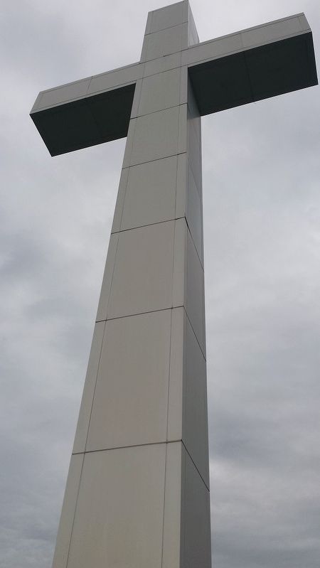
On February 22, 1992 the project at raised $21,762 through memorial gifts, church and group donations, aluminum cans, and activities such as a "cross walk". A major fund raiser was launched on Easter 1992 - the sale of granite bricks to be placed around the base of the cross. The "bricks" would be purchased in honor or in memory of loved ones, family, friends, special people - with names inscribed on the bricks. The base of the cross allowed the placement of 800 bricks with the price set at $100 each.
The ground breaking ceremony was held on May 22, 1994 with coverage from local TV and newspapers. The cross project consisted of two phases. Phase I was the construction of the foundation which would support the weight of the cross as well as include the deck surrounding the base of the cross. Phases II was the construction of the 90-foot cross. Simmons Engineering of Paducah designed the project and the contract for
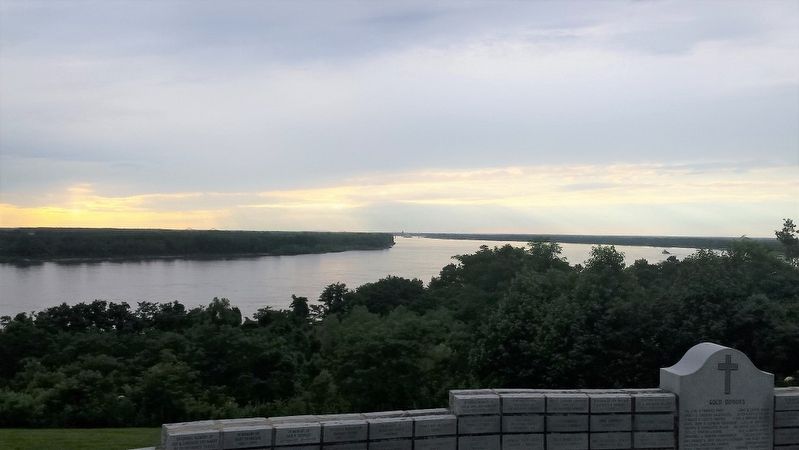
During March 1995, Earnest Brown laid the first bricks around the base of the cross pedestal. By that time, $98,954 had been raised. By December 31, 1996, 823 bricks had been sold and the amount raised reached $150,000.
During the fall of 1996, a loan was granted by Citizens State Bank to complete the final construction phase. As each year passed, the cost of construction had increased from the original projection of $150,000 to $300,000. So, with a great deal of faith and optimism, the board members co-signed a note and Phase II was finally completed on April 4, 1999.
As more bricks sold, it became necessary to construct a walkway around the outside of the deck leading to an area where a wall of bricks could be added. Jerry Dunn Construction completed this project in 2000.
August 29, 2002 was a memorable day when the board of directors voted to make the final payment of the bank loan and all bills had been paid - at this point in time, a total of $316,405 had been raised for the project.
The cross site is used
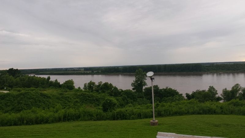
A receptacle is located near the flagpole for donations which are used for the upkeep and maintenance of the cross.
Topics. This historical marker is listed in this topic list: Religion & Religious Structures. A significant historical date for this entry is February 22, 1992.
Location. 36° 57.447′ N, 89° 5.535′ W. Marker is in Wickliffe, Kentucky, in Ballard County. It is on U.S. 51, on the right when traveling south. Touch for map. Marker is in this post office area: Wickliffe KY 42087, United States of America. Touch for directions.
Regionally, this marker is in Kentucky’s Jackson Purchase. It is also in the American Midwest, in the South, in the Upper South, in the Ohio River Valley, and in the Great River Road Region. Globally, it is in North America, the Western Hemisphere, the Western World, and the Anglosphere. Historically, it finds itself in what was once the territory of the Mississippian Culture
Other nearby markers. At least 8 other markers are within walking distance of this marker: Lewis & Clark at Old Fort Jefferson (within shouting distance of this marker); Fort Jefferson (about 700 feet away, measured in a direct line); Flags! Flags! Flags! (about 700 feet away); Brief Overview of Fort Jefferson, 1780-1781 (about 700 feet away); Ft. Jefferson/Town of Clarksville Memorial (about 700 feet away); Fort Jefferson Site / Indian Massacre (about 700 feet away); Lewis and Clark in Kentucky Fort Jefferson (about 800 feet away); Purpose of Fort Jefferson & Town of Clarksville (about 800 feet away). Touch for a list and map of all markers in Wickliffe.
Also see . . . Welcome to Wickliffe, KY. City of Wickliffe website. Basic information about the city officials, attractions and links. (Submitted on February 6, 2018, by David Tibbs of Resaca, Georgia.)
Credits. This page was last revised on October 5, 2020. It was originally submitted on February 5, 2018, by David Tibbs of Resaca, Georgia. This page has been viewed 2,328 times since then and 107 times this year. Photos: 1, 2, 3, 4. submitted on February 5, 2018, by David Tibbs of Resaca, Georgia. • Andrew Ruppenstein was the editor who published this page.
