Oude Stad in Haarlem, North Holland, Netherlands — Northwestern Europe
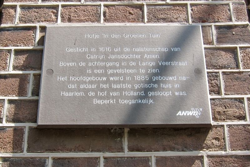
Hofje 'In den Groenen Tuin'
⎯⎯⎯
Hofje "In the Green Garden"
Photographed by Andrew Ruppenstein, June 19, 2017
1. Hofje In den Groenen Tuin Marker

Catrijn Jansdochter Amen.
Boven achtergang in de Lange Veerstraat
is een gevelsteen to zien.
He hoofdgebouw werd in 1885 gebouwd
nadat aldaar het laatste gotische huis in
Haarlem, de hof van Holland, gesloopt was.
Beperkt toegankelijk.
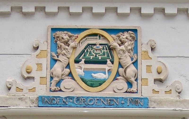
Founded in 1616 from the estate of Catrijn Jansdochter Amen. Above the rear entrance on Lange Veerstraat one can see a 'Gevelsteen' (i.e., a decorative plaque, usually in relief). The main building was built in 1885 on the site after the last Gothic house in Haarlem, the Court of Holland, was demolished. Limited access.
Erected by The ANWB.
Topics. This historical marker is listed in this topic list: Charity & Public Work. A significant historical year for this entry is 1616.
Location. 52° 22.809′ N, 4° 38.19′ E. Marker is in Oude Stad, Noord-Holland (North Holland), in Haarlem. It is on Warmoesstraat just north of Anegang, on the right when traveling north. Touch for map. Marker is at or near this postal address: Warmoesstraat 23, Oude Stad, Noord-Holland 2011 HN, Netherlands. Touch for directions.

Regionally, it is in Europe, the European Union, Atlantic Europe, the Benelux Low Countries, the Schengen Area, Western Europe, and the
this page online
Other nearby markers. At least 8 other markers are within walking distance of this marker: Guldenbergspoortje / “Guldenbergs Gate” (about 90 meters away, measured in a direct line); Samuel Ampzing (1590-1632) (about 90 meters away); Grote of St. Bavokerk (Ned. Herv.) / ”Grote” or St. Bavo Church (Dutch Reformed) (about 90 meters away); Vleeshal / Meat Market (about 120 meters away); Langt Vlaamse Wegen - Haarlem / Along Flemish Paths in Haarlem (about 120 meters away); Vishal / "Fish Hall" (about 120 meters away); Huis Van Schagen / The Van Schagen Building (about 150 meters away); Stadhuis / City Hall (about 150 meters away).
Regarding Hofje 'In den Groenen Tuin' / Hofje "In the Green Garden". The literal meaning of the Dutch word "hofje" in English, "small garden" is inadequate to convey its functional meaning. A hofje is a social institution, usually funded and operated by a foundation, that provides housing (with a small garden) for those in lesser circumstances, i.e. the aged, single mothers, or widows.
Also see . . . Hofje In den Groenen Tuin (Wikipedia). (Submitted on February 6, 2018.)
Photographed by Andrew Ruppenstein, June 19, 2017
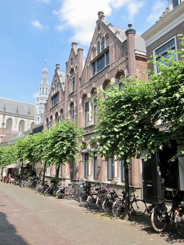
2. Hofje 'In den Groenen Tuin' / Hofje "In the Green Garden" and Marker - Wide View
The marker is visible here mounted to the wall of the building, behind the utility box, roughly.
Photographed by CT Snow (Flicker) under cc-by-sa-2.0 license (via Wikimedia Commons), February 6, 2018
3. Hofje 'In den Groenen Tuin' Gevelsteen ("Gable Stone")
Postcard published by P. van Cittert Zonen, Haarlem, circa 1925
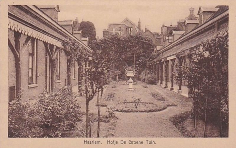
4. Haarlem. Hofje De Groene Tuin., Interior Courtyard
Photographed by Andrew Ruppenstein, June 19, 2017
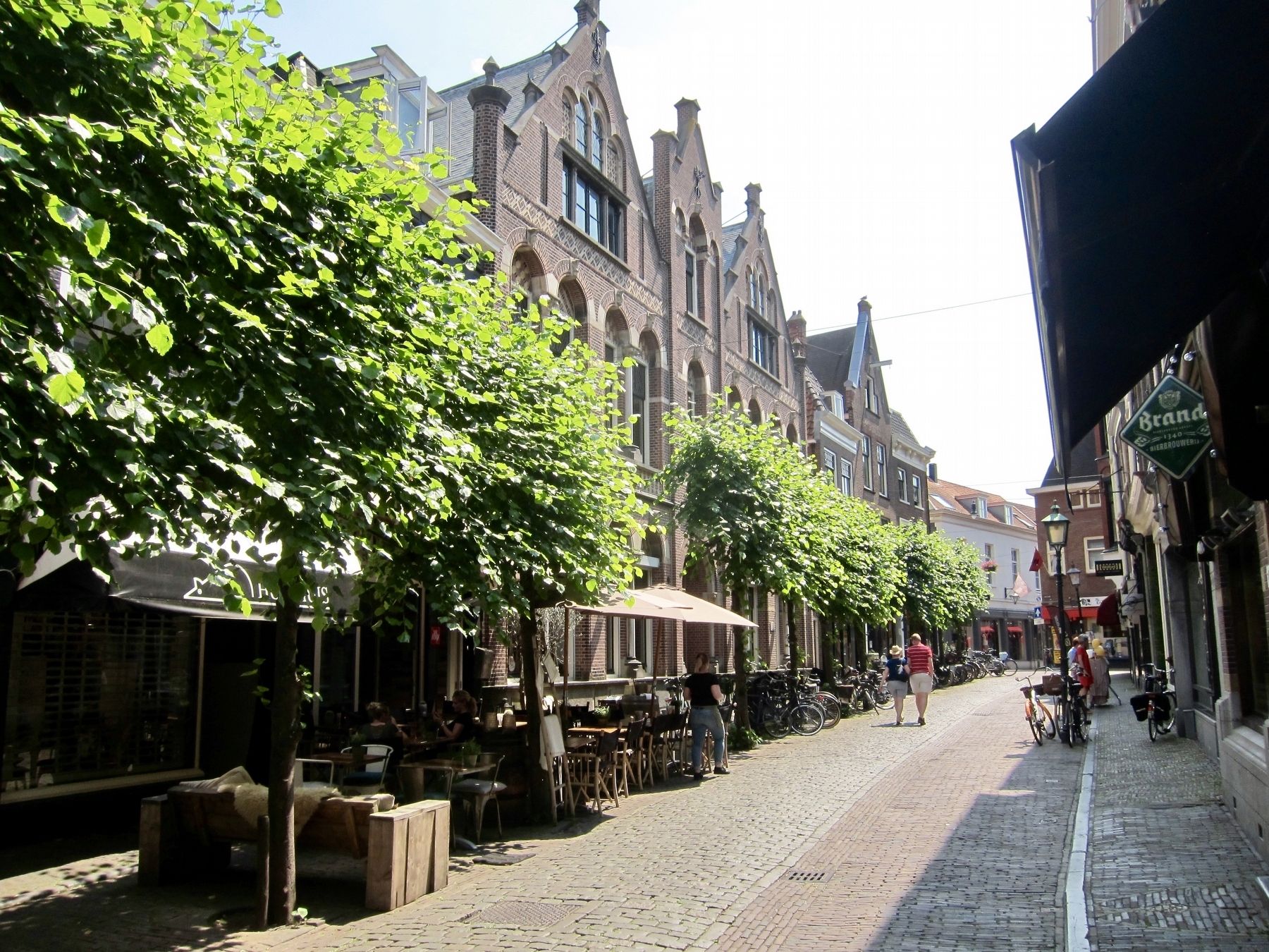
5. Hofje "In the Green Garden" and Marker, looking south on Warmoesstraat
Credits. This page was last revised on February 12, 2022. It was originally submitted on February 6, 2018, by Andrew Ruppenstein of Lamorinda, California. This page has been viewed 323 times since then and 25 times this year. Photos: 1, 2, 3, 4, 5. submitted on February 6, 2018, by Andrew Ruppenstein of Lamorinda, California.
