North Bethesda in Montgomery County, Maryland — The American Northeast (Mid-Atlantic)
11333 Woodglen Drive
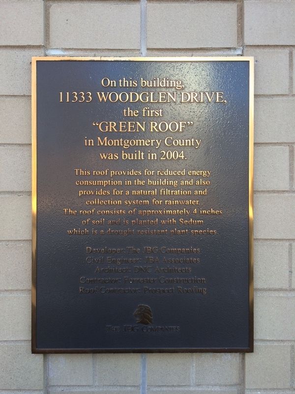
11333 Woodglen Drive,
the first
"Green Roof"
in Montgomery County
was built in 2004.
This roof provides for reduced energy consumption in the building and also provides for a natural filtration and collection system for rainwater. The roof consists of approximately 4 inches of soil and is planted with Sedum which is a drought resistant plant species.
Civil Engineer: JBA Associates
Architect: DNC Architects
Contractor: Forrester Construction
Roof Contractor: Prospect Roofing
Erected by The JBG Companies.
Topics. This historical marker is listed in these topic lists: Architecture • Environment. A significant historical year for this entry is 2004.
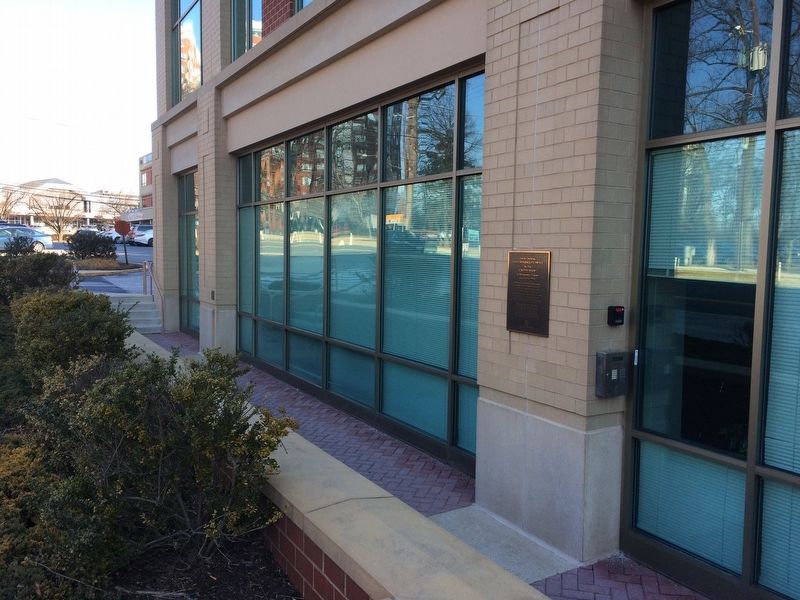
Location. 39° 2.619′ N, 77° 6.798′ W. Marker is in North Bethesda, Maryland, in Montgomery County. Marker is on Woodglen Drive north of Executive Boulevard, on the right when traveling north. Touch for map. Marker is at or near this postal address: 11333 Woodglen Drive, Rockville MD 20852, United States of America. Touch for directions.
Other nearby markers. At least 8 other markers are within walking distance of this marker. "Alluvium" is an artwork by Jim Sanborn (about 600 feet away, measured in a direct line); Maryland: Confederate or Union State? (approx. 0.3 miles away); How Did Josiah Henson Help Free Enslaved People? (approx. 0.4 miles away); Who Was Josiah Henson? (approx. 0.4 miles away); Whose House Was This? (approx. 0.4 miles away); From Trolley to Trail: A Brief History (approx. 0.4 miles away); Preserving the Riley-Bolten House (approx. 0.4 miles away); Farm Road Bed (approx. 0.4 miles away). Touch for a list and map of all markers in North Bethesda.
Credits. This page was last revised on March 27, 2020. It was originally submitted on February 8, 2018, by Devry Becker Jones of Washington, District of Columbia. This page has been viewed 236 times since then and 19 times this year. Photos: 1, 2. submitted on February 8, 2018, by Devry Becker Jones of Washington, District of Columbia. • Bill Pfingsten was the editor who published this page.

