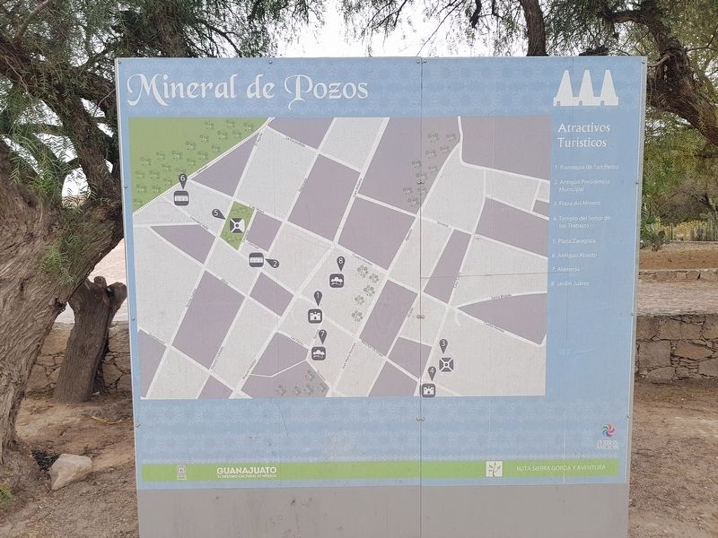
Mineral de Pozos in San Luis de la Paz, Guanajuato, Mexico — The Central Highlands (North America)
City Cemetery
Mineral de Pozos
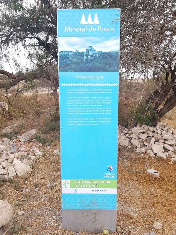
De acuerda con las fechas grabadas en las tumbas más arcaicas, este panteón cuenta con más de 100 años de vida, pues data de finales de finales del siglo XIX. Incluso las lápidas conservan el antiguo nombre del pueblo de Mineral de Pozos: Ciudad Porfirio Díaz, pues su época de mayor esplendor fue precisamente durante el periodo conocido como Porfiriato, mismo que terminó con la llegada de la Revolución Mexicana.
Debido a su rico pasado minero, la mayor parte de las tumbas fueron saqueadas a mediados del siglo XX por ladrones que rompían las cajas esperando encontrar metales preciosos adornando los cadáveres. Por ello, algunos féretros tienen a la intemperie huesos humanos que hacen más escalofriante el recorrido por este antiguo panteón.
Año con año, durante las celebraciones en honor a los muertos llevadas a cabo los primeros dos días de noviembre, los pobladores y personas de distintas regiones cercanas a Mineral de Pozos se disfrazan para, después de realizar varias actividades tradicionales relacionadas con la fecha, dirigirse en peregrinación al panteón para rendir culto a los difuntos.
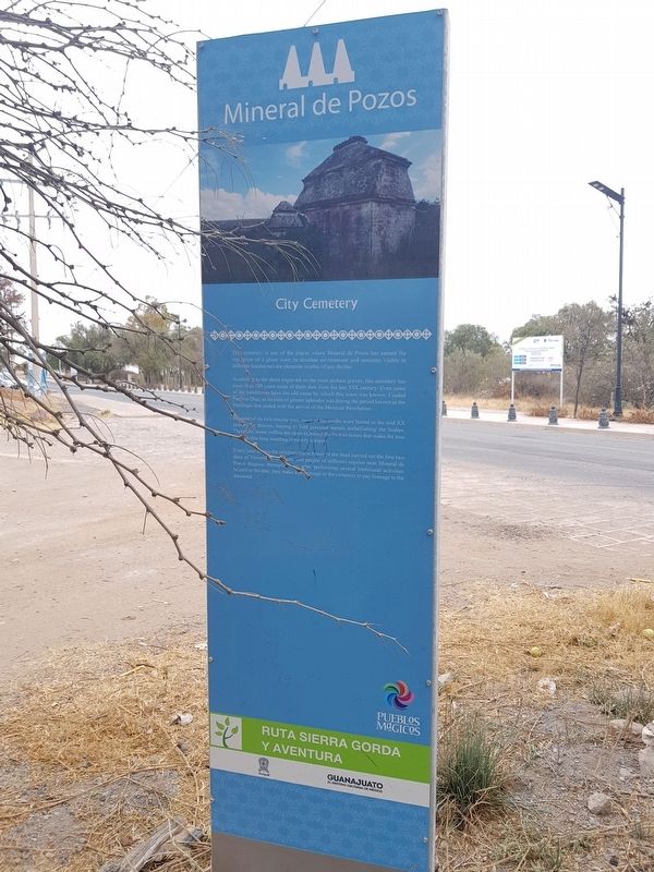
According to the dates engraved on the most archaic graves, this cemetery has more than 100 years some of them date from the late XIX century. Even some of the headstones have the old name by which this town was known: Ciudad Porfirio Díaz, as its time of greater splendor was during the period known as the Porfiriato that ended with the arrival of the Mexican Revolution.
Because of its rich mining past, most of the tombs were looted in the mid XX century by thieves, hoping to find precious metals embellishing the bodies. Therefore, some coffins are open exposing the human bones that make the tour through this long standing cemetery creepier.
Every year during the celebrations in honor of the dead carried out the first two days of November, residents and people of different regions near Mineral de Pozos
disguise themselves, so, after performing several traditional activities related to the date, they make a pilgrimage to the cemetery to pay homage to the deceased.
Erected by Gobierno de Guanajuato.
Topics. This historical marker is listed in this topic list: Cemeteries & Burial Sites.
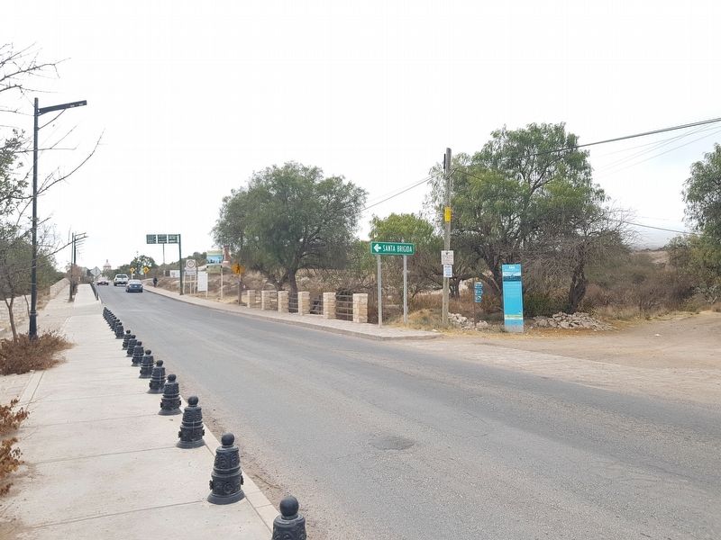
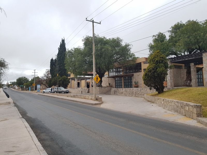
Location. 21° 13.763′ N, 100° 29.475′ W. Marker is in Mineral de Pozos, Guanajuato, in San Luis de la Paz. Marker is on Carretera San Luis de la Paz - Mineral de Pozos, on the right when traveling south. The marker is directly to the south of the Visitors Center on the way to Mineral de Pozos from San Luis de la Paz. Touch for map. Marker is in this post office area: Mineral de Pozos GTO 37600, Mexico. Touch for directions.
Other nearby markers. At least 8 other markers are within 3 kilometers of this marker, measured as the crow flies. J. Encarnación Olguín and Juana Lucio (approx. 0.7 kilometers away); Old City Hall (approx. 0.7 kilometers away); Aqueduct (approx. 1.2 kilometers away); The Model School (approx. 1.2 kilometers away); Ex-Hacienda El Triángulo (approx. 2.3 kilometers away); Angustias Mine (approx. 2.4 kilometers away); Mine and Former Hacienda of Los Cinco Señores (approx. 2.6 kilometers away); Hacienda Baldomero (approx. 2.6 kilometers away). Touch for a list and map of all markers in Mineral de Pozos.
Credits. This page was last revised on February 8, 2018. It was originally submitted on February 8, 2018, by J. Makali Bruton of Accra, Ghana. This page has been viewed 107 times since then and 6 times this year. Photos: 1, 2, 3, 4, 5. submitted on February 8, 2018, by J. Makali Bruton of Accra, Ghana.
