Central Point in Jackson County, Oregon — The American West (Northwest)
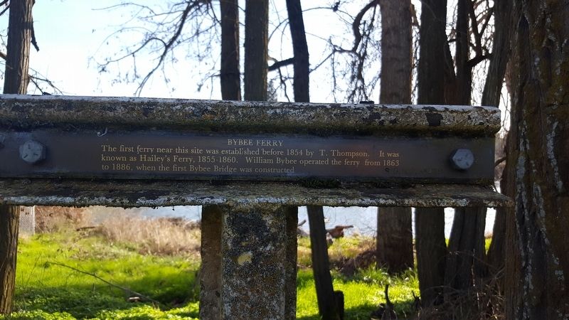
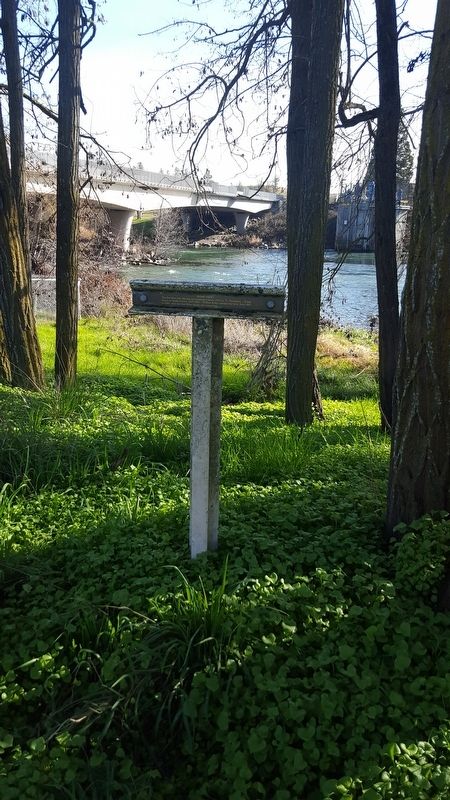
Bybee Ferry
Erected 1979 by Southern Oregon Historical Society.
Topics. This historical marker is listed in this topic list: Waterways & Vessels. A significant historical year for this entry is 1854.
Location. 42° 26.475′ N, 122° 53.553′ W. Marker is in Central Point, Oregon, in Jackson County. Marker is on Table Rock Rd, on the right when traveling south. Touch for map. Marker is in this post office area: Central Point OR 97502, United States of America. Touch for directions.
Other nearby markers. At least 8 other markers are within 6 miles of this marker, measured as the crow flies. Table Rock Monument (approx. 2.3 miles away); US Army Camp White (approx. 2.7 miles away); Oregon Fallen War Heroes Memorial (approx. 3.8 miles away); The Rostel Building (approx. 4.7 miles away); The Story of LaRue and Earl Morris (approx. 4.7 miles away); Eagle Point Veterans Memorial (approx. 5.2 miles away); Antelope Creek Bridge (approx. 5.2 miles away); Eagle Point (approx. 5.2 miles away). Touch for a list and map of all markers in Central Point.
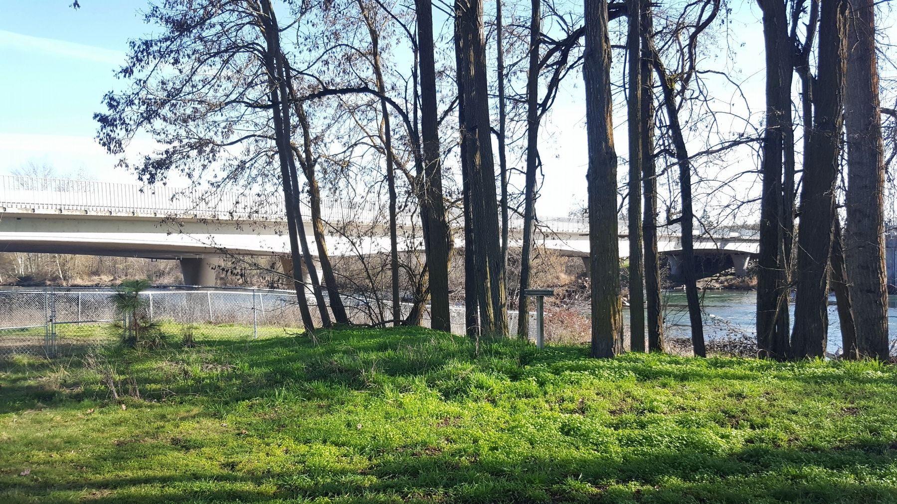
More about this marker. Marker is located in TouVelle State Recreation Site on the west side of Table Rock Rd and just north of the Rogue River.
Also see . . . Jackson County Historical Markers placed by SOHS. This marker is one of a number of historical 'T' markers monumented in the 1970s and 1980s by the Southern Oregon Historical Society and also available for viewing on an interactive map (link above) (Submitted on May 28, 2019, by Douglass Halvorsen of Klamath Falls, Oregon.)
Credits. This page was last revised on May 29, 2019. It was originally submitted on February 8, 2018, by Douglass Halvorsen of Klamath Falls, Oregon. This page has been viewed 244 times since then and 16 times this year. Photos: 1, 2, 3. submitted on February 8, 2018, by Douglass Halvorsen of Klamath Falls, Oregon. • Andrew Ruppenstein was the editor who published this page.


