Seaside in Clatsop County, Oregon — The American West (Northwest)
Dennis L. Edwards Tunnel
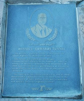
The tunnel was named by the Oregon Transportation Commission on August 21, 2002, in memory of Dennis L. Edwards, who on January 28, 1999, lost his life in the performance of his duties inside the tunnel when a section of the tunnel collapsed.
The naming of the tunnel honors him and all ODOT maintenance employees who risk their lives in the performance of their duties every day to maintain and operate the state highway system.
Erected by Oregon Department of Transportation.
Topics. This historical marker is listed in this topic list: Disasters. A significant historical date for this entry is January 28, 1999.
Location. 45° 47.774′ N, 123° 27.581′ W. Marker is in Seaside, Oregon, in Clatsop County. Marker can be reached from Sunset Highway (Route 26 at milepost 28) near Olson Road, on the right when traveling west. Touch for map. Marker is in this post office area: Seaside OR 97138, United States of America. Touch for directions.
Other nearby markers. At least 2 other markers are within walking distance of this marker. 41st Infantry Division (about 300 feet away, measured in a direct line); The Tillamook Burn (about 400 feet away).
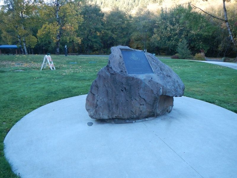
More about this marker. This marker is located at the Sunset Rest Area.

Photographed By Wikipedia
3. Dennis L. Edwards Tunnel
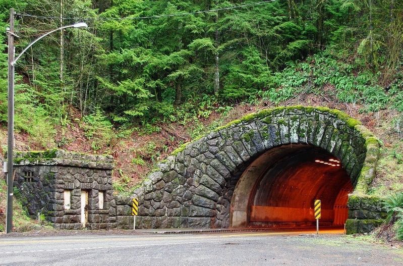
The Dennis L. Edwards Tunnel is a highway tunnel in northwestern Oregon that carries the Sunset Highway (U.S. Route 26) through the Northern Oregon Coast Range mountains near the unincorporated community of Manning, 27 miles (43 km) west of Portland. The tunnel was completed in 1940 and is 772.0 feet (235.3 m) long. -- Wikipedia
Credits. This page was last revised on February 9, 2018. It was originally submitted on February 9, 2018, by Barry Swackhamer of Brentwood, California. This page has been viewed 321 times since then and 50 times this year. Photos: 1, 2, 3. submitted on February 9, 2018, by Barry Swackhamer of Brentwood, California.

