Eagle Point in Jackson County, Oregon — The American West (Northwest)
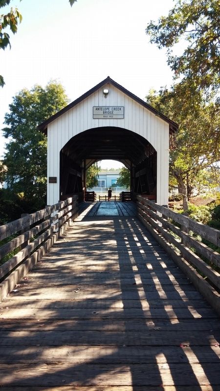
Antelope Creek Bridge
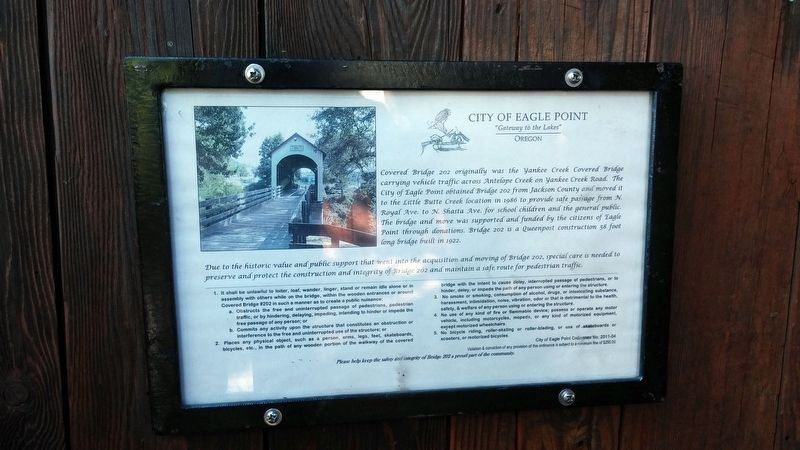
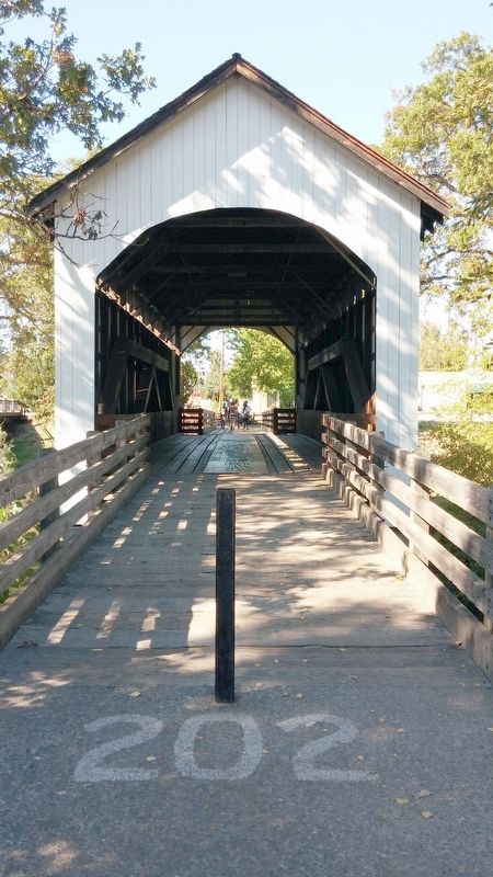
Covered Bridge 202
Due to the historic value and public support that went into the acquisition and moving of Bridge 202, special care is needed to preserve and protect the construction and integrity of Bridge 202 and maintain a safe route for pedestrian traffic.
Erected by City of Eagle Point.
Topics and series. This historical marker is listed in this topic list: Bridges & Viaducts. In addition, it is included in the Covered Bridges series list. A significant historical year for this entry is 1922.
Location. 42° 28.328′ N, 122° 48.018′ W. Marker is in Eagle Point, Oregon, in Jackson County. Marker can be reached from the intersection of N Royal Ave and W Main St. Touch for map. Marker is in this post office area: Eagle Point OR 97524, United States of America. Touch for directions.
Other nearby markers. At least 8 other markers are within 8 miles of this marker , measured as the crow flies. Eagle Point Veterans Memorial (within shouting distance of this marker); Eagle Point (about 500 feet away, measured in a direct line); Snowy Butte Mill (approx. 0.2 miles away); Eagle Point National Cemetery Vietnam Memorial (approx. 0.9 miles away); US Army Camp White (approx. 3 miles away); Bybee Ferry (approx. 5.2 miles away); Table Rock Monument (approx. 7 miles away); Oregon Fallen War Heroes Memorial (approx. 7˝ miles away). Touch for a list and map of all markers in Eagle Point.
More about this marker. Marker is located inside the north end of the bridge.
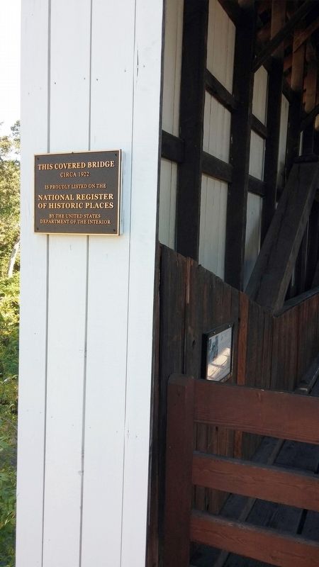
Regarding Antelope Creek Bridge. Antelope Creek Bridge 202, erected around 1922, was originally listed in the National Register in 1979 and was located at Yankee Creek about 10 miles south of Eagle Point. The City of Eagle Point obtained the bridge in 1986, years after the bridge had closed to traffic, and moved it here to Little Butte Creek in 1987. The bridge became de-listed in 1988 when the City modified the bridge by cutting out window panes on the sides of the bridge for better visibility and lighting. Volunteers have worked hard to restore the bridge back to its original look, thus, the bridge was put back on the National List in 2012 where it remains today.
Credits. This page was last revised on February 10, 2018. It was originally submitted on February 9, 2018, by Douglass Halvorsen of Klamath Falls, Oregon. This page has been viewed 207 times since then and 11 times this year. Photos: 1, 2, 3, 4. submitted on February 9, 2018, by Douglass Halvorsen of Klamath Falls, Oregon. • Bill Pfingsten was the editor who published this page.


