Central City South in Phoenix in Maricopa County, Arizona — The American Mountains (Southwest)
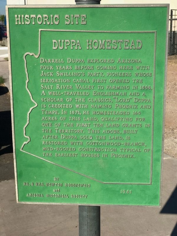
Duppa Homestead
Photographed by Jay Sandhaus, February 9, 2018
1. Duppa Homestead Marker
Erected 1981 by Mr. and Mrs. Newton Rosenzweig, Arizona Historical Society.
Topics. This historical marker is listed in these topic lists: Architecture • Settlements & Settlers. A significant historical year for this entry is 1868.
Location. 33° 26.417′ N, 112° 4.538′ W. Marker is in Phoenix, Arizona, in Maricopa County. It is in Central City South. It is on West Sherman Street, on the right when traveling west. Touch for map. Marker is at or near this postal address: 115 W Sherman Street, Phoenix AZ 85003, United States of America. Touch for directions.

Regionally, this
this page online
Other nearby markers. At least 8 other markers are within walking distance of this marker: Chambers Transfer & Storage Company Building (approx. 0.4 miles away); Santa Fe Freight Depot (approx. 0.4 miles away); Maricopa County Courthouse (approx. half a mile away); J. W. Walker/Central Arizona Light & Power Building (approx. 0.6 miles away); Orpheum Theatre (approx. 0.6 miles away); Hotel San Carlos (approx. 0.7 miles away); Saint Mary's Basilica (approx. 0.8 miles away); Pope John Paul II (approx. 0.8 miles away). Touch for a list and map of all markers in Phoenix.
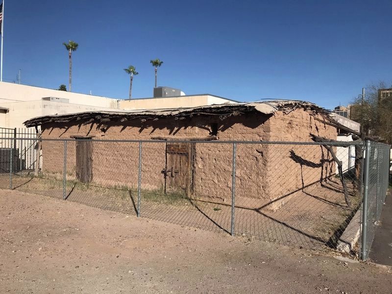
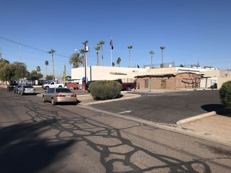
Regarding Duppa Homestead. The structure is surrounded by a chain-link fence. It is directly adjacent to an American Legion Post and a parking lot.
Photographed by Jay Sandhaus, February 9, 2018
2. Duppa Homestead
Photographed by Jay Sandhaus, February 9, 2018
3. Duppa Homestead Site
Credits. This page was last revised on June 28, 2025. It was originally submitted on February 9, 2018, by Jay Sandhaus of Atlanta, Georgia. This page has been viewed 6,670 times since then and 631 times this year. Photos: 1, 2, 3. submitted on February 9, 2018, by Jay Sandhaus of Atlanta, Georgia. • Andrew Ruppenstein was the editor who published this page.
