
Brentwood in Davidson County, Tennessee — The American South (East South Central)
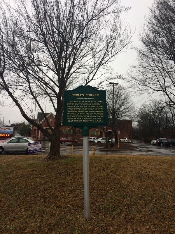
Nobles Corner

Photographed by Steve Masler, February 10, 2018
1. Nobles Corner Marker
Erected by Brentwood Heritage.
Topics. This historical marker is listed in this topic list: Industry & Commerce. A significant historical month for this entry is May 1929.
Location. 36° 2.229′ N, 86° 47.209′ W. Marker is in Brentwood, Tennessee, in Davidson County. It is on Franklin Road near Old Hickory Boulevard. Touch for map. Marker is at or near this postal address: 101 Franklin Road, Brentwood TN 37027, United States of America. Touch for directions.

Regionally, this marker is in Middle Tennessee and in Greater Nashville. It is also in the American South and specifically in the Upper South. Globally,
this page online
Other nearby markers. At least 8 other markers are within 2 miles of this marker, measured as the crow flies: Davidson County / Williamson County (approx. 0.2 miles away); Forrest's Brentwood Raid (approx. ¼ mile away); Hardscuffle Community (approx. 0.4 miles away); Hood's Retreat (approx. half a mile away); Mooreland (approx. half a mile away); Owen-Moore Cemetery (approx. 0.6 miles away); Brentwood United Methodist Church (approx. 0.8 miles away); Gordontown Mound Complex (approx. 1.2 miles away). Touch for a list and map of all markers in Brentwood.
Photographed by Steve Masler, February 10, 2018
2. Nobles Corner Marker
Photographed by Steve Masler, February 10, 2018
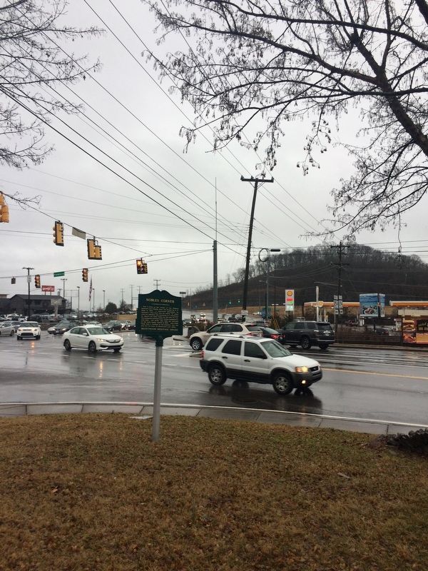
3. Nobles Corner Marker
Credits. This page was last revised on February 12, 2018. It was originally submitted on February 10, 2018, by Steve Masler of Memphis, Tennessee. This page has been viewed 1,582 times since then and 145 times this year. Photos: 1, 2, 3. submitted on February 10, 2018, by Steve Masler of Memphis, Tennessee. • Bill Pfingsten was the editor who published this page.
