Fall Branch in Washington County, Tennessee — The American South (East South Central)
Fall Branch Community Educational Center
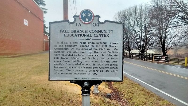
Photographed by Tom Bosse, February 10, 2018
1. Fall Branch Community Educational Center Marker
Erected by Tennessee Historical Commission. (Marker Number 1A 104.)
Topics and series. This historical marker is listed in this topic list: Education. In addition, it is included in the Tennessee Historical Commission series list. A significant historical year for this entry is 1842.
Location. 36° 24.661′ N, 82° 37.184′ W. Marker is in Fall Branch, Tennessee, in Washington County. It is on Tennessee Route 93, on the right when traveling north. Marker is located in front of Fall Branch School. Touch for map. Marker is in this post office area: Fall Branch TN 37656, United States of America. Touch for directions.

Regionally, this marker is in East
this page online
Other nearby markers. At least 8 other markers are within 7 miles of this marker, measured as the crow flies: Double Springs (approx. 3.6 miles away); Sulphur Springs Camp Meeting Grounds (approx. 6.1 miles away); Sulphur Springs Campground (approx. 6.1 miles away); Suffering and Survival (approx. 6.4 miles away); Tennessee Veterans Memorial (approx. 6.4 miles away); Ford vs. Ford (approx. 6.4 miles away); Freed African Americans Win First Inheritance Suit (approx. 6.4 miles away); Pierce Chapel AME Church Cemetery (approx. 6.9 miles away).
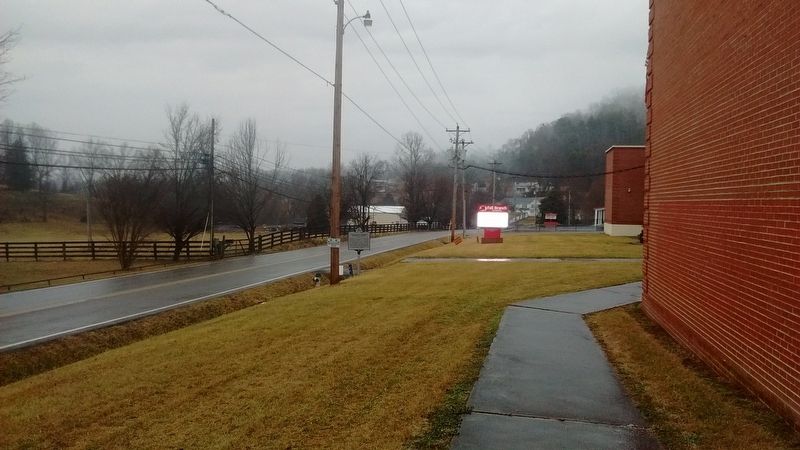
Photographed by Tom Bosse, February 10, 2018
2. Fall Branch Community Educational Center Marker

Photographed by Tom Bosse, February 10, 2018
3. Fall Branch Community Educational Center Marker
Credits. This page was last revised on February 12, 2018. It was originally submitted on February 11, 2018, by Tom Bosse of Jefferson City, Tennessee. This page has been viewed 893 times since then and 59 times this year. Photos: 1, 2, 3. submitted on February 11, 2018, by Tom Bosse of Jefferson City, Tennessee. • Bill Pfingsten was the editor who published this page.
