Oregon City in Clackamas County, Oregon — The American West (Northwest)
Dr. John McLoughlin
1784-1857

Photographed by Barry Swackhamer, September 25, 2017
1. Dr. John McLoughlin Marker
In 1842 he had the site surveyed, and subsequently dedicated this park to the public.
In 1850 he filed the first plat of the site of Oregon City.
Erected 1939 by Oregon City Territorial Days Association.
Topics. This historical marker is listed in these topic lists: Industry & Commerce • Settlements & Settlers.
Location. 45° 21.414′ N, 122° 36.354′ W. Marker is in Oregon City, Oregon, in Clackamas County. It is at the intersection of Centre Street and 7th Street, on the left when traveling north on Centre Street. Touch for map. Marker is at or near this postal address: 715 Centre Street, Oregon City OR 97045, United States of America. Touch for directions.

Regionally, this marker is in the Willamette Valley and in Greater Portland Area. It is also on the American Pacific Coast, in the Pacific Northwest, and in the Lewis & Clark Corridor. Globally, it is in North America,
this page online
Other nearby markers. At least 8 other markers are within walking distance of this marker: Eva Emery Dye (a few steps from this marker); McLoughlin House (within shouting distance of this marker); Dr. Forbes Barclay (within shouting distance of this marker); Oregon City Municipal Passenger Elevator (1954) (about 500 feet away, measured in a direct line); McLoughlin Promenade (about 500 feet away); McCald Building (about 600 feet away); OK Barber Shop (about 700 feet away); John Myers Building (approx. 0.2 miles away). Touch for a list and map of all markers in Oregon City.
Photographed by Barry Swackhamer, September 25, 2017
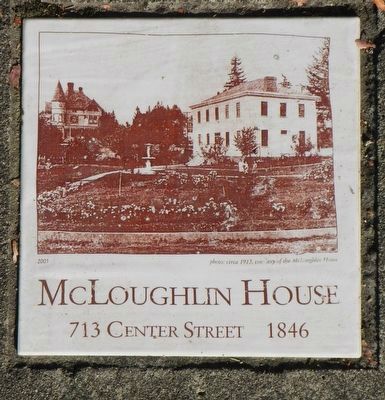
2. McLoughlin House plaque
embedded in the sidewalk in front of the marker.
Photographed by Barry Swackhamer, September 25, 2017
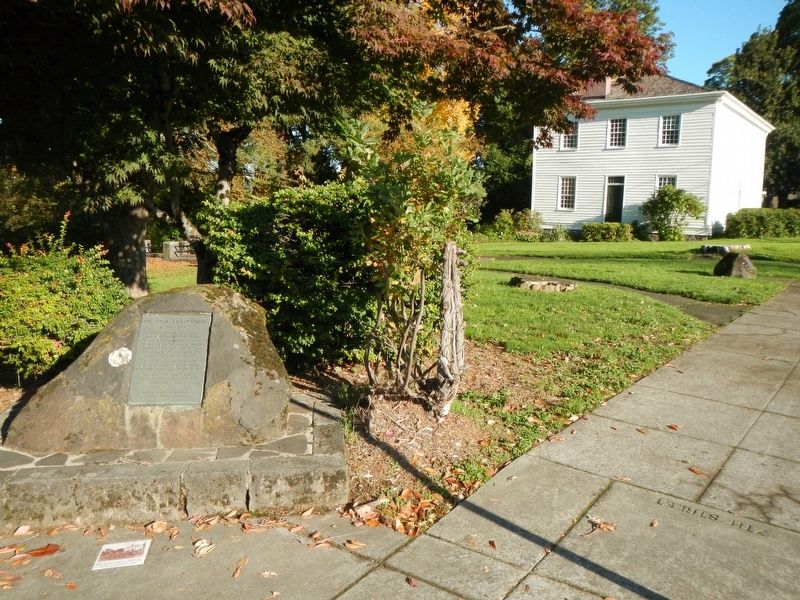
3. Dr. John McLoughlin Marker
McLoughlin House in the background.
Credits. This page was last revised on December 3, 2019. It was originally submitted on February 12, 2018, by Barry Swackhamer of Brentwood, California. This page has been viewed 367 times since then and 31 times this year. Photos: 1, 2, 3. submitted on February 12, 2018, by Barry Swackhamer of Brentwood, California.
