Oregon City in Clackamas County, Oregon — The American West (Northwest)
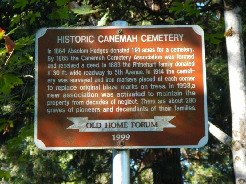
Historic Canemah Cemetery
Erected 1999 by Old Home Forum.
Topics. This historical marker is listed in this topic list: Cemeteries & Burial Sites.
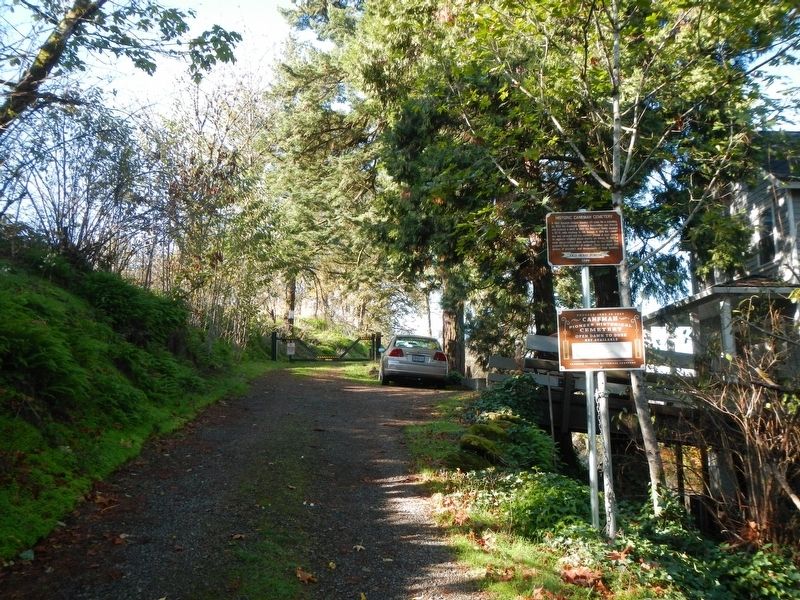
Location. 45° 20.648′ N, 122° 37.535′ W. Marker is in Oregon City, Oregon, in Clackamas County. Marker is on 5th Avenue near Blanchard Street, on the right when traveling west. Touch for map. Marker is at or near this postal address: 815 5th Avenue, Oregon City OR 97045, United States of America. Touch for directions.
Other nearby markers. At least 8 other markers are within walking distance of this marker. Canemah (approx. 0.3 miles away); Dr. John McLoughlin 1784 - 1857 (approx. half a mile away); George Abernethy (approx. half a mile away); Willamette Falls Locks (approx. half a mile away); Willamette Falls (approx. half a mile away); Explosion of Steamer Gazelle (approx. 0.6 miles away); Dr. John McLoughlin (approx. ¾ mile away); Peter Skene Ogden House (approx. ¾ mile away). Touch for a list and map of all markers in Oregon City.
Credits. This page was last revised on February 12, 2018. It was originally submitted on February 12, 2018, by Barry Swackhamer of Brentwood, California. This page has been viewed 327 times since then and 54 times this year. Photos: 1, 2. submitted on February 12, 2018, by Barry Swackhamer of Brentwood, California.

