
Knoxville in Knox County, Tennessee — The American South (East South Central)
Byington
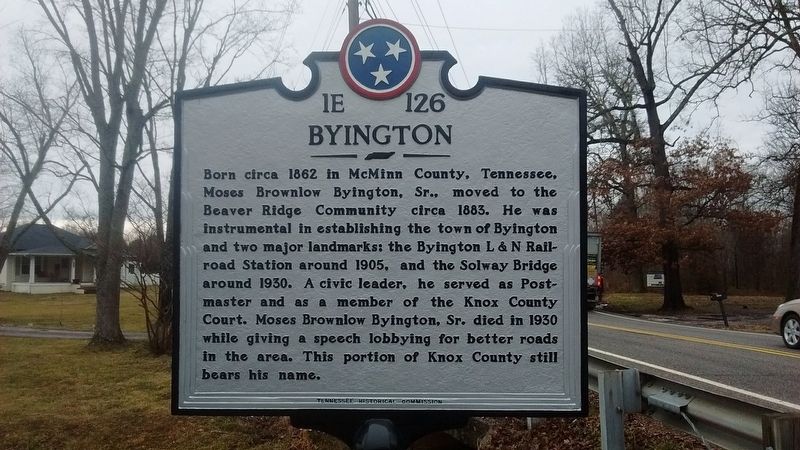
Photographed by Tom Bosse, February 12, 2018
1. Byington Marker
Erected 2016 by Tennessee Historical Commission. (Marker Number 1E 126.)
Topics and series. This historical marker is listed in these topic lists: Bridges & Viaducts • Communications • Railroads & Streetcars • Settlements & Settlers. In addition, it is included in the Tennessee Historical Commission series list. A significant historical year for this entry is 1862.
Location. 35° 58.118′ N, 84° 7.153′ W. Marker is in Knoxville, Tennessee, in Knox County. It is on Byington Beaver Ridge Road (Tennessee Route 131), on the left when traveling north. Touch for map. Marker is at or near this postal
this page online

Regionally, this marker is in East Tennessee. It is also in the American South, specifically in the Upper South, in Appalachia, and specifically in Southern Appalachia. Globally, it is in North America, the Western Hemisphere, the Western World, and the Anglosphere. Historically, it finds itself in what was once the original Cherokee Nation, the territory of the Mississippian Culture, one of the Confederate States of America, and the Antebellum South.
Other nearby markers. At least 8 other markers are within 5 miles of this marker, measured as the crow flies: In Grateful Memory to the Defenders of Cavett Blockhouse (approx. 4.2 miles away); Bull Run Steam Plant (approx. 4.3 miles away); The TVA System of Multi-Purpose Dams (approx. 4.3 miles away); Ball Camp (approx. 4.3 miles away); The Baker-Peters-Rogers House (approx. 4.4 miles away); a different marker also named States View (approx. 4.4 miles away); David Hall Cabin (approx. 4½ miles away); Cavett's Station (approx. 4.6 miles away). Touch for a list and map
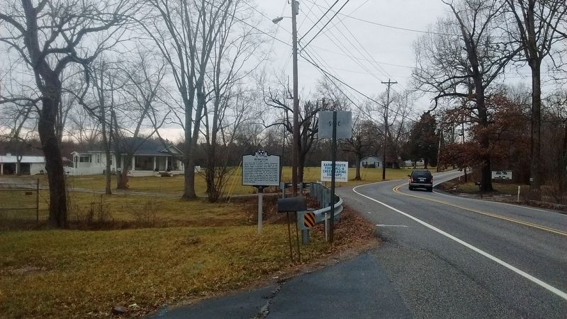
Photographed by Tom Bosse, February 12, 2018
2. Byington Marker
Another marker is no longer nearby. States' View (was approx. 4.4 miles away but has been reported to have been replaced with another marker now near it).
Also see . . . History of Karns High School - The Byington Story. (Submitted on February 12, 2018, by Tom Bosse of Jefferson City, Tennessee.)
Credits. This page was last revised on December 16, 2019. It was originally submitted on February 12, 2018, by Tom Bosse of Jefferson City, Tennessee. This page has been viewed 1,532 times since then and 99 times this year. Photos: 1, 2. submitted on February 12, 2018, by Tom Bosse of Jefferson City, Tennessee. • Bill Pfingsten was the editor who published this page.
