Oregon City in Clackamas County, Oregon — The American West (Northwest)
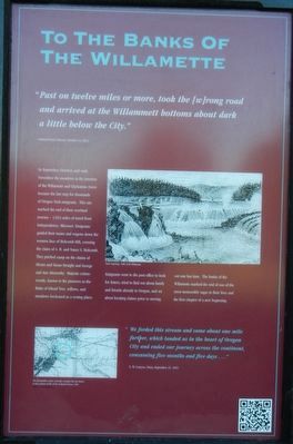
To The Banks Of The Willamette
Inscription.
"Past on twelve miles or more, took the (w)rong road and arrived at the Willammette bottoms about dark a little below the City." -- Samuel Dexter Francis, October 14, 1852
In September and October, and early November the meadows at the junction of the Willamette and Clackamas rivers became the last stop for thousands of Oregon Trail emigrants. This site marked the end of their overland journey - 1,924 miles of travel from Independence, Missouri. Emigrants guided their teams and wagons down the western face of Holcomb Hill, crossing the claim of A.B. and Nancy S. Holcomb. They pitched camp on the claims of Hiram and Susan Straight and George and Ann Abernethy. Majestic cottonwoods, known to the pioneers as the Balm of Gilead Tree, willows, and meadows beckoned as a resting place. Emigrants went to the post office to look for letters, tried to find out about family and friends already in Oregon, and set about locating claims prior to moving out one last time. The banks of the Willamette marked the end of one of the most memorable sagas in their lives and the first chapter of a new beginning.
" We forded this stream and came about one mile further, which landed us in the heart of Oregon City and ended our journey acrosss the continent consuming five months and five days..." -- E.W. Conyers, Diary, September 15, 1852
Erected by End of the Oregon Trail Interpretive Center.
Topics and series. This historical marker is listed in these topic lists: Roads & Vehicles • Settlements & Settlers. In addition, it is included in the Oregon Trail series list.
Location. 45° 21.863′ N, 122° 35.694′ W. Marker is in Oregon City, Oregon, in Clackamas County. Marker can be reached from Washington Street near Abernethy Road, on the right when traveling north. Touch for map. Marker is at or near this postal address: 1726 Washington Street, Oregon City OR 97045, United States of America. Touch for directions.
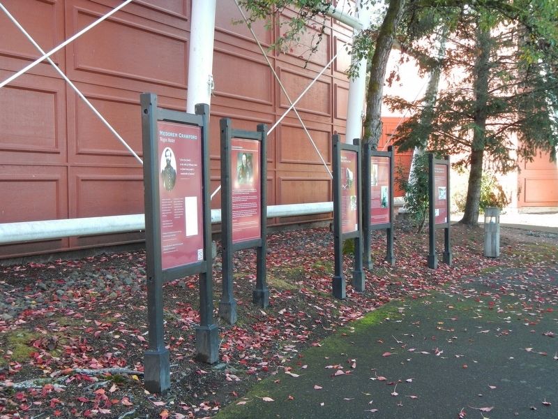
Other nearby markers. At least 8 other markers are within walking distance of this marker. Dr. John McLoughlin (here, next to this marker); The Trail of Tears (here, next to this marker); Oregon (here, next to this marker); Wagons (a few steps from this marker); The Confederate Tribes of Grande Ronde Today (a few steps from this marker); Clackamas Chinook (a few steps from this marker); Coyote Creates Willamette Falls (a few steps from this marker); Medorem Crawford (a few steps from this marker). Touch for a list and map of all markers in Oregon City.
More about this marker. This marker is located next to the End Of Oregon Trail Interpretive Center facing outward towards Abernethy Green.
Credits. This page was last revised on February 16, 2018. It was originally submitted on February 16, 2018, by Barry Swackhamer of Brentwood, California. This page has been viewed 226 times since then and 15 times this year. Photos: 1, 2. submitted on February 16, 2018, by Barry Swackhamer of Brentwood, California.

