Clifton in Fairfax County, Virginia — The American South (Mid-Atlantic)
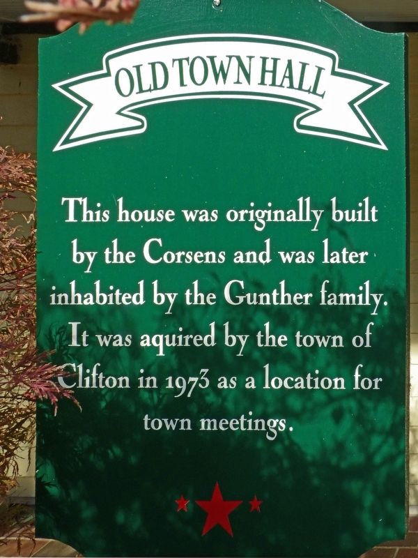
Old Town Hall
Photographed by Allen C. Browne, November 15, 2017
1. Old Town Hall Marker
Topics. This historical marker is listed in this topic list: Government & Politics.
Location. 38° 46.887′ N, 77° 23.057′ W. Marker is in Clifton, Virginia, in Fairfax County. It can be reached from Chapel Road, on the right. Touch for map. Marker is at or near this postal address: 12640 Chapel Road, Clifton VA 20124, United States of America. Touch for directions.

Regionally, this marker is in the Washington Metropolitan Area and in Northern Virginia. It is also in the American South, specifically in the Upper South, in the Mid-Atlantic, and on the Eastern Seaboard. Globally, it is in the North Atlantic Region, North America, the Western Hemisphere, the Western World, and the Anglosphere. Historically, it finds itself in what was once the territory of the Mississippian Culture, one of the original Thirteen Colonies, one of the Confederate States of America, and the Antebellum South.
Other nearby markers. At
this page online
Photographed by Allen C. Browne, November 15, 2017
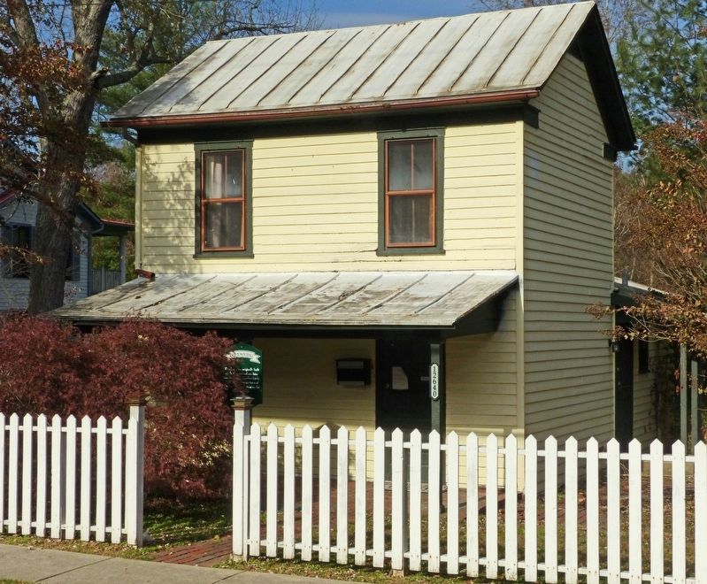
2. Old Town Hall
Photographed by Allen C. Browne, November 15, 2017
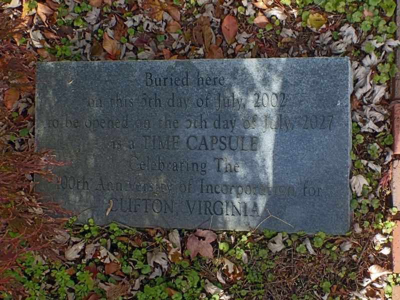
3. Time Capsule
on the 5th day of July, 2002
to be opened on the 5th day of July 2027
is a Time Capsule
Celebrating The
100th Anniversary of Incorporation for Clifton Virginia
Credits. This page was last revised on August 10, 2020. It was originally submitted on February 18, 2018, by Allen C. Browne of Silver Spring, Maryland. This page has been viewed 373 times since then and 36 times this year. Photos: 1, 2, 3. submitted on February 18, 2018, by Allen C. Browne of Silver Spring, Maryland. • Andrew Ruppenstein was the editor who published this page.
