
Klamath Falls in Klamath County, Oregon — The American West (Northwest)
Swede’s Cut
Photographed by Douglass Halvorsen, February 17, 2018
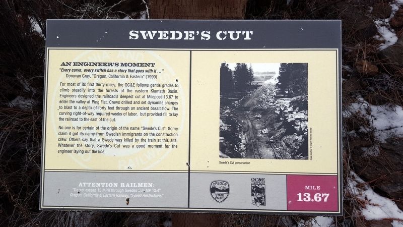
1. Swede’s Cut Marker
An Engineer’s Moment
“Every curve, every switch has a story that goes with it…”
Donovan Gray, “Oregon, California & Eastern” (1990)
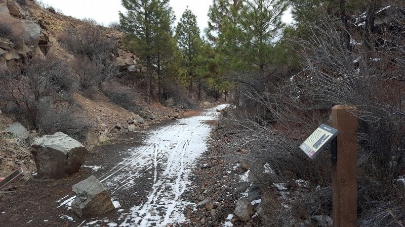
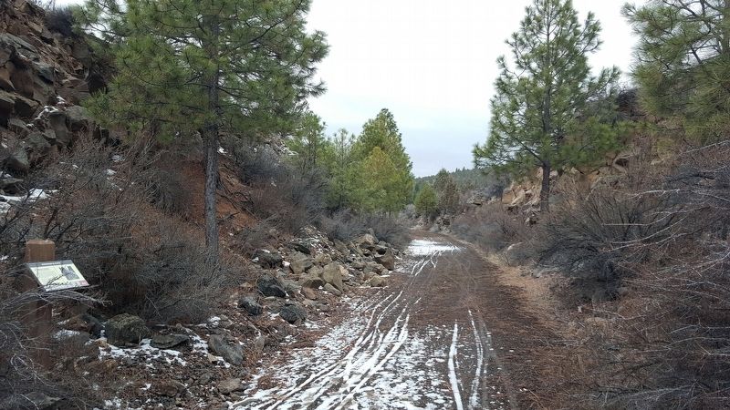
For most of its first thirty miles, the OC&E follows gentle grades to climb steadily into the forests of the eastern Klamath Basin. Engineers designed the railroad’s deepest cut at Milepost 13.67 to enter the valley at Pine Flat. Crews drilled and set dynamite charges to blast to a depth of forty feet through an ancient basalt flow. The curving right-of-way required weeks of labor, but provided fill to lay the railroad to the east of the cut.
No one is for certain of the origin of the name “Swede's Cut.” Some claim it got its name from the Swedish immigrants on the construction crew. Others say that a Swede was killed by the train at this site. Whatever the story, Swede’s Cut was a good moment for the engineer laying out the line.
Attention Railmen:
“Do not exceed 15 MPH through Swede's Cut MP 13.4”
Oregon, California & Eastern Railway, “Speed Restrictions”
Erected by Oregon State Parks, OC&E Woodsline State Trail.
Topics. This historical marker is listed in this
this page online
Location. 42° 13.944′ N, 121° 35.751′ W. Marker is in Klamath Falls, Oregon, in Klamath County. It can be reached from Klamath Falls-Lakeview Highway. Touch for map. Marker is at or near this postal address: 16620 Klamath Falls-Lakeview Hwy, Klamath Falls OR 97603, United States of America. Touch for directions.

Regionally, this marker is in the High Desert and in Southern Oregon. It is also in the American Mountain West and in the Lewis & Clark Corridor. Globally, it is in North America, in the Cascade Range, on the Ring of Fire, in the Pacific Rim, in the Western Hemisphere, in the Western World, and in the Anglosphere.
Other nearby markers. At least 8 other markers are within 10 miles of this marker, measured as the crow flies: Competing Attractions (approx. 4.2 miles away); Lost River Gap and Ford (approx. 4.3 miles away); Henley School World War II Memorial (approx. 7.7 miles away); Stukel Ranch (approx. 8.1 miles away); Beginning of a Trail (approx. 8.1 miles away); Van Brimmer Cabin 1864-1928 (approx. 9.2 miles away); This Marks the Road to Topsy Grade
Photographed by Douglass Halvorsen, February 17, 2018
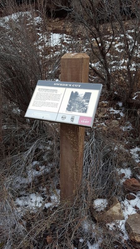
2. Swede’s Cut Marker
More about this marker. Marker is located along the OC&E Woodsline State Trail.
Photographed by Douglass Halvorsen, February 17, 2018
3. Swede’s Cut Marker
Photographed by Douglass Halvorsen, February 17, 2018
4. Swede’s Cut Marker
Credits. This page was last revised on December 27, 2022. It was originally submitted on February 18, 2018, by Douglass Halvorsen of Klamath Falls, Oregon. This page has been viewed 366 times since then and 43 times this year. Photos: 1, 2, 3, 4. submitted on February 18, 2018, by Douglass Halvorsen of Klamath Falls, Oregon. • Andrew Ruppenstein was the editor who published this page.
