Audubon in New Orleans in Orleans Parish, Louisiana — The American South (West South Central)
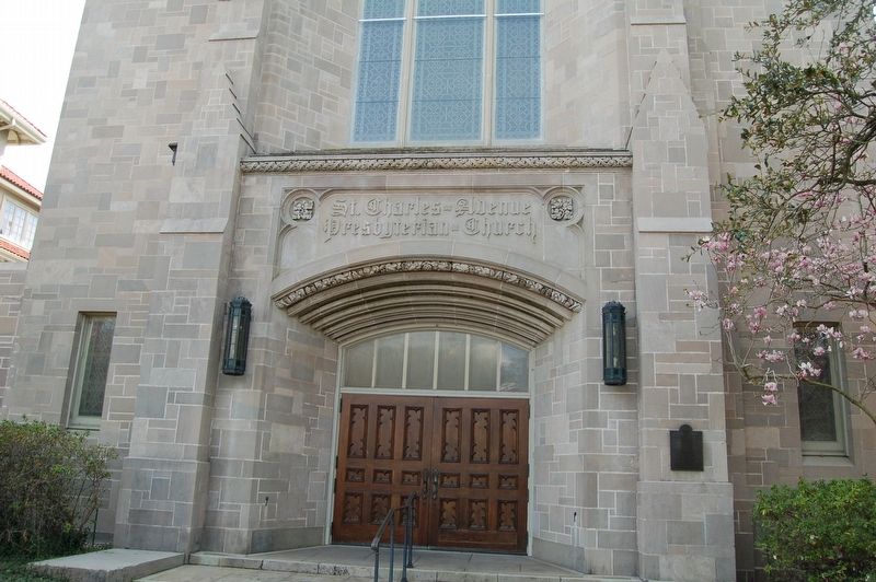
St. Charles Avenue Presbyterian Church
Photographed by Cajun Scrambler, February 17, 2018
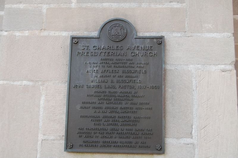
1. St. Charles Avenue Presbyterian Church Marker
Erected 1928-1930.
W.W Van Meter, Architect and Builder.
A gift to the congregation from
Alice Affleck Bloomfield
in memory of her husband
William B. Bloomfield
John Samuel Land, Pastor, 1917-1959
Stained glass windows by Oidtmann Studios, Linnich, Germany interior decorations designed and installed by John Geiser.
Sunday school building erected 1923-1925
W.W. Van Meter, Architect.
Education building erected 1949-1950
Favrot and Reed, Architects Earl L. Mathes, Associate
The congregation began in 1905 under the auspices of the First Presbyterian Church of which it became a branch about 1914.
Organized December 19, 1920 as the St. Charles Avenue Presbyterian Church.
Erected 1990 by Orleans Parish Landmarks Commission.
Topics. This historical marker is listed in these topic lists: Architecture • Religion & Religious Structures.
Location. 29° 55.848′ N, 90° 7.077′ W. Marker is in New Orleans, Louisiana, in Orleans Parish. It is in Audubon. It is at the intersection of St. Charles Avenue and State Street, on the right when traveling east on St. Charles Avenue. Touch for map.
this page online

Regionally, this marker is in one of Louisiana’s River Parishes. It is also in the American South, specifically in the Deep South, on the Gulf Coast, and in the Great River Road Region. Globally, it is in North America, a Gulf of Mexico state, the Western Hemisphere, the Western World, and the Anglosphere. Historically, it finds itself in what was once New Spain, the Viceroyalty of New France, the territory of the Mississippian Culture, the Louisiana Purchase, one of the Confederate States of America, and the Antebellum South.
Other nearby markers. At least 8 other markers are within walking distance of this marker: Land Building (about 300 feet away, measured in a direct line); Judge John Howard Ferguson House (approx. 0.2 miles away); 1451 Exposition (approx. 0.3 miles away); Miss Susie Ellermann's House (approx. 0.4 miles away); Tulane University (approx. 0.4 miles away); Gilbert Academy and New Orleans University (approx. 0.4 miles away); Grand Beginnings (approx. half a mile
Photographed by Cajun Scrambler, February 17, 2018
2. St. Charles Avenue Presbyterian Church Marker
Another marker is no longer nearby. Captain Cooley's House (was approx. half a mile away but has been confirmed missing).
Credits. This page was last revised on January 26, 2024. It was originally submitted on February 19, 2018, by Cajun Scrambler of Assumption, Louisiana. This page has been viewed 738 times since then and 35 times this year. Photos: 1, 2. submitted on February 19, 2018.
