Blue River in Lane County, Oregon — The American West (Northwest)
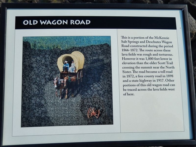
Old Wagon Road
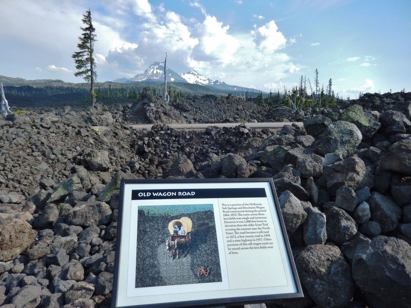
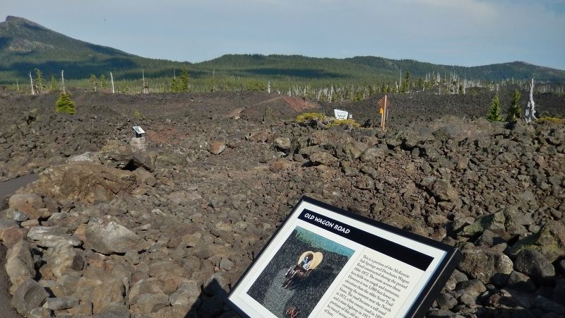
This is a portion of the McKenzie Salt Springs and Deschutes Wagon Road constructed during the period 1866-1872. The route across these lava fields was rough and torturous. However it was 1,000 feet lower in elevation than the older Scott Trail crossing the summit near the North Sister. The road became a toll road in 1872, a free county road in 1898 and a state highway in 1917. Other portions of this old wagon road can be traced across the lava fields west of here.
Topics. This historical marker is listed in these topic lists: Notable Places • Roads & Vehicles • Settlements & Settlers.
Location. 44° 15.621′ N, 121° 48.002′ W. Marker is in Blue River, Oregon, in Lane County. Marker is on Old McKenzie Highway (Oregon Route 242) 22 miles east of Oregon Route 126, on the left when traveling east. Marker is located along the Lava River Interpretive Trail, on the north side of the highway, just east of the Dee Wright Observatory parking lot. Touch for map. Marker is in this post office area: Blue River OR 97413, United States of America. Touch for directions.
Other nearby markers. At least 7 other markers are within 14 miles of this marker, measured as the crow flies. Dee Wright Observatory (about 300 feet away, measured in a direct line); A Fittin' Tribute (about 400 feet away); Wisely Reasoned (about 400 feet away); Pioneer Mailman (approx. 2.1 miles away); Scott Road (approx. 5.1 miles away); Time Traveler (approx. 14 miles away); The Life of a Lake (approx. 14 miles away).
Related markers. Click here for a list of markers that are related to this marker. Old Wagon Road
Also see . . . McKenzie Salt Springs and Deschutes Wagon Road.
Local settler and explorer John Latta discovered this route in 1866. He worked with John Craig in the late 1860s and early 1870s to create what they called the McKenzie Salt Springs and Deschutes Wagon Road. After crossing Scott's Trail, the new road climbed up through the lava beds, thereby reaching a summit at least seven hundred feet lower than Scott's Pass. It was open to travel in 1872 and provided the main transportation link between Eugene City and central Oregon. Craig froze to death in December 1877 in a cabin near the summit. His grave and marker are found near the McKenzie Highway close to Craig Lake. (Submitted on February 19, 2018, by Cosmos Mariner of Cape Canaveral, Florida.)
Photographed By Cosmos Mariner, June 27, 2015
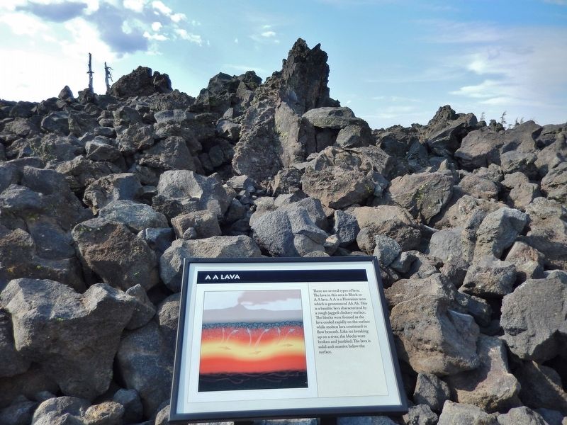
5. A A Lava
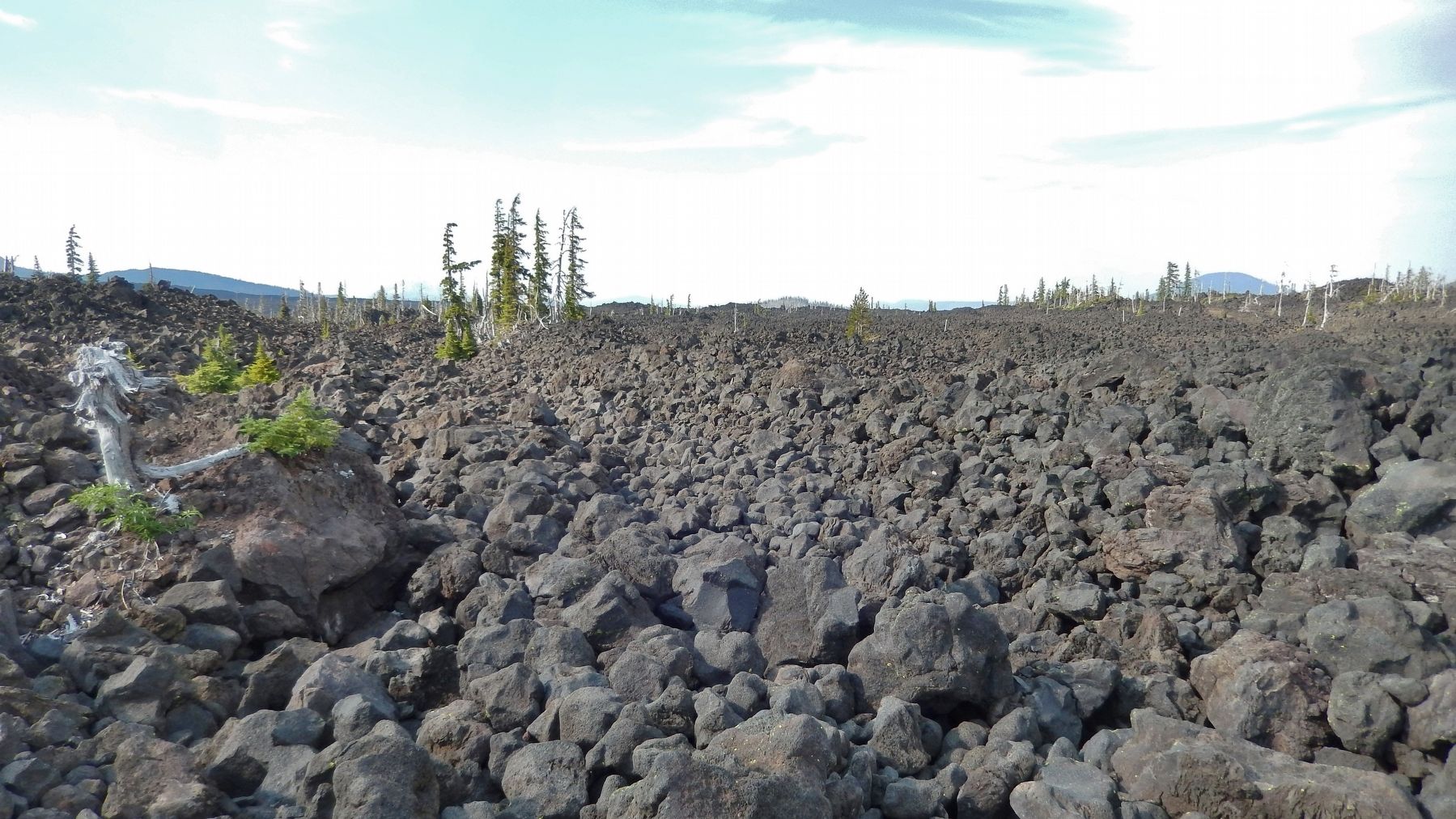
There are several types of lava. The lava in this area is Block or A A lava. A A is a Hawaiian term which is pronounced Ah Ah.
This is a basaltic lava characterized by a rough jagged clinkery surface.
The blocks were formed as the lava cooled rapidly on the surface while molten lava continued to flow beneath. Like ice breaking up on a river, the blocks were broken and jumbled. The lava is solid and massive below the surface.
Photographed By Cosmos Mariner, June 27, 2015
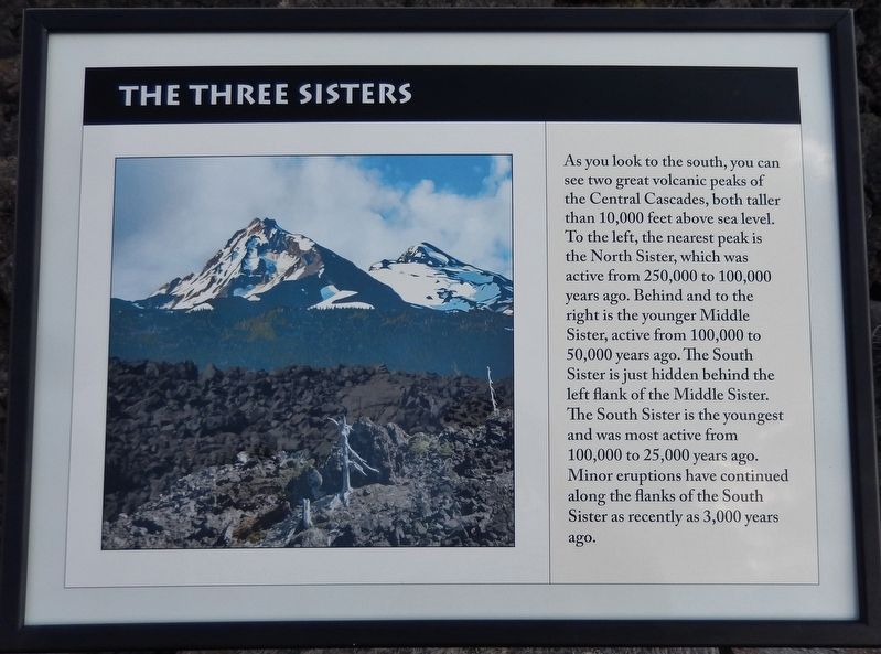
6. The Three Sisters
As you look to the south, you can see two great volcanic peaks of the Central Cascades, both taller than 10,000 feet above sea level. To the left, the nearest peak is the North Sister, which was active from 250,000 to 100,000 years ago. Behind and to the right is the younger Middle Sister, active from 100,000 to 50,000 years ago. The South Sister is just hidden behind the left flank of the Middle Sister. The South Sister is the youngest and was most active from 100,000 to 25,000 years ago. Minor eruptions have continued along the flanks of the South Sister as recently as 3,000 years ago.
Credits. This page was last revised on October 19, 2020. It was originally submitted on February 19, 2018, by Cosmos Mariner of Cape Canaveral, Florida. This page has been viewed 351 times since then and 25 times this year. Photos: 1, 2, 3, 4, 5, 6. submitted on February 19, 2018, by Cosmos Mariner of Cape Canaveral, Florida. • Bill Pfingsten was the editor who published this page.
